Stogovci (Vabča vas) - Kerješetov vrh
Starting point: Stogovci (Vabča vas) (232 m)
Starting point Lat/Lon: 46.33584°N 15.75337°E 
Time of walking: 1 h 30 min
Difficulty: easy marked way
Difficulty of skiing: no data
Altitude difference: 358 m
Altitude difference (by path): 390 m
Map:
Access to starting point:
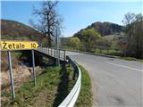
A) We leave Štajerska highway at exit Slovenska Bistrica - jug, and then we follow the road towards Poljčane, and from there towards Makole, Majšperk and Ptuj. At the end of Majšperk at the roundabout we go to the exit in the direction of Žetale and Jurovci. We continue on the main road to the settlement Stanečka vas and a little further. At the end of the settlement Stanečka vas we continue right towards Žetale and Naraplje. At the mentioned crossroad, we already notice the first signs for Jelovice, but we drive a little ahead to the hamlet Vabča vas, where by the bus stop there is the beginning of the described path. At the starting point, there aren't any parking spots.
B) We leave Podravska highway at exit Lancova vas, and then we follow the signs for Podlehnik and Jurovci. At the end of the settlement Tržec at the roundabout we go right towards Jurovci and further we drive towards Majšperk. In the settlement Stogovci we turn left towards Žetale and in the direction of the mountain paths for Jelovice and Kupčinji Vrh. Only a little further from the crossroad we get to the hamlet Vabča vas, where the described path begins. At the starting point, there aren't any parking spots.
Path description:
From hamlet Vabča vas we continue on the asphalt road which leads us along the stream Jesenica and it quickly brings us to the beginning of the settlement Naraplje. A little further at the marked crossroad we continue right in the direction of a marked path on Jelovice (straight - center of the settlement Naraplje), where we continue on a slightly ascending asphalt road which brings us to few houses. At the houses, the road turns right, and we continue straight on a cart track which brings us to the stream Vondušek, which we cross on a small wooden bridge. On the other side of the stream, the path goes into the forest and steeply ascends on a slope. For some time we are steeply ascending through the forest and then we return on the asphalt road, on which we continue the ascent, and it leads below the nearby hamlet. At the smaller crossroad, we continue straight (if we go left we join the marked path from the settlement Naraplje), where we then go also past the chapel. Higher, the path turns left, and at the right turn we join the marked path from the settlement Naraplje.
We short time still continue on the asphalt road, and when the road splits, we continue straight on a footpath, on which in few minutes we ascend to the church of St. Bolfenk.
From the church, we continue towards the south and we descend on the macadam road to the nearby chapel, where we reach an asphalt road.
We continue left towards the top of Jelovice and Donačka gora (right - we descend to Stogovci) and we continue on the asphalt road which is turning towards the right. Already after few minutes we get to the inscription box (control point number 8 on Haloze mountain trail), and we continue on the road which leads us on the eastern slopes of Kerješetov vrh. At the next crossroad, at NOB monument we continue right, and then signs for the peak of Jelovice point us to the right on a footpath. Next follows an ascent through the forest, and after few minutes we join a cart track, on which we continue diagonal ascent. When we reach the ridge, which connects the peak of Jelovice with Kerješetov vrh we go right (left - peak of Jelovice) and we continue on an unmarked footpath, on which in few minutes we get to indistinct peak Kerješetov vrh.
Stogovci - Sveti Bolfenk 1:00, Sveti Bolfenk - Kerješetov vrh 0:30.
Description and pictures refer to a condition in April 2022.
Pictures:
 1
1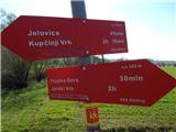 2
2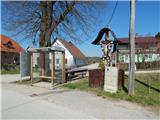 3
3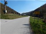 4
4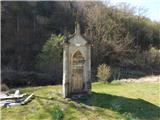 5
5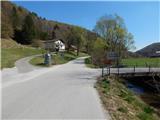 6
6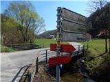 7
7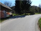 8
8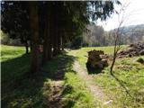 9
9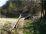 10
10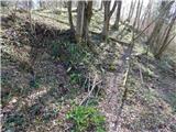 11
11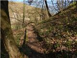 12
12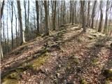 13
13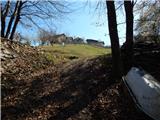 14
14 15
15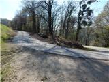 16
16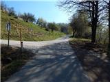 17
17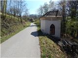 18
18 19
19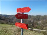 20
20 21
21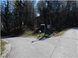 22
22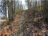 23
23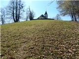 24
24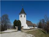 25
25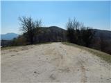 26
26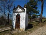 27
27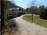 28
28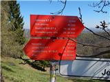 29
29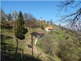 30
30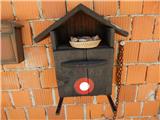 31
31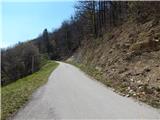 32
32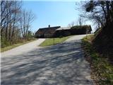 33
33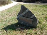 34
34 35
35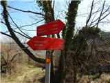 36
36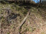 37
37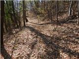 38
38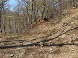 39
39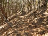 40
40 41
41 42
42 43
43 44
44 45
45