Straža - Želin - Sveti Pavel (Straža)
Starting point: Straža - Želin (247 m)
Starting point Lat/Lon: 46.1022°N 13.9483°E 
Time of walking: 35 min
Difficulty: easy marked way
Difficulty of skiing: no data
Altitude difference: 204 m
Altitude difference (by path): 204 m
Map:
Access to starting point:
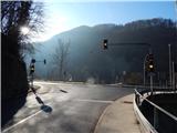
A) We drive to Idrija, and then we continue driving in the direction of Tolmin and Cerkno. When we get to the traffic light crossroad in the settlement Straža - Želin, where the road in Cerkno branches off to the right, there is the beginning of the described path. At the starting point, there aren't any parking spots.
B) From Podbrdo or Most na Soči we drive to Bača pri Modreju, and then we continue driving in the direction of Idrija. When we get to the traffic light crossroad in the settlement Straža - Želin, where the road in Cerkno branches off to the left, there is the beginning of the described path. At the starting point, there aren't any parking spots.
C) We drive to Cerkno, and then we continue driving in the direction of Tolmin and Idrija. When we get to the traffic light crossroad in the settlement Straža - Želin, where to the right the road continues towards Tolmin, and to the left towards Idrija, there is the beginning of the described path. At the starting point, there aren't any parking spots.
Path description:
From the crossroad, we go on the road in the direction of Idrija, and by the road, we walk few 10 meters, after that on a concrete retaining wall we notice signposts for Bevkov vrh, which point us sharply left, on the road which ascends to the nearby homestead. At the homestead, we continue through the yard, and behind the house we go right and we ascend to the nearby hayrack, where we go slightly left, so that we then ascend through a meadow diagonally towards the right. Higher, we get into a lane of a forest and then we go also past the house to which doesn't lead any road. Above the house, the path returns into the forest and starts ascending steeper. For some time we are steeply ascending through the forest and then we reach an asphalt road which we follow to the left. The road soon becomes a macadam, and from there we go slightly right and we ascend to the church of St. Pavel, which is situated on a panoramic hill.
Description and pictures refer to a condition in January 2020.
Pictures:
 1
1 2
2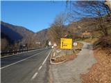 3
3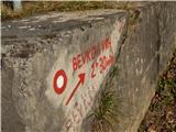 4
4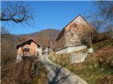 5
5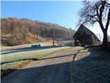 6
6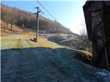 7
7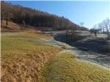 8
8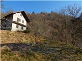 9
9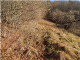 10
10 11
11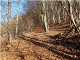 12
12 13
13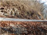 14
14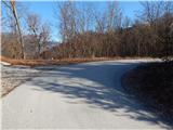 15
15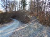 16
16 17
17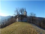 18
18 19
19