Sveti Benedikt (Kančevci) - Rotunda of St. Nikolaj (Selo)
Starting point: Sveti Benedikt (Kančevci) (358 m)
Starting point Lat/Lon: 46.751°N 16.2334°E 
Time of walking: 1 h 20 min
Difficulty: easy marked way
Difficulty of skiing: no data
Altitude difference: -107 m
Altitude difference (by path): -45 m
Map: Pomurje 1:40.000
Access to starting point:
- From highway from the direction of Maribor towards Lendava, we go to the exit for Murska Sobota.
- From Murska Sobota we drive in the direction of Moravske Toplice to the village Martjanci.
- Towards the end of the village Martjanci we turn left, in the direction of village Prosenjakovci (at the crossroad there is also a signpost: Dom duhovnosti Benedikt Kančevci (Home of spirituality Benedikt Kančevci)).
- At the end of the village Sebeborci we again turn left in the direction of village Križevci (at the crossroad there is also a signpost: Dom duhovnosti Benedikt Kančevci (Home of spirituality Benedikt Kančevci)).
- We drive through the village Andrejci and Ivanovci, straight on the main asphalt road.
- At the crossroad signpost Dom duhovnosti Benedikt points us to the right.
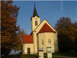
- On the top of the hill stands the church of St. Benedikt Kančevci.
Path description:
- The beginning of the path is at the church of St. Benedikt in Kančevci (358 meters). Blazes point us from the church past the home of spirituality and parking lot towards the village Kančevci.
- The first part of the path leads on an asphalt road (approximately 800 meters), then blazes and a sign PPP (Pomurje mountain trail) leads into the forest.
- After few meters, we cross the asphalt road and we continue through the forest.
- At the next crossroad, we turn left, which is shown also by blazes on the trees.
- For approximately 1.5 kilometer we follow this roads and blazes. We come to a crossroad with an asphalt road and we turn to the left.
- After few minutes, we come to the next crossroad, where we go straight, again on a macadam road (past the sign: GOZDNA CESTA (forest road)).
- For approximately 1 kilometer we go straight and we follow the blazes. We come to a crossroad, orchards and bench for a rest.
- Signs point us to the right among orchards and past few houses (hamlet Makotrov breg). Macadam road passes into an asphalt road.
- The path leads through the forest, and in the distance we already notice the church of St. Nikolaj in Selo (ROTUNDA).
- To the church leads the path through meadows.
- We continue forward towards Evangelical church in Selo. At the next crossroad, we turn left and we cross the stream.
- We come to the next crossroad, where we turn right on the main asphalt road.
- We follow this road and after a little less than a kilometer we get to the fire station in Selo and to Evangelical church in Selo, which is also the destination of this path.
- In the warmer months the tour can also be done by bike.
- The entire path is approximately 7km long, approximately 1h and 20min of walking.
On the way: Cerkev sv. Benedikta (KANČEVCI) (358m), Cerkev sv. Nikolaja v Selu (ROTUNDA) (251m), Evangeličanska cerkev Selo (313m)
Pictures:
 1
1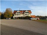 2
2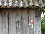 3
3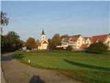 4
4 5
5 6
6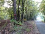 7
7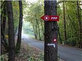 8
8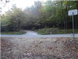 9
9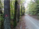 10
10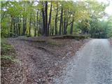 11
11 12
12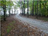 13
13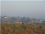 14
14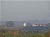 15
15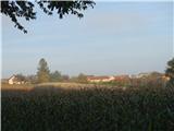 16
16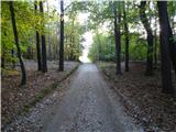 17
17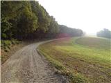 18
18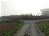 19
19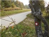 20
20 21
21 22
22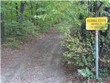 23
23 24
24 25
25 26
26 27
27 28
28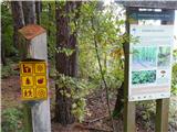 29
29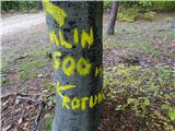 30
30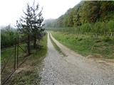 31
31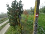 32
32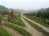 33
33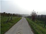 34
34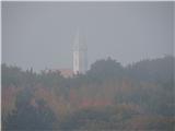 35
35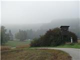 36
36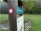 37
37 38
38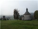 39
39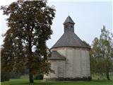 40
40 41
41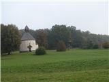 42
42 43
43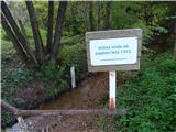 44
44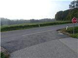 45
45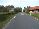 46
46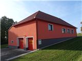 47
47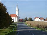 48
48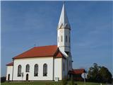 49
49