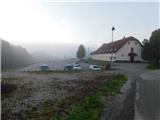
Starting point: Sveti Tomaž (293 m)
Starting point Lat/Lon: 46.48274°N 16.08009°E 
Time of walking: 1 h 50 min
Difficulty: easy marked way
Difficulty of skiing: no data
Altitude difference: 59 m
Altitude difference (by path): 160 m
Map:
Access to starting point:
A) We drive to Ptuj, and then we follow the signs for Ljutomer and later Sveti Tomaž. When we get to the settlement Sveti Tomaž we park on one of the parking lots in the settlement.
B) From the road Ormož - Ptuj, in the settlement Mihovci pri Veliki Nedelji we go right towards Velika Nedelja, ahead we drive towards the settlement Savci, where we go right towards Ljutomer and Sveti Tomaž. When we get to the settlement Sveti Tomaž we park on one of the parking lots in the settlement.
C) From Ljutomer we drive towards Ptuj and Sveti Tomaž. When we get to the settlement Sveti Tomaž we park on one of the parking lots in the settlement.
Path description:
From the center of the settlement, we continue on the main road which continues towards the west to southwest, and at first leads us past the primary school. Settlement Sveti Tomaž soon ends, and at the nearby crossroad, we go right in the direction of Rakovci and Trnovci, and we continue on a narrower asphalt road, by which we are accompanied by trail blazes. Next follows some of walking through the forest, and when we leave the forest, we go past individual houses. Further, we still walk on the asphalt road, and when we get to the hamlet Trnovski breg we go from the asphalt road right on a marked macadam road, by which there are signs for Gomila.
We continue on the macadam road which leads towards the nearby farm, and still before the farm blazes point us to the left downwards, where we descend on a cart track to the edge of the forest. We short time continue by the edge of the forest and then the path passes into the forest and descends considerably. Lower, we get to the farm, which we bypass on the right side, and when we reach the asphalt road we go right, and after few steps, we go left. Further, we are still accompanied by blazes, and in a gentle ascent in few minutes we get to the turn to the right, where we go slightly left on the road by which there is a traffic sign, that we will continue on a dead-end street. Few minutes ahead we get to the next crossroad, where we continue straight (at this crossroad there aren't any signs for dead-end street), and the path then leads us also past the chapel and few houses, and before the last house we go slightly left on a cart track which continues through a meadow. After few minutes of easy walking we get by the edge of the forest, where we start ascending steeper. Higher, the path turns at first right, and then also left. We continue through the yard of an older house, and behind it we on a macadam road quickly get to a marked crossing, where we reach an asphalt road. We follow the road to the right towards the lookout tower on Gomila, and at the smaller crossing, we choose the slightly right road. Even a little further, we go left and we get to snack bar Okrepčevalnica pri Stolpu, where we go once again left. Next follows a shorter ascent on the stairs and we get to the top of Gomila, where there is a lookout tower.
Description and pictures refer to a condition in October 2022.
On the way: Rakovci (304m), Trnovci (240m)
Pictures:
 1
1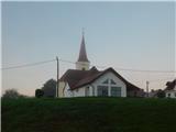 2
2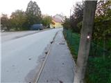 3
3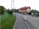 4
4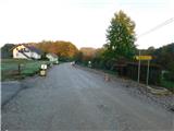 5
5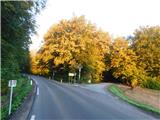 6
6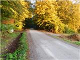 7
7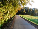 8
8 9
9 10
10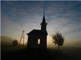 11
11 12
12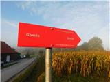 13
13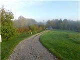 14
14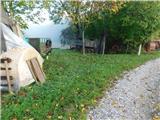 15
15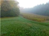 16
16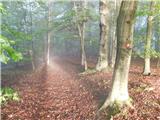 17
17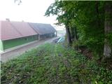 18
18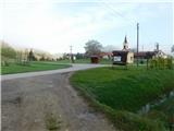 19
19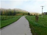 20
20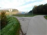 21
21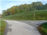 22
22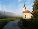 23
23 24
24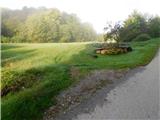 25
25 26
26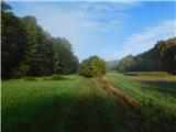 27
27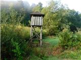 28
28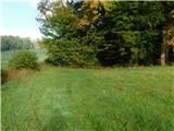 29
29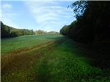 30
30 31
31 32
32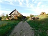 33
33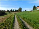 34
34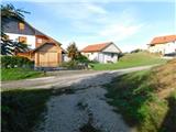 35
35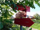 36
36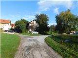 37
37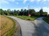 38
38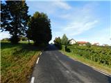 39
39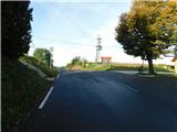 40
40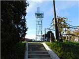 41
41 42
42 43
43