Sydney - Coogee Beach - Sydney - Bondi Beach
Starting point: Sydney - Coogee Beach (10 m)
Starting point Lat/Lon: -33.92108°N 151.25768°E 
Time of walking: 1 h 45 min
Difficulty: easy marked way
Difficulty of skiing: no data
Altitude difference: 0 m
Altitude difference (by path): 150 m
Map:
Access to starting point:
City bus number 373(with stops in the city centre and also near the Sydney opera).
Train to the Bondi Junction (a transport hub in that part of the city).
Please note that the Opal card is necessary for public transport in Sydney.
Parking places are available. GPS address: Bondi Beach, New South Wales, 2034, Australia.
Alternatives: taxi, uber.
Path description:
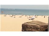
He Coogee to Bondi walk is one of the most popular walks in Sydney. Expect great ocean views, eye-catching rock formations, wave surfers and awesome sandy beaches. As a general rule, throughout the walk just follow the wide path from the beginning to the end. If you take the wrong turn and the path unexpectedly ends, retrace your steps and take a higher path instead. If you choose to ignore this, you may need to do some scrambling with up to II. UIAA difficulty.
Begin a 6-kilometer walk at Bondi Beach, and pass Dolphins Point, Clovelly Bay, Bronte and Tamarama before arriving at Bondi Beach. Return the same way or use public transport to Bondi Junction and change there for Coogee Beach.
On the way: Dolphins Point (40m), Clovelly Bay (5m), Bronte (30m), Tamarama (30m)
Pictures:
 1
1 2
2 3
3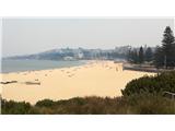 4
4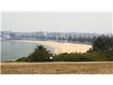 5
5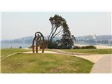 6
6 7
7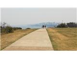 8
8 9
9 10
10 11
11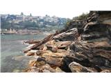 12
12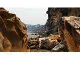 13
13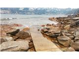 14
14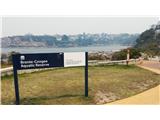 15
15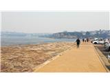 16
16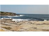 17
17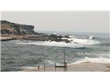 18
18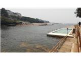 19
19 20
20 21
21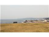 22
22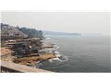 23
23 24
24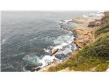 25
25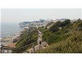 26
26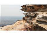 27
27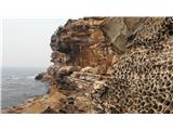 28
28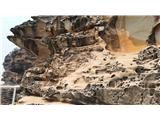 29
29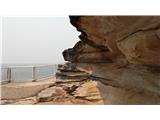 30
30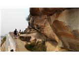 31
31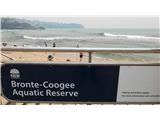 32
32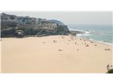 33
33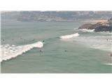 34
34 35
35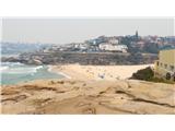 36
36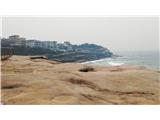 37
37 38
38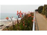 39
39 40
40 41
41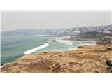 42
42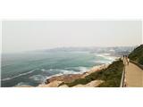 43
43 44
44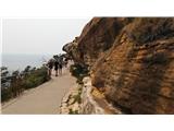 45
45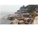 46
46 47
47 48
48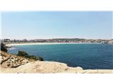 49
49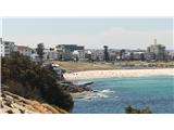 50
50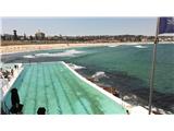 51
51 52
52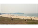 53
53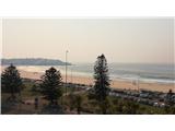 54
54