The Kot Valley - Požgana Mlinarica
Starting point: The Kot Valley (950 m)
Starting point Lat/Lon: 46.4157°N 13.8977°E 
Time of walking: 4 h
Difficulty: difficult unmarked way
Difficulty of skiing: no data
Altitude difference: 918 m
Altitude difference (by path): 1050 m
Map: Triglav 1:25.000
Access to starting point:
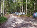
We leave Gorenjska highway at exit Hrušica and follow the road ahead in the direction of Kranjska Gora. Just a little before the village Dovje the road which goes to Mojstrana (Vrata, Kot and Krma) branches off to the left. We follow the road ahead in the direction of village Radovna and the valleys Krma and Kot. The relatively steep road then runs past the TNP sign, behind which the road soon flattens and it brings us to a crossroad, where a macadam road into a valley Kot branches off to the right (straight Radovna and Krma). This occasionally a bit rough road, we then follow to the parking lot, where we also notice mountain signposts.
Path description:
From the parking lot, we continue on a wide cart track (bad road), which after few minutes of easy walking it brings us to the turning point (parking is not desirable here). Here the marked path towards the mountain hut Staničev dom slightly descends and crosses a torrent, and we continue slightly right on a cart track which is gently ascending on the right side of the torrent (left bank). After approximately 3 minutes of walking from the turning point from the cart track unmarked hunting path branches off to the right on which we then continue an ascent. The path which is further at first ascending gently quickly brings us to a stream, by which we are for a short time ascending and then we cross it. On the other side of the stream, the path is in numerous zig-zags relatively steeply ascending and eventually brings us out of the forest on quite overgrown grassy slopes. The path from which nice views opening up mainly on Macesnovec, Luknja peč and Rjavina higher again hides in the forest. When the footpath brings us on an indistinct side ridge we can in few steps ascend to a nice vantage point, from which a view opens up on peaks above valleys Kot and Krma.
On indistinct ridge path turns left (not on the ridge) and in a diagonal ascent brings us on with grass vegetated smaller scree, which is surrounded by numerous larches. The path then goes again in the forest, higher turns to the right and after a little longer diagonal ascent brings us on the main ridge, where we continue sharply left.
The path ahead runs on a steep and relatively narrow with a forest covered ridge (in wet dangerous for slipping). To here not very demanding path then brings us on the secondary peak of Rušnata Mlinarica, where can less experienced also end the tour (peak is recognizable by a big cairn). We continue on the ridge, which is more and more vegetated with dwarf pines, but passages are nice because dwarf pine is cutted. A little further, the path brings us to shorter steep jump (at broken steel cable), where we have to ascend with the help of dwarf pines 5 meters steeply upwards. The path which runs on a relatively steep slope and occasionally narrow ridge then over numerous secondary peaks and gullies brings us on unvegetated and panoramic peak Rušnata Mlinarica.
From Rušnata Mlinarica we still continue on narrow and in some parts exposed ridge. Difficulty further doesn't decrease and on the path follows few more steep ascents and exposed crossings. We are avoidning problems mostly on the left side of the ridge. Such a path leads us all the way to a panoramic summit Požgana Mlinarica.
Pictures:
 1
1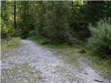 2
2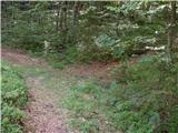 3
3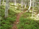 4
4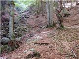 5
5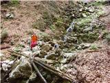 6
6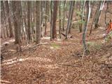 7
7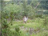 8
8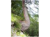 9
9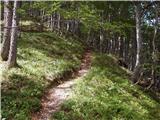 10
10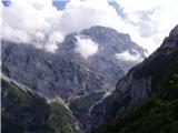 11
11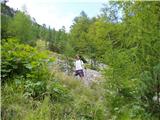 12
12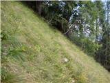 13
13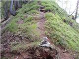 14
14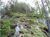 15
15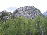 16
16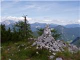 17
17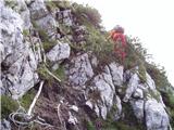 18
18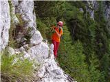 19
19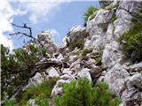 20
20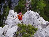 21
21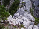 22
22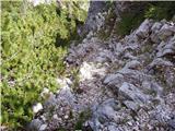 23
23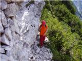 24
24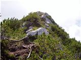 25
25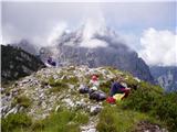 26
26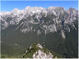 27
27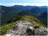 28
28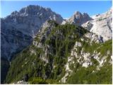 29
29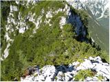 30
30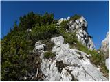 31
31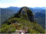 32
32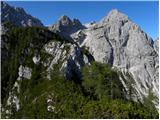 33
33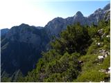 34
34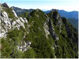 35
35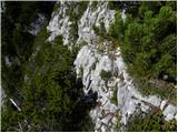 36
36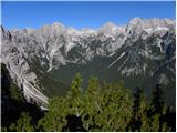 37
37 38
38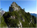 39
39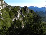 40
40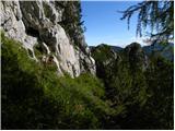 41
41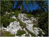 42
42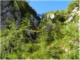 43
43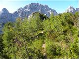 44
44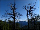 45
45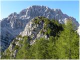 46
46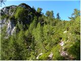 47
47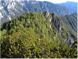 48
48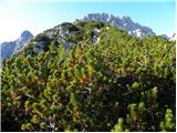 49
49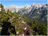 50
50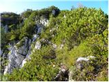 51
51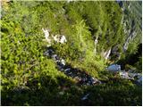 52
52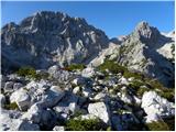 53
53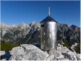 54
54