Tonkina koča na Vršiču - Erjavčeva koča na Vršiču
Starting point: Tonkina koča na Vršiču (1380 m)
Starting point Lat/Lon: 46.4391°N 13.7539°E 
Time of walking: 25 min
Difficulty: easy unmarked way
Difficulty of skiing: no data
Altitude difference: 145 m
Altitude difference (by path): 150 m
Map: Kranjska Gora 1:30.000
Access to starting point:
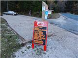
From Kranjska Gora on the road which leads over the mountain pass Vršič we drive towards Bovec or vice versa. Between 16th and 17th hairpin turn of Vršič road we will get to the mountain hut Tonkina koča, near of which we park on a parking lot by the road.
Path description:
From the parking lot, we at first walk to the mountain hut Tonkina koča, and from there we continue on the old road which leads towards the mountain hut Poštarski dom na Vršiču. On a quite gentle road, from which occasionally a nice view opens up towards Špik and surrounding mountains, we walk to the first left zig zag. On the mentioned zig zag unmarked footpath branches off slightly to the right, which leads towards the mountain hut Erjavčeva koča na Vršiču. After two three strides footpath turns left and then it is ascending parallel with nearby torrent gully. Few minutes higher we reach a marked path Erjavčeva koča - Poštarski dom, and we follow it to the right, so in the direction towards the mountain hut Erjavčeva koča. A gentle descent follows, and then also a crossing of previously mentioned gully. With nice views on Špik group and Škrlatica, then in few minutes of crossing, we reach the parking lot below the mountain hut Erjavčeva koča, from which only a short ascent follows to already several times mentioned mountain hut.
Trip can be extended to: Križ
Pictures:
 1
1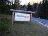 2
2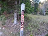 3
3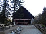 4
4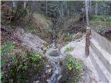 5
5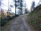 6
6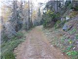 7
7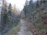 8
8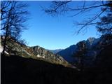 9
9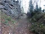 10
10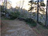 11
11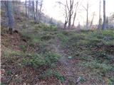 12
12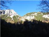 13
13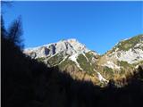 14
14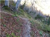 15
15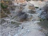 16
16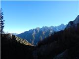 17
17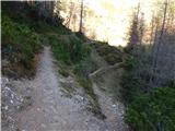 18
18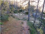 19
19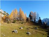 20
20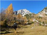 21
21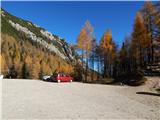 22
22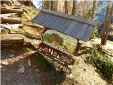 23
23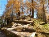 24
24 25
25 26
26