Starting point: Topol (700 m)
Starting point Lat/Lon: 46.0937°N 14.3695°E 
Time of walking: 45 min
Difficulty: easy marked way
Difficulty of skiing: easily
Altitude difference: 74 m
Altitude difference (by path): 130 m
Map: Ljubljana-Okolica 1:50.000
Access to starting point:
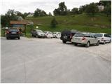
From Medvode we drive to the village Sora, where we go towards the village Topol (Katarina). When the road brings us in the mentioned village we park on a large parking lot.
From Dobrova we drive ahead towards Polhov Gradec. When signpost for village Topol point us to the right we go on this road and we follow it to a crossroad in the village Topol. We continue towards the village Sora, but only to the parking lot, which we see on the right side of the road.
Path description:
From the parking lot, we ascend few ten strides on an asphalt road to a crossroad by which we notice numerous signposts. We continue left in the direction of St Katarina, St Jakob and Jeterbenk. Relatively steep asphalt road after few minutes of walking, it brings us to a poorly marked crossroad at the chapel, where we continue right towards St Katarina and Jeterbenk (left St Jakob). The path then past numerous signposts brings us to the church of St. Katarina. We continue straight on a macadam road which starts descending and after few minutes of additional walking brings us to a crossing at the chapel.
We continue straight in the direction of Jeterbenk (left Žlebe, right Slavkov dom) on a wide path, which higher at holiday cottage changes into a steep footpath, and in good 5 minutes it brings us to the summit of Jeterbenk.
On the way: Sveta Katarina (750m)
Pictures:
 1
1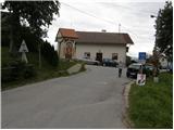 2
2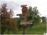 3
3 4
4 5
5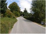 6
6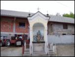 7
7 8
8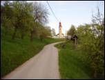 9
9 10
10 11
11 12
12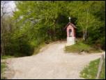 13
13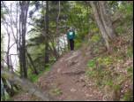 14
14 15
15