Trnje / Dornach - Singerberg / Žingarica
Starting point: Trnje / Dornach (449 m)
Starting point Lat/Lon: 46.5296°N 14.2477°E 
Time of walking: 3 h 20 min
Difficulty: easy marked way
Difficulty of skiing: no data
Altitude difference: 1140 m
Altitude difference (by path): 1140 m
Map: Karavanke - osrednji del 1:50.000
Access to starting point:
A) Through border crossing Ljubelj we drive to Austria, where on the main road towards Celovec / Klagenfurt am Wörtersee we drive to the second roundabout, from there we continue driving in the direction of exit Bistrica v Rožu / Feistritz im Rosental (main road towards Celovec we leave still before we cross river Drava). In the settlement Struga / Strau we turn left towards Kapla / Kappel an der Drau, and in the mentioned settlement after the church left. Village soon ends, and at the chapel we go left and then we already get to the settlement Trnje / Dornach, where at hiking sign there is the beginning of the described path. At the starting point, there aren't any parking spots.
B) From Dravograd or Slovenj Gradec we drive to Ravne na Koroškem, and then we continue driving in the direction of border crossing Holmec. When we drive in Austria at first we drive towards Pliberk / Bleiburg, and then we follow the signs for Globasnica / Globasnitz and ahead Železna Kapla / Bad Eisenkappel, Borovlje / Ferlach. Behind Borovlje at the roundabout, we join the road through the border crossing Ljubelj. Here in first roundabout we continue in the direction of Celovec / Klagenfurt, in the second in the direction of Bistrica v Rožu / Feistritz im Rosental. In the settlement Struga / Strau we turn left towards Kapla / Kappel an der Drau, and in the mentioned settlement after the church left. Village soon ends, and at the chapel we go left and then we already get to the settlement Trnje / Dornach, where at hiking sign there is the beginning of the described path. At the starting point, there aren't any parking spots.
Path description:
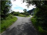
From described starting point we continue on the right road in the direction of Žingarica / Singerberg, where the path leads also past few houses. Above the village the asphalt ends, and the road passes into the forest, and at the sign for a forest road we leave the road and we continue slightly right on a marked footpath. After few minutes of the ascent, we return on the road, and we are for some time ascending there, and when blazes from there point us to the left, we continue on a marked path. After a short ascent, the path flattens and a little ahead we cross a crossroad of forest roads and cart tracks. We short time continue by the small stream and then the path turns slightly left and it ascends through a lane of a forest. We soon reach the cart track which after few steps ends, and we ascend on the mountain path to the next cart track, and the path a little ahead brings us to the farm Žingar / Singerbauer
We continue on a bad road which leads us through a meadow and it quickly brings us to a marked crossing.
From the crossing, we go left in the direction of Žingarica (straight saddle Albnik / Halbingsattel and Žingarica over the mentioned saddle), and the path for a short time still leads through a panoramic meadow, and then passes into the forest. For a short time, we are ascending through the forest and then we reach a worse road, on which we few minutes continue. After the smaller crossroad, where we go right, blazes lead left on a little more overgrown mountain path. Above the overgrown part path passes into the forest, where we cross few cart tracks, and higher we few times also cross the forest road. Next follows a steep ascent, where we are ascending in shorter zig-zags. Higher, the path turns a little to the right and for some time ascends even steeper. Next follows crossing of a grazing fence, where the path reaches the ridge, flattens and turns to the right.
Next follows less than 5 minutes of walking and the path brings us to the summit of Žingarica, for a nice view it is worth to walk few more 10 strides further.
Description and pictures refer to a condition in the year 2018 (June).
On the way: Žingar / Singerbauer (831m)
Pictures:
 1
1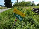 2
2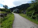 3
3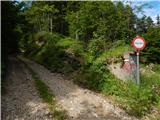 4
4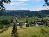 5
5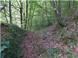 6
6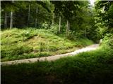 7
7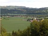 8
8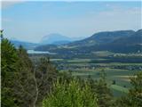 9
9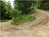 10
10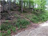 11
11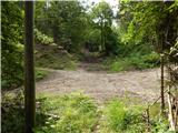 12
12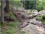 13
13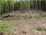 14
14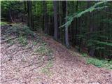 15
15 16
16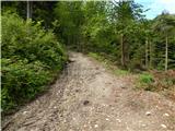 17
17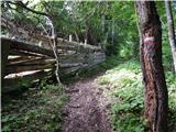 18
18 19
19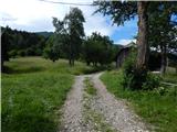 20
20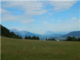 21
21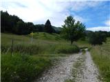 22
22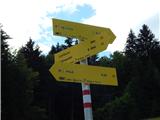 23
23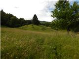 24
24 25
25 26
26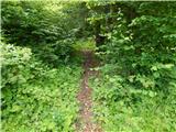 27
27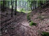 28
28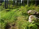 29
29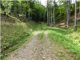 30
30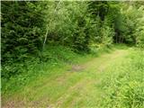 31
31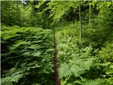 32
32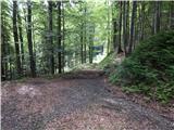 33
33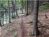 34
34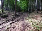 35
35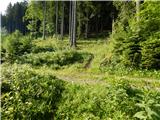 36
36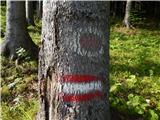 37
37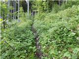 38
38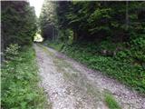 39
39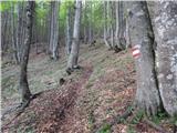 40
40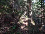 41
41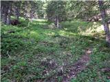 42
42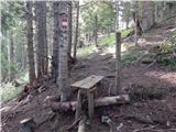 43
43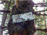 44
44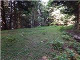 45
45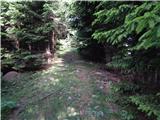 46
46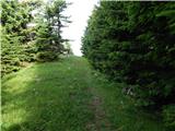 47
47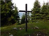 48
48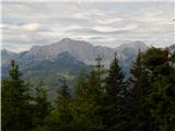 49
49