Trnovec - Brunarica Osovnik (via Mavški graben)
Starting point: Trnovec (390 m)
Starting point Lat/Lon: 46.1235°N 14.3537°E 
Path name: via Mavški graben
Time of walking: 1 h 15 min
Difficulty: easy marked way
Difficulty of skiing: no data
Altitude difference: 387 m
Altitude difference (by path): 410 m
Map: Ljubljana - okolica 1:50.000
Access to starting point:
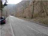
A) First, we drive to Medvode, after that at Spar store we leave the main road and we continue towards the railway station and settlement Sora. In Sora we turn left in the direction of Katarina, when we get to the settlement Trnovec, we need to pay attention to red signposts for Osolnik, which we notice on the right side of main road. Good 100 meters ahead at the turn-off of the macadam road also other. We park on a parking lot by the road, between the both turn-offs of paths on Osolnik.
B) From Kranj we drive towards Škofja Loka, from periphery of Škofja Loka then we follow the signs for Gorenja vas. Before the tunnel Sten from a roundabout we drive on exit in the direction of the settlement Sora. Further, we drive through the settlement Hosta, Pungert, Gosteče and Draga, to the settlement Sora, where we turn right towards Katarina. When we get to the settlement Trnovec, we need to pay attention to red signposts for Osolnik, which we notice on the right side of main road. Good 100 meters ahead at the turn-off of the macadam road also other. We park on a parking lot by the road, between the both turn-offs of paths on Osolnik.
C) From the valley Poljanska dolina we drive towards Škofja Loka and then on bypass road and through the tunnel Sten. After the tunnel we turn right and we follow the signs for settlement Sora. Further, we drive through the settlement Hosta, Pungert, Gosteče and Draga, to the settlement Sora, where we turn right towards Katarina. When we get to the settlement Trnovec, we need to pay attention to red signposts for Osolnik, which we notice on the right side of main road. Good 100 meters ahead at the turn-off of the macadam road also other. We park on a parking lot by the road, between the both turn-offs of paths on Osolnik.
Path description:
From the starting point, we return a little back, and then at the smaller hamlet we notice signs for circular path on Osolnik, which point us on a side road which by the entrance into the forest changes into a cart track. Next follows at first gentle ascent by the stream Mavški graben, and then the path becomes steeper, and stream more scenic. Higher over a small bridge we cross the stream, after that from a gully we pass on a slope. A few minutes of ascent through the forest follows, and then by the edge of the meadow, where on the left we already see the peak of Osolnik, the path turns right in the forest, where for some time entirely flattens. Next follows a short moderate ascent, and then we reach the road, where we join the path from Sora.
We continue left to the nearby crossroad, where at the religious symbol footpath on Osolnik branches off to the right, and we continue straight, on the left road in the direction of log cabin Osovnik. Soon after the crossroad we step out of the forest and for some time we continue with nice views and without large changes in altitude. After the crossing of a shorter lane of a forest we ascend on a smaller saddle, where there are sutuated some houses.
We continue straight downwards (right top of Osolnik), and then we go on first crossroad left to the near log cabin Osovnik, to which we have only few 10 strides of walking.
Description and pictures refer to a condition in the year 2018 (March).
Pictures:
 1
1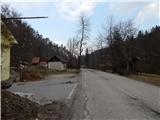 2
2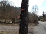 3
3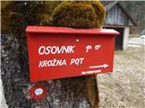 4
4 5
5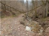 6
6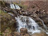 7
7 8
8 9
9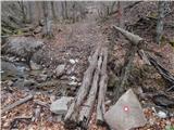 10
10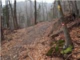 11
11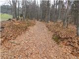 12
12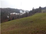 13
13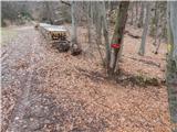 14
14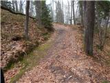 15
15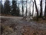 16
16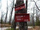 17
17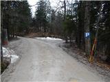 18
18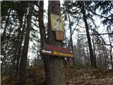 19
19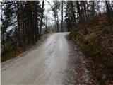 20
20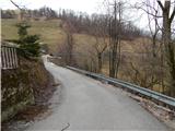 21
21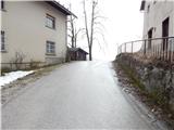 22
22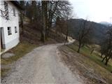 23
23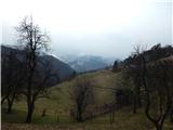 24
24 25
25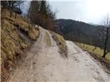 26
26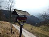 27
27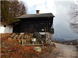 28
28 29
29