Tržič - Kamnek (Radetzky way)
Starting point: Tržič (530 m)
Starting point Lat/Lon: 46.3647°N 14.3103°E 
Path name: Radetzky way
Time of walking: 1 h
Difficulty: easy marked way
Difficulty of skiing: no data
Altitude difference: 343 m
Altitude difference (by path): 343 m
Map: Storžič in Košuta, 1: 25.000, PZS
Access to starting point:
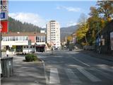
We drive to Tržič and at the crossroad before the restaurant Raj we turn left over the bridge into the old part of the town (Freedom square). We drive on a narrow street straight to the church, which we bypass slightly to the left still on the same road. Soon after this, we see caption "Pizzerija" and on our right path branches off through an old yard door uphill above us. We drive past the caption "parkirišče za goste pizzerije" (parking lot for guests of restaurant) few more meters to the parking lot below the castle, where we park.
Path description:
From the parking lot, we go on a macadam path on a few meters distant ridge of the hill, on which we've parked. On the ridge a nice view opens up on Tržič below us, and few steps to the right there is a sign attached on the wall, where we can read the history of the castle, which used to be property of count Radetzky (to him is dedicated to Strauss's "Radetzky March", which we can hear on every New Year's concert of the Vienna Philharmonic). And for the beginning of our path on that viewpoint we go to the left and we start ascending on a pleasant forest footpath on a slope of Kamnek. Few meters after this from the right side joins another footpath which brings us on this ridge from the parking lot in front of the hall Dvorana tržiških olimpijcev (where there is the second option of parking and the beginning of the ascent). We then follow a well visible and beaten footpath, the path is few times marked with blazes and arrows. After few minutes of walking, we get to gardens with some garden sheds and small holiday cottages, where a big trail blaze attached on a sign on a garden fence points on the middle, on the wide path uphill. The second half of the path is a little steeper, after approximately an hour of walking on a slope we get to the ridge, from which there isn't much of a view, because we are still in a rare mixed forest. The path from the ridge ahead ascends a little steeper, the last few 10 meters below the summit very steeply. We soon reach the peak, where there is a bench and inscription book, and on the pole Slovenian flag is flaring. A view on all sides is a very nice, we see Dobrča, Stol, Begunjščica, entire Košuta, gorge Dovžanova soteska, valley Lomska dolina, Storžič, Kriška gora and more.
We can return on the same path, or it is even nicer, if we make a small turn, so that from the peak we continue in the direction of Pirmance. The path runs at first on the ridge and descends a little, and soon (after few minutes) we get to a crossing. The path which runs still straight on the ridge, further brings us to Pirmance, Kal and Kofce, and we turn on a footpath which branches off left downwards (it isn't marked). This footpath we follow all the time on a slope, few times from there other footpaths branch off, either to the right downwards, or to the left upwards, and we all the time stick to the most beaten. The footpath all the time leads on a slope, through a rare mixed forest above the area of Tržič, which the locals calls "na fabriki", until it lower joins the footpath, on which we previously went on Kamnek. From here we return to the starting point, which is distant about 10 minutes of walking.
Pictures:
 1
1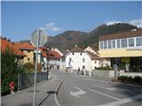 2
2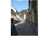 3
3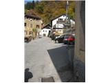 4
4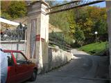 5
5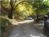 6
6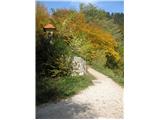 7
7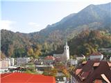 8
8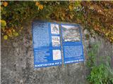 9
9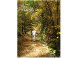 10
10 11
11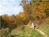 12
12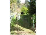 13
13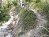 14
14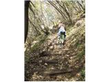 15
15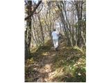 16
16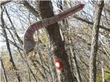 17
17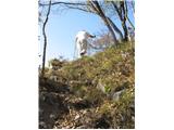 18
18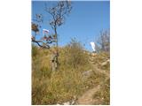 19
19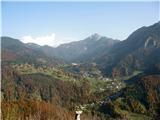 20
20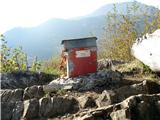 21
21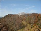 22
22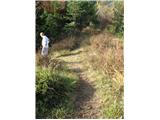 23
23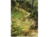 24
24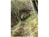 25
25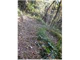 26
26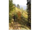 27
27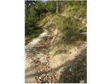 28
28