Ukanc - Planina Zadnji Vogel (via Žagarjev graben)
Starting point: Ukanc (570 m)
Starting point Lat/Lon: 46.2758°N 13.8358°E 
Path name: via Žagarjev graben
Time of walking: 2 h 30 min
Difficulty: easy marked way
Difficulty of skiing: no data
Altitude difference: 843 m
Altitude difference (by path): 843 m
Map: TNP 1:50.000
Access to starting point:
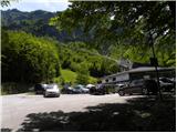
From highway Ljubljana - Jesenice we go to the exit Lesce and follow the road towards Bled, Bohinjska Bistrica, Ribčev Laz and ski slope Vogel. We park on a large settled parking lot at the bottom station of the cableway on Vogel.
Path description:
Below bottom station of the cableway on Vogel we notice a forest road (in the winter time ski track), which starts moderately ascending towards the west. The path ahead is for some time gently to moderately ascending, and then it brings us out of the forest on a panoramic slope, from where a beautiful view opens up on Komarča, Pršivec and Lake Bohinj.
After that the road starts turning more and more to the left and is becoming steeper and steeper. Higher, we continue on a relatively steep ski track, on which all the time leads worse and gravel transport road. After a time the road or ski track for some time flattens, and then it again steeply ascends and it brings us to a marked crossing, where we continue left in the direction of Ski hotel on Vogel (straight bottom station of two-seater chairlift Zadnji Vogel).
Only a little further, we get to the next crossing, where we continue right towards the mountain pasture Zadnji Vogel (slightly left Ski hotel on Vogel and mountain hut Planinska koča Merjasec). On ski track we walk a little less than 10 minutes and the path brings us to cheese cottage on the mountain pasture Zadnji Vogel.
Pictures:
 1
1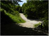 2
2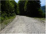 3
3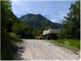 4
4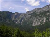 5
5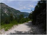 6
6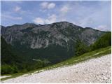 7
7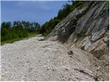 8
8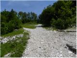 9
9 10
10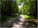 11
11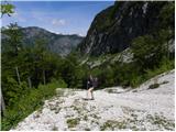 12
12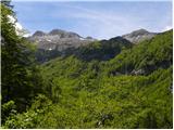 13
13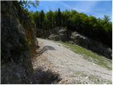 14
14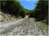 15
15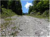 16
16 17
17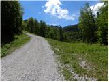 18
18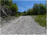 19
19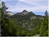 20
20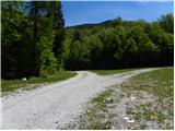 21
21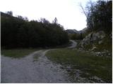 22
22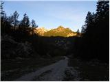 23
23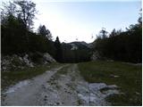 24
24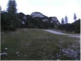 25
25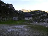 26
26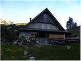 27
27