Vas na Skali - Planina v Plazeh (by road)
Starting point: Vas na Skali (1010 m)
| Latitude/Longitude: | 46,3404°N 13,7097°E |
| |
Route name: by road
Walking time: 2 h 45 min
Difficulty: easy unmarked way
Elevation gain: 538 m
Elevation difference along the route: 600 m
Map: TNP 1:50.000, Trenta 1:25.000
Recommended equipment (summer):
Recommended equipment (winter):
Views: 6.510
 | 1 person like this post |
Access to starting point:
From Bovec, we drive towards Trenta or vice versa. At the village Soča, more precisely at the spot where signs for the tourist farm Jelinčič point us to the right (from the direction of Trenta - left), we leave the main road and continue driving on a narrower, but asphalted road. The road ascends further through the dispersed settlement Vrsnik and brings us higher to the starting point of the path for the ascent to the mountain pasture Za Skalo. We continue further on the occasionally quite steep road, which we follow to a smaller parking lot in front of a ramp that prohibits further driving.
Route description:
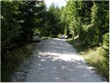
From the starting point, we continue on a macadam road which is closed to public traffic with a traffic sign and a ramp. The road first begins to ascend moderately towards the north, then on the section named Kuhinja turns sharply to the right. Higher up, we reach steep and partly unvegetated slopes, from which a beautiful view opens up on the surrounding mountains. The road then returns into the forest and past the TNP sign - main area brings us to or under Polog, where a smaller wooden hut stands and near it a bench with a table.
We continue on the macadam road, on which cycling is also forbidden from here on. The road higher up becomes completely flat, then continues with some shorter ascents and descents all the way to the section named Dol pod plazmi. Here the road begins to ascend more steeply and higher up makes some hairpin turns. After a while we arrive at the edge of the mountain pasture Planina v Plazeh, and at the spot where we notice a hunting observatory, we leave the road and continue on a slightly overgrown footpath, on which in 5 minutes of further walking we arrive at the TNP hut on the mentioned mountain pasture.

Along the route: Polog (1333m)
Photos:
 1
1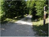 2
2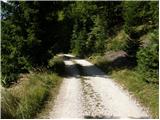 3
3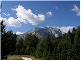 4
4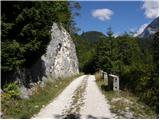 5
5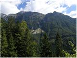 6
6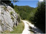 7
7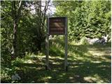 8
8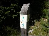 9
9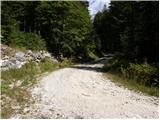 10
10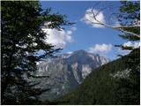 11
11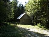 12
12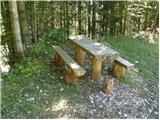 13
13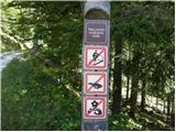 14
14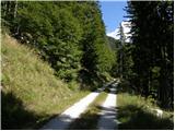 15
15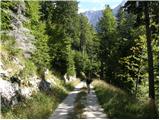 16
16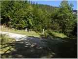 17
17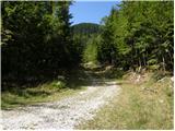 18
18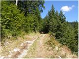 19
19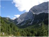 20
20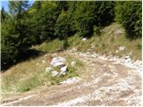 21
21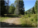 22
22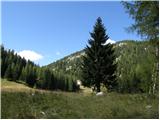 23
23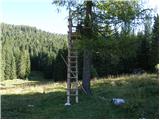 24
24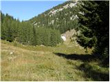 25
25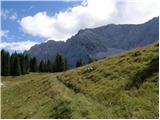 26
26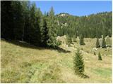 27
27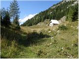 28
28 29
29
Discussion about the trip Vas na Skali - Planina v Plazeh (by road)
To post a comment you must log in:
If you do not yet have a username, you must first
register.