Starting point: Vitanje (452 m)
Time of walking: 1 h 50 min
Difficulty: easy marked way
Difficulty of skiing: no data
Altitude difference: 639 m
Altitude difference (by path): 650 m
Map: Pohorje 1:50.000
Access to starting point:
A) From highway Ljubljana - Maribor we go to the exit Celje - center and we continue driving towards Vojnik. In Vojnik we continue left towards Dobrna, and we follow the mentioned road to the settlement Nova Cerkev, where signs for Vitanje point us to the right. Further, we drive on a narrower and winding road, on which we get to the settlement Vitanje. We park on an appropriate place somewhere in the center of the settlement.
B) From highway Maribor - Ljubljana we go to the exit Slovenske Konjice, and then we follow the road towards the mentioned settlement. From Slovenske Konjice we continue driving on a regional road towards Celje, and we follow it to the settlement Stranice, where at the roundabout, we turn right towards Vitanje. We follow the road to the mentioned settlement, where somewhere in the center of the settlement, we park on an appropriate place.
C) From the road Velenje - Slovenj Gradec, at the settlement Gornji Dolič we turn right (if we come from the direction Slovenj Gradec left) towards Vitanje. When we get to the mentioned settlement we park on an appropriate place in the middle of the settlement.
Path description:
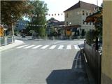
From the spot, where we've parked, we at first walk to the main crossroad in Vitanje, and from there we continue on the main road towards Slovenske Konjice. On the main road we walk few 100 meters and then signpost points us to the right downwards to the nearby small bridge. After the small bridge, we ascend on the road past the kindergarten to street Cvetlična ulica. When we ascend there to a crossroad with the street Štajnhof, we continue left, and on the road we ascend to the last house which is located next to the sharp left turn. At the end of the turn, a macadam road branches off to the right, and we walk there only 2 meters and then we continue left in the forest (to here possible also with a car).
We continue on a marked path which starts steeply ascending through the forest. Higher, the path becomes even steeper, and then it brings us to a viewpoint with a bench, where it flattens. Further, the path leads us past the prefab cottage, and higher when the forest ends also past the farm Vodovnik. Here blazes for some time end, and we continue through the yard of the mentioned farm and then on the forest road back in the forest. We continue on the road about a minute, and then a narrower footpath branches off to the right, on which we continue the ascent. Further, we are again a little steeper ascending through the forest, and the steepness decreases a little higher when we reach the next forest road which is usually quite muddy. We continue on the road which at the next crossroad we follow left and then after few minutes right. Now we walk on the forest road which continues parallel with a wide cart track. When the forest gets thinner, blazes vanishes again, and we get to a very wide and well maintained road which we only cross. We continue on a zig-zag path which leads us through the low forest and fern. Higher, the path returns into the forest and in front of us there is the last steepness. For some time we are steeply ascending, and then before we reach the ridge, where a short footpath branches off towards the nearby viewpoint. When we reach the ridge, the path flattens, and from there a footpath branches off towards shrine Marijina roka. From the crossing follows 5 more minutes of walking and we get to the top of Stenica.
Pictures:
 1
1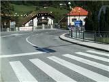 2
2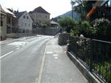 3
3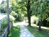 4
4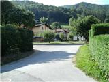 5
5 6
6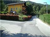 7
7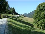 8
8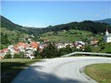 9
9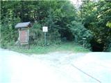 10
10 11
11 12
12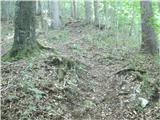 13
13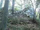 14
14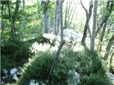 15
15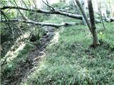 16
16 17
17 18
18 19
19 20
20 21
21 22
22 23
23 24
24 25
25 26
26 27
27 28
28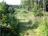 29
29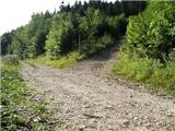 30
30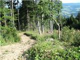 31
31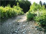 32
32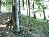 33
33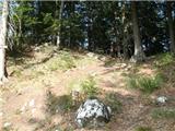 34
34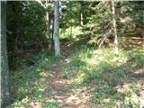 35
35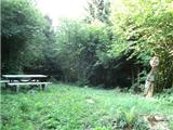 36
36