Volčji Potok - Castle Stari grad (Volčji Potok) (steep path)
Starting point: Volčji Potok (338 m)
Starting point Lat/Lon: 46.1848°N 14.6064°E 
Path name: steep path
Time of walking: 20 min
Difficulty: easy unmarked way
Difficulty of skiing: no data
Altitude difference: 60 m
Altitude difference (by path): 60 m
Map:
Access to starting point:
A) From highway Ljubljana - Maribor we go to the exit Domžale, and then we continue driving in the direction of the settlement Vir and Arboretum Volčji Potok. Further, we follow the signs for Volčji Potok, and we drive through Količevo, Škrjančevo, Radomlje and Hudo, and then we get to the settlement Volčji Potok, where we park on a large parking lot at Arboretum Volčji Potok.
B) From Mengeš or Domžale we drive to Radomlje, and from there we follow the signs for Volčji Potok. When we get to Volčji potok we park on a large parking lot at Arboretum Volčji Potok.
C) From highway Ljubljana - Jesenice we go to the exit Vodice, and then we continue driving towards Kamnik. After Qlandia Kamnik we at first cross the river Kamniška Bistrica, and then we get to a roundabout, where we continue right in the direction of Volčji Potok. When we get to Volčji potok, we park on a large parking lot at Arboretum Volčji Potok.
D) From Gornji Grad or Luče we drive to Kamnik, and then on Kamnik bypass road we get to a roundabout, and from there we continue driving in the direction of Volčji Potok. When we get to Volčji potok, we park on a large parking lot at Arboretum Volčji Potok.
Path description:
From the parking lot, we at first walk to the cashier's desk, where we buy tickets, and then we enter the park Arboretum Volčji Potok. We at first walk straight on a wider walking path which leads along a small stream and from there views open up on landscaped park and part of Kamnik Savinja Alps. Further there are several crossings, and past French Garden (Francoski vrt) we walk to the coffee shop. From the coffee shop we go a little left and then on the right we notice an unmarked turn-off of poorly beaten path which starts ascending. At first, we are still ascending on a settled path, and then the path changes into a forest footpath, on which in few minutes we ascend on 398 meters high peak, on which there are renovated ruins of the castle Stari grad.
Description and pictures refer to a condition in the year 2016 (August).
Pictures:
 1
1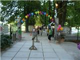 2
2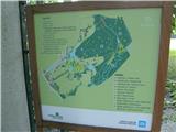 3
3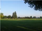 4
4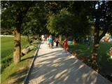 5
5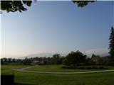 6
6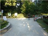 7
7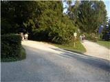 8
8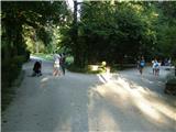 9
9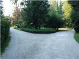 10
10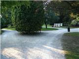 11
11 12
12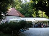 13
13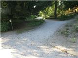 14
14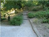 15
15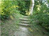 16
16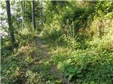 17
17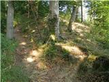 18
18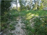 19
19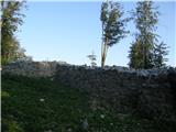 20
20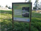 21
21