Vranček - Loibler Baba/Košutica (eastern way)
Starting point: Vranček (950 m)
Starting point Lat/Lon: 46.4279°N 14.2726°E 
Path name: eastern way
Time of walking: 2 h 50 min
Difficulty: difficult unmarked way
Difficulty of skiing: more demanding
Altitude difference: 1018 m
Altitude difference (by path): 1018 m
Map: Karavanke - osrednji del 1:50.000
Access to starting point:
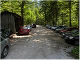
From the Ljubljana–Jesenice highway, take the Ljubelj exit and follow the road ahead towards the border crossing. When we leave the last tunnel (we recognise it by the fact that after the tunnel on the left side of the road there is scree) we will notice in the first sharp left turn a road maintenance hut and next to it a macadam road. Here we park on a smaller parking lot or we drive on a bad road further to the next parking lot, which is situated a little higher.
Path description:
From the parking lot, we go on a bad forest road and follow it ahead. The road higher crosses a torrent bed, after that slightly ascends and then brings us to the spot where it ends. Ahead we cross the bridge and continue on a cart track which moderately ascends on partly overgrown scree. The cart track makes a few sharp turns and brings us from the northern slopes of Košuta to the southern slopes of Košutica.
Further, we mostly ascend through the forest, which brings us to a larger clearing. Here the cart track turns sharply left and ascends towards the mountain pasture Korošica. A little before the mountain pasture we cross a grazing fence, where a beautiful view opens up. From the meadow we go slightly right below the hut, which we see above us. The path then turns left and in a few steps of ascent brings us to the hut on the mountain pasture Korošica.
From the hut, we go right in the direction of Veliki vrh towards Hajnževo sedlo. The path ahead crosses the slopes of Košutica mostly in a gentle ascent through increasingly sparse forest. We follow this increasingly scenic path to Hajnževo sedlo, where the path from Austria joins.
On the saddle, we go left and start to ascend quite steeply (right Veliki vrh). Initially we ascend on the Slovenian side of the ridge among dwarf pines, then the path runs for some time on a slightly exposed ridge. Next follows a shorter ascent on the Austrian side with the aid of a fixed cable and soon we reach the forepeak. From the forepeak we then descend a few metres with the aid of a fixed cable and immediately thereafter steeply ascend again to the summit, where there is also the summit logbook.
Starting point - Korošica 1:35, Korošica - Košutica 1:15.
Pictures:
 1
1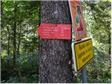 2
2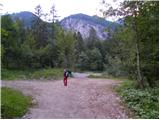 3
3 4
4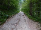 5
5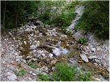 6
6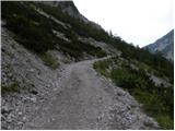 7
7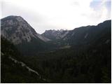 8
8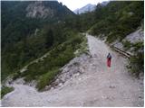 9
9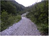 10
10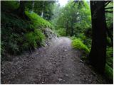 11
11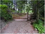 12
12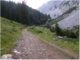 13
13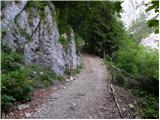 14
14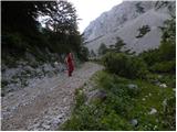 15
15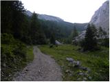 16
16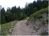 17
17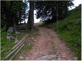 18
18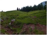 19
19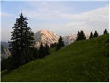 20
20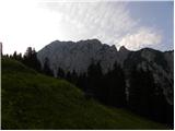 21
21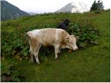 22
22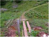 23
23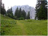 24
24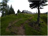 25
25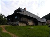 26
26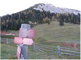 27
27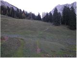 28
28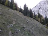 29
29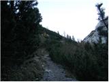 30
30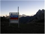 31
31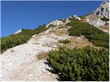 32
32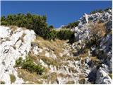 33
33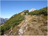 34
34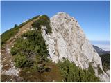 35
35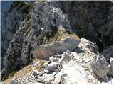 36
36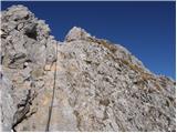 37
37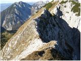 38
38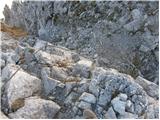 39
39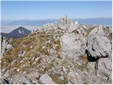 40
40