Wiesser Alm - Mirnock (Path 184)
Starting point: Wiesser Alm (1607 m)
Starting point Lat/Lon: 46.75697°N 13.73224°E 
Path name: Path 184
Time of walking: 1 h 30 min
Difficulty: easy marked way
Difficulty of skiing: no data
Altitude difference: 503 m
Altitude difference (by path): 503 m
Map:
Access to starting point:
A) Through the Karawanks Tunnel, we drive to Austria, and then we continue driving on Tauern highway, which we leave already at Villach bypass road and we continue driving towards settlements Treffen am Ossiacher See and Afritz am See. At the end of the settlement Afrizt am See just before the lake Afritzer See we turn left, where signs for Afritzer See and Weisser Alm point us to. We drive on the main road through the settlement Liezberg all the way to the gate, where we pay with coins the use of a mountain road Liezberger Straβe. After approximately 9 km of the macadam road we get to a smaller parking lot on the mountain pasture Weisser Alm.
B) From Štajerska or Koroška, we at first drive to Dravograd and then over the border crossing Vič into Austria, where we then follow the signs for Celovec / Klagenfurt and further to Beljak (Villach). We continue driving on Tauern highway, which we leave already at Villach bypass road and we continue driving towards settlements Treffen am Ossiacher See and Afritz am See. At the end of the settlement Afrizt am See just before the lake Afritzer See we turn left, where signs for Afritzer See and Weisser Alm point us to. We drive on the main road through the settlement Liezberg all the way to the gate, where we pay with coins the use of a mountain road Liezberger Straβe. After approximately 9 km of the macadam road we get to a smaller parking lot on the mountain pasture Weisser Alm.
Path description:
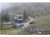
Only a little further from the parking lot on the mountain pasture Weisser Alm we come to a crossing where we continue straight where signs for Mirnock on the path 184 lead us to, and to the left leads the path over Rindernock. The path slightly rises and we soon get to signs for Mirnock and Hochalmhütte, which leads us left on a little steeper footpath. The footpath few times flattens and again becomes steeper. A little before the end of the forest border we again come to a crossing, where we follow the sign for Mirnock or footpath 184, which ascends a little steeper from the forest border. Here we can in the early autumn sweeten with blueberries. Soon the slope becomes grassy and in front of us, we see the peak on which stands a cross. We are ascending on the footpath on a grassy slope, where just below the summit joins the path 185. We turn left and after few 10 meters we are on the summit. The very panoramic peak we can leave on a circular path, which runs also past the peak Rindernock. If we decide for a circular path to the starting point, we descend on the footpath 183, which is quite similar as before described path 184.
Pictures:
 1
1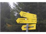 2
2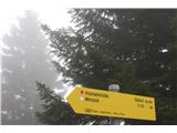 3
3 4
4 5
5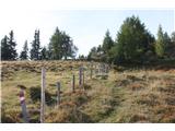 6
6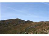 7
7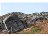 8
8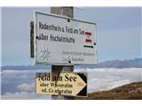 9
9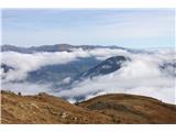 10
10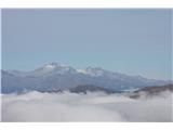 11
11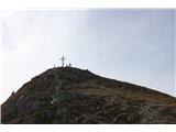 12
12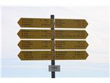 13
13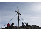 14
14