Zadnja Trenta (Flori) - Bavški Grintavec (direct way)
Starting point: Zadnja Trenta (Flori) (900 m)
Starting point Lat/Lon: 46.4043°N 13.7098°E 
Path name: direct way
Time of walking: 4 h 30 min
Difficulty: very difficult marked way
Difficulty of skiing: very demanding
Altitude difference: 1447 m
Altitude difference (by path): 1447 m
Map: TNP 1:50.000
Access to starting point:
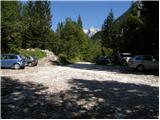
From Kranjska Gora over mountain pass Vršič we drive towards Bovec or vice versa, but only to 49th hairpin turn of Vršič road (near the village Trenta). Here we go on a side road in the direction of source of river Soča. The road after a shorter ascent quickly brings us to the parking lot before the mountain hut Koča pri izviru Soče, but we continue left over a bridge and follow the road ahead to the parking lot at the end of the road (by parking lot we notice signposts for Bavški Grintavec, waterfalls of Suhi potok and Jalovec).
Path description:
From the parking lot, we go on the bottom road in the direction of Bavški Grintavec. The road at first runs through the valley on the right side of the stream Suhi potok, and soon we cross a riverbed of the stream and the road passes into a footpath. After that, the path runs mostly through the forest and it brings us to a crossroad, where we go right following the signs Bavški Grintavec. Left runs the path towards waterfalls Zapotoški slapovi. Again we cross the stream and we start ascending on steep slopes above the valley Zadnja Trenta. After that, the path several times crosses a steep torrents and there are also some fixed safety gear for help. The path soon avoids steep slopes above the valley and through the forest brings us to the mountain pasture Planina Zapotok. On the mountain pasture path turns a little to the left and starts ascending through a thin forest. Soon also last larches vanish and wonderful views open up on Jalovec, Bavški Grintavec and peaks above the valley Zadnja Trenta. The path is then ascending on grassy slopes and it brings us to the scree below Bavški Grintavec. Here we come to a crossing, where we go left. The right path runs over saddle Kanja on Bavški Grintavec and is one of the most difficult paths in Slovenia.
We continue left and we start ascending over the scree, soon the path turns slightly to the right and starts ascending even steeper towards the ridge on which we join the path from the saddle Kanja. The path again steeply ascends and is becoming more and more crumbly. The path then leads us over a narrow passages and soon turns right steeply upwards, where we are ascending with the help of few stemples and iron spikes. Next follows some easy climbing without fixed safety gear on very crumbly slope towards the summit, which rewards us with wonderful views on all sides.
On the way: Planina Zapotok (1385m)
Pictures:
 1
1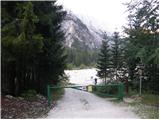 2
2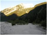 3
3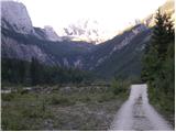 4
4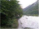 5
5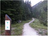 6
6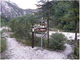 7
7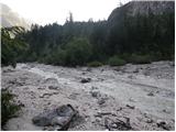 8
8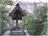 9
9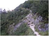 10
10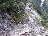 11
11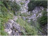 12
12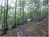 13
13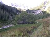 14
14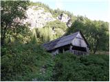 15
15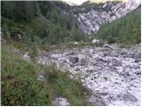 16
16 17
17 18
18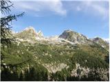 19
19 20
20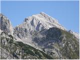 21
21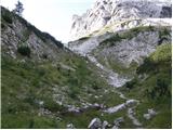 22
22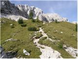 23
23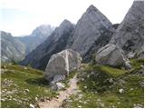 24
24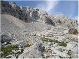 25
25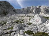 26
26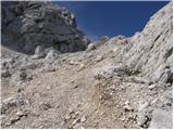 27
27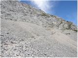 28
28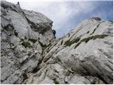 29
29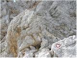 30
30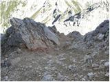 31
31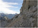 32
32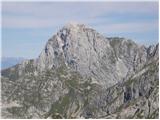 33
33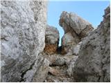 34
34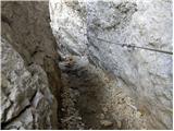 35
35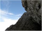 36
36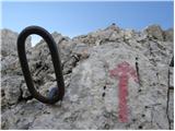 37
37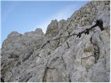 38
38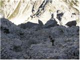 39
39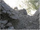 40
40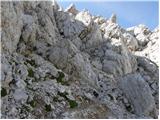 41
41 42
42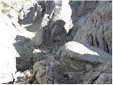 43
43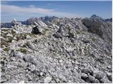 44
44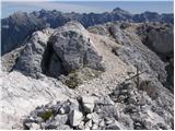 45
45