Zajzera - Viš/Jof Fuart (Gola Nordest)
Starting point: Zajzera (897 m)
Path name: Gola Nordest
Time of walking: 6 h
Difficulty: extremely difficult marked way
Difficulty of skiing: no data
Altitude difference: 1769 m
Altitude difference (by path): 1769 m
Map: Julijske Alpe - zahodni del 1:50.000
Access to starting point:
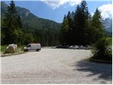
Over the border crossing Predel or Rateče we drive to Trbiž / Tarvisio. Further, we drive on the old road towards Videm / Udine. Already after few kilometers from Trbiž / Tarvisio, the road into Ovčja vas / Valbruna branches off to the left. In Ovča vas / Valbruna we turn left and follow the road ahead through the valley Zajzera upwards. After few kilometers of driving, we come to a crossroad at the bridge above the road (at the second bridge). Here we turn left in the direction of marks for Svete Višarje / Monte Lussari and then already after few meters of driving, we turn right on a large parking lot where we park.
Path description:
At the end of the parking lot, we go on a cart track which after few ten meters joins the road. We continue left over a bridge and we follow the road to a crossroad where we go right following the signs »616 Rifugio Pellarini«. For some time we then walk by the river and we soon join mountain road. We continue left on the mountain road on which we are then long time ascending. All the time of walking on the road we follow the signs for path 616 and mountain hut Rifugio Pellarini.
At approximately half of an ascent on the road very demanding path on Mali Nabojs (Piccolo Nabois) branches off to the right. We continue on the road all the way to the end, where there is a bottom station of a cargo cableway. We continue slightly right on a cart track which quickly passes into a footpath. The path then turns to the left and starts ascending on a little steeper slope below the cableway. We are ascending mostly through the forest towards the east, occasionally also a nice view opens up on surrounding peaks. Such a path brings us to a marked crossing where we continue right following the signs Rif. Pellarini (20 min), left leads the path 617 on Svete Višarje (4 hours).
The path further soon brings us out of the forest on the scree from where a very nice view opens up towards Viš. Here the path turns to the right and follows the last ascent to the hut Pellarini. From the mountain hut, we continue on the path 616, which already after few ten meters brings us to a crossing. We continue right following the signs Sella Nabois (notch Škrbina Nabojsa), left leads the path towards the notch Žabniška škrbina (Sella Carnizza). The path then leads us through wide riverbed of a torrent on the right side of the valley, where we soon come to new crossing. We continue straight following the signs Grande Nabois via normale, and right leads ridge path on Veliki Nabojs.
We continue ascending on the right side of the valley past rarer dwarf pines and larches. The path then brings us to another crossing where caption on rock »NE Gola« points us left, right leads the path ahead towards the notch Škrbina Nabojsa.
Red dots then lead over the scree towards northeastern gully of Viš, which is visible already from far. In the lower part the gully is divided into two parts. We go towards the right and we ascend on the scree by snow field upwards. Snow here usually lasts through entire year and that is why we also need appropriate winter equipment. And on the path further there is also mandatory to use a helmet and self belaying. We cross the snow field towards a well visible ledge in a wall of Mali Viš (thats how it is called the rocky outside corner, which divides gully on two parts). The path on a slightly exposed ledge then brings us on the eastern side of Mali Viš, turns to the right and it brings us to the entry of a climbing part of the path. Here we ascend with the help of steel cables on a very steep groove. In the upper part we climb from groove on the left side and for some time we are then steeply ascending by the steel cable. Climbing on this part is very demanding, and we also have to take into account, that distance between spikes on which steel cable is attached is very long, which means that in spite of using self belaying the fall is quite dangerous. Further a little less demanding path turns to the right and then on a ridge brings us to the entrance into a gully. We are then ascending through the gully over numerous rocks and boulders. On some harder parts there is also a steel cable for help. The most difficult is the ascent over a high chimney, which is in the upper part also slightly overhung. Ascent over the chimney is otherwise well-secured with a steel cable, and we also get help from some iron spikes. Further, the path soon turns to the left and is then ascending on the left side of the gully upwards. On this part of the path quite some caution is needed, because the path is only on rare spots secured. In the upper part path turns to the right and on a narrow ledge with the help of some steel cables from the gully brings us on a grassy slope named Božje police (God's ledges).
For a short time, we still cross a grassy slope, and then the path turns to the left and very steeply ascends on unsecured groove upwards. When we climb steep groove in which is otherwise a lot of good holds, which make climbing easier, we come on a little less steep slopes on the eastern side of Viš.
The path further turns slightly to the right and is ascending on a slope, which is a little less steep but because of unbeaten path and crumbly gravel it is quite dangerous for slipping. When we get closer to southeastern ridge on which leads normal path on Viš, the path turns a little to the right and also with the help of some steel cables ascends towards smaller notch from which a view opens up towards the northwest. At the notch we turn to the left and then follows crossing on a narrow ledge to a crossing where we join the normal path on Viš.
Here we continue right and then follows only few minutes of less demanding ascent to a very panoramic summit.
For the descent it is most recommended, that we organize transport from Nevejski preval and we descend past the mountain hut Corsi into a valley.
If we have to return on the same starting point, then all the paths are more demanding and longer. Shortest but also most difficult is in this case descent on the ascent route.
The second option is that we choose the path Anita Goitan to the notch Trbiška škrbinica. From the notch Trbiška škrbinica we then do not descend into a gully, which is closed and extremely dangerous (marked with the caption »NO«), but we continue forward on a marked path and we stick to marks »R. Pellarini«.
To the starting point, we can descend also through notch Škrbina prednje Špranje and bivouac Mazzeni.
Pictures:
 1
1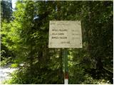 2
2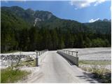 3
3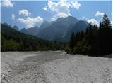 4
4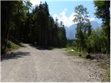 5
5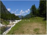 6
6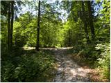 7
7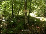 8
8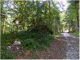 9
9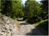 10
10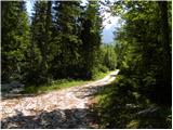 11
11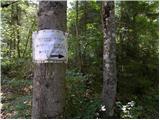 12
12 13
13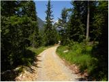 14
14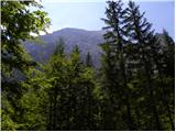 15
15 16
16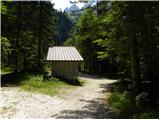 17
17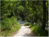 18
18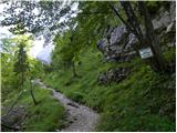 19
19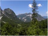 20
20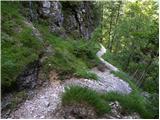 21
21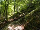 22
22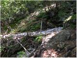 23
23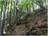 24
24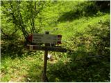 25
25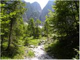 26
26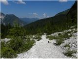 27
27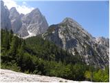 28
28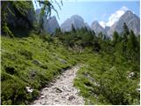 29
29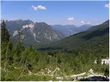 30
30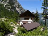 31
31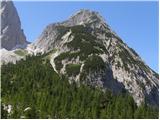 32
32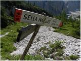 33
33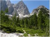 34
34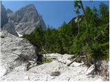 35
35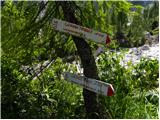 36
36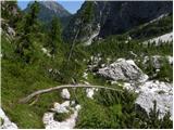 37
37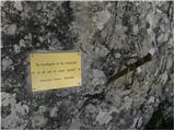 38
38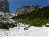 39
39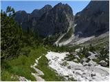 40
40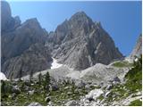 41
41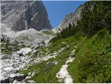 42
42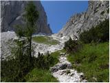 43
43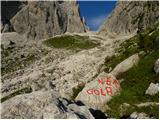 44
44 45
45 46
46 47
47 48
48 49
49 50
50 51
51 52
52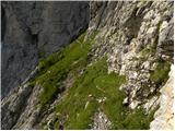 53
53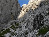 54
54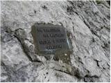 55
55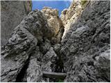 56
56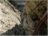 57
57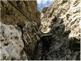 58
58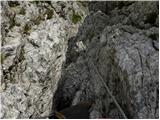 59
59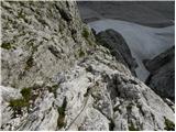 60
60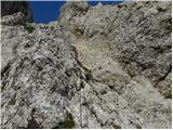 61
61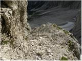 62
62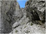 63
63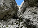 64
64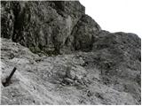 65
65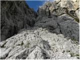 66
66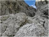 67
67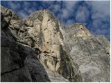 68
68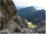 69
69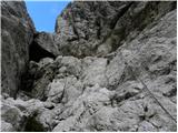 70
70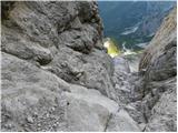 71
71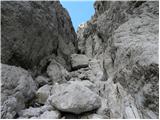 72
72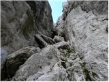 73
73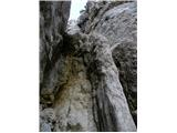 74
74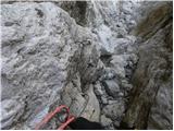 75
75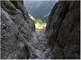 76
76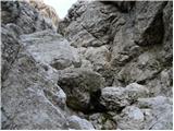 77
77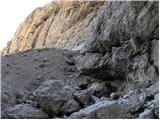 78
78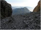 79
79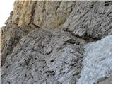 80
80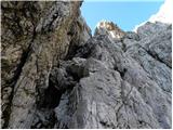 81
81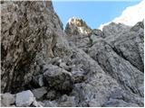 82
82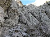 83
83 84
84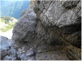 85
85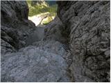 86
86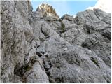 87
87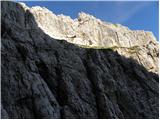 88
88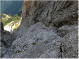 89
89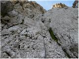 90
90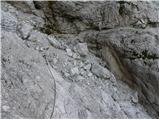 91
91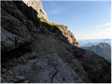 92
92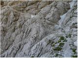 93
93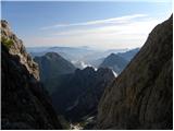 94
94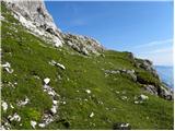 95
95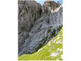 96
96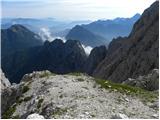 97
97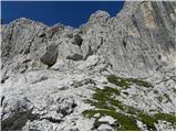 98
98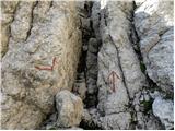 99
99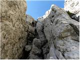 100
100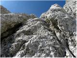 101
101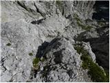 102
102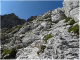 103
103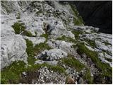 104
104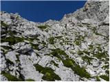 105
105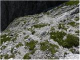 106
106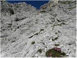 107
107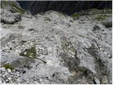 108
108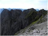 109
109 110
110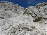 111
111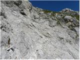 112
112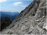 113
113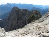 114
114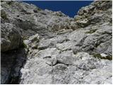 115
115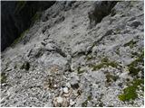 116
116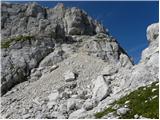 117
117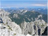 118
118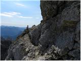 119
119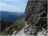 120
120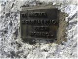 121
121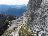 122
122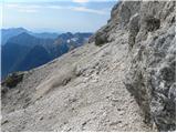 123
123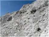 124
124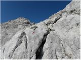 125
125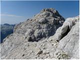 126
126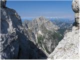 127
127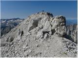 128
128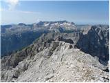 129
129 130
130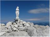 131
131