Zauchen - Hochobir (Ojstrc) (via Kunetov graben)
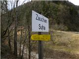
Starting point: Zauchen (509 m)
Starting point Lat/Lon: 46.5199°N 14.5756°E 
Path name: via Kunetov graben
Time of walking: 5 h 5 min
Difficulty: easy marked way
Difficulty of skiing: no data
Altitude difference: 1630 m
Altitude difference (by path): 1650 m
Map: Karavanke - osrednji del 1:50.000
Access to starting point:
A) From the Ljubljana - Jesenice highway we head to the Kranj - east exit and follow the road ahead in the direction of Jezersko. From Zgornje Jezersko we continue driving through the alpine pass Jezerski vrh to Železna Kapla / Bad Eisenkappel and further through the valley of the river Bela to the settlement Suha / Zauchen. Here at the intersection by the bus stop we turn left onto a narrow local road, alongside which we park a few 10 meters higher.
B) From Štajerska we first drive to Mozirje, then continue driving towards Logarska dolina and later Pavličevo sedlo. From Pavličevo sedlo we descend to Bela / Bad Vellach, then continue driving towards Železna Kapla / Bad Eisenkappel and further through the valley of the river Bela to the settlement Suha / Zauchen. Here at the intersection by the bus stop we turn left onto a narrow local road, alongside which we park a few 10 meters higher.
Path description:
From the starting point, we continue along the road alongside which we parked, but it loses its asphalt surface beyond the hamlet. We continue for some time along the relatively wide road, then in the middle of the right serpentine we notice signs for "Hochobir", which direct us left onto a poor abandoned macadam road. We continue along the mentioned road, which moderately ascends through the valley of Kunetov graben. The path along which we ascend is exposed to falling rocks at several points, and in winter to snow avalanches. Higher up, the road moves somewhat away from the stream bed, and if we pay attention, we will notice a walled "entrance" to the mine on the left side of the road (the real entrance is on the other side of the hill). Somewhat further from the mine, the path returns to the stream bed, then the road widens and brings us to a marked intersection, where we continue left (right Grabštajnska planina). We continue along the road, from which the first view of Ojstrc opens up, and it brings us only a little higher to the next intersection, beside which we notice a hunting observatory. Here we continue right and follow the road only a few steps, then the markers direct us left into the forest onto a marked footpath, which begins to ascend moderately through the forest. Higher up, the path leads us across a clearing, returns to the forest above it, and then joins a poorer forest road, which we follow to the right. Along the mentioned road we walk only a few meters, then continue left onto a footpath, which first ascends moderately, then steeply through the forest. Higher up, the path levels out and brings us from the forest to the mountain pasture Zgornja Šefnarca. We walk across the mentioned mountain pasture and the path brings us to a road, where the path through Božičev graben joins from the left.
We continue along the marked cart track in the direction of "Eisenkappler Hütte", which after a few minutes of further walking brings us to the panoramic saddle Počula, at the edge of which stands a chapel.
Right of the chapel the path goes into the forest and begins to ascend moderately to steeply. After a few minutes the steepness eases and the path brings us to the grazing areas of the mountain pasture Na jezercah. Here we continue somewhat to the right, then, when the view also opens towards Košuta, the path begins to descend moderately along a wide cart track. After a few minutes of descent we arrive at Kapelška koča / Eisenkappler Hütte.
From the hut we continue along the marked path in the direction of the summit Ojstrc / Hochobir. The path soon goes above the hut into the forest, through which it then ascends for some time. Higher up, the path, alongside which we notice a large number of educational natural history boards, levels out and brings us from the forest into the belt of dwarf pines. A few more minutes of easy walking follow, and the path brings us to benches on the panoramic summit Kraguljše.
From Kraguljše, from which a nice view of Ojstrc opens up, the path first descends slightly, then past a smaller watering place for animals brings us to a spacious ridge. When we step onto the ridge, the wide marked path turns left and then ascends transversely to the left. After a short ascent we arrive at the saddle "Kalte Quelle", and the path then continues transversely ascending to the left for some time. Higher up the path turns right and climbs along the edge of a smaller valley to the ruins of the former hut at 2040 m (Rainer Schutzhaus). The path ahead climbs to a smaller saddle in the main ridge of Obirja, where the path from the saddle Šajda / Zell - Schaida joins from the left, and we continue right and along and beside the increasingly panoramic ridge, which is especially dangerous for slipping in snow, we ascend to the 2139 m high summit.
On the way: Planina Zgornja Šefnarca (1415m), Počula (1461m), Na Jezercah (1580m), Eisenkappler Hutte (1553m),
Kraguljše (1828m), Rainer Schutz Hütte (2040m)
Pictures:
 1
1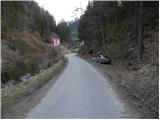 2
2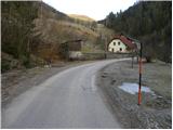 3
3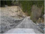 4
4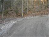 5
5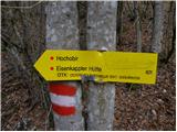 6
6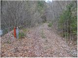 7
7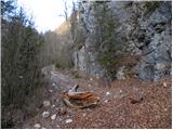 8
8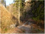 9
9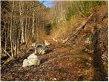 10
10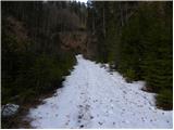 11
11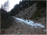 12
12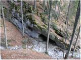 13
13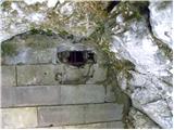 14
14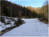 15
15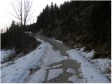 16
16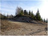 17
17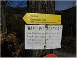 18
18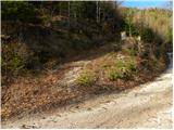 19
19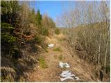 20
20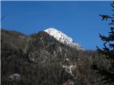 21
21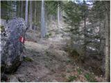 22
22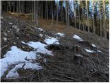 23
23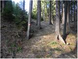 24
24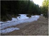 25
25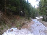 26
26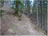 27
27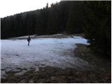 28
28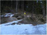 29
29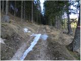 30
30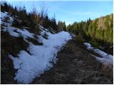 31
31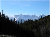 32
32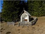 33
33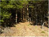 34
34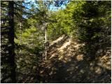 35
35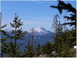 36
36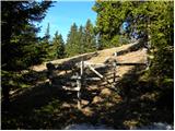 37
37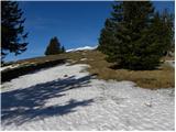 38
38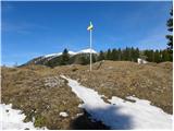 39
39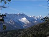 40
40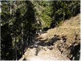 41
41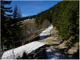 42
42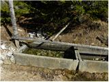 43
43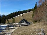 44
44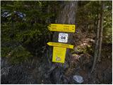 45
45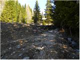 46
46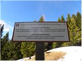 47
47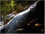 48
48 49
49 50
50 51
51 52
52 53
53 54
54 55
55 56
56 57
57 58
58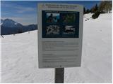 59
59 60
60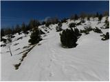 61
61 62
62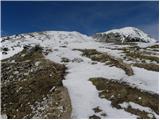 63
63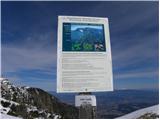 64
64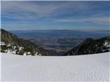 65
65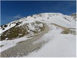 66
66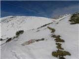 67
67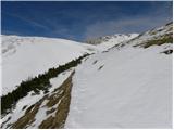 68
68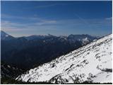 69
69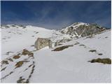 70
70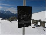 71
71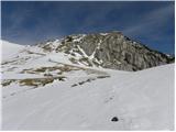 72
72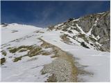 73
73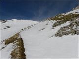 74
74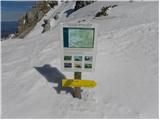 75
75 76
76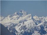 77
77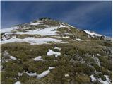 78
78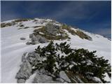 79
79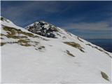 80
80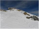 81
81 82
82 83
83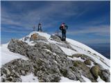 84
84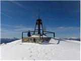 85
85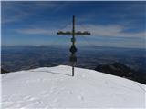 86
86 87
87