Zelenjak (Mihanovićev dol) - Cesargradska gora
Starting point: Zelenjak (Mihanovićev dol) (180 m)
Time of walking: 1 h
Difficulty: easy marked way
Difficulty of skiing: easily
Altitude difference: 329 m
Altitude difference (by path): 329 m
Map:
Access to starting point:
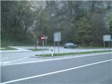
A) To Croatia we come through the border crossing Bistica ob Sotli / Razvor. We go in the direction of the settlement Klanjec and we drive through the settlements Kumrovec and Risvica. In the gorge of the river Sotla, which is called Zelenjak we will notice a memorial, which is a monument of Croatian anthem and next to it, there is a smaller parking lot, where we can leave the car
B) To Croatia we get to through the border crossing Orešje na Bizeljskem / Klanjec and we continue in the direction of the settlement Kumrovec through the gorge of the river Sotla to Zelenjak and a smaller parking lot
c) Highway Macelj-Krapina-Zagreb we leave at exit Zabok and we drive ahead in the direction of the settlement Klanjec, Kumrovec until we get to Zelenjak.
Path description:
The beginning of the path is in the gorge of the river Sotla, which is called Zelenjak. Here, Antun Mihanović supposed to got his inspiration for Croatian anthem "Lijepa naša domovino". At the big monument there is also the beginning of our path.
At the beginning we will go in the direction of the settlement Tuhelj and we will walk on asphalt. We soon get to the next crossing and we go into the village Podgora, where we will leave the asphalt and go into the forest.
The path is at the beginning quite steep, and then it flattens. After the gentle part, we come into a lane of bushes, where the path again becomes pretty steep and in the rain mainly at the descent quite slippery.
Higher, we get to a wider forest cart track and we turn right towards the west. The path is gently ascending and is becoming narrower. When we come to a sharp turn to the left, the path will bring us on steep western slopes. Through treetops we will also notice neighbouring Kunšperk, and the path again becomes steeper.
Further, we will by the path notice a hunting observatory, where there is a poorly visible turn-off towards the nearby source.
After the turn-off, we quickly get to a transport road and few meters further we are at the mountain hut, which is open on Sundays and is supplied only with beverages, and inside it is also possible to spend the night.
If from the mountain hut, we continue towards the north we are in few minutes at interesting fort Cesargrad, which is unfortunately decaying.
For the peak we go from the mountain hut in a long right turn towards the south. The path leads us on a wider cart track gently through the forest to the top.
On the top there is a big transmitter. A view is limited to northeast.
Pictures:
 1
1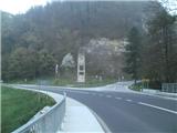 2
2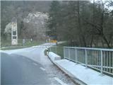 3
3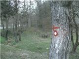 4
4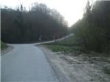 5
5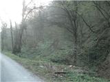 6
6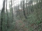 7
7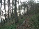 8
8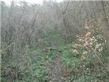 9
9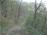 10
10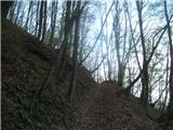 11
11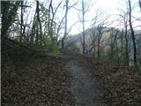 12
12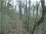 13
13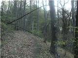 14
14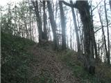 15
15 16
16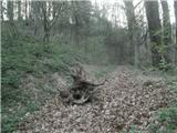 17
17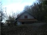 18
18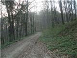 19
19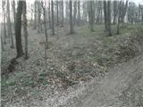 20
20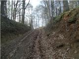 21
21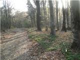 22
22 23
23 24
24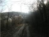 25
25 26
26 27
27