Železna vrata - Stjenkova koča on Trstelj
Starting point: Železna vrata (445 m)
Starting point Lat/Lon: 45.8635°N 13.7184°E 
Time of walking: 30 min
Difficulty: easy marked way
Difficulty of skiing: no data
Altitude difference: 165 m
Altitude difference (by path): 165 m
Map: Goriška - izletniška karta 1:50.000
Access to starting point:
A) From highway Razdrto - Vrtojba we go to the exit Selo, and then we continue driving towards Selo, Batuje and Dornberk. In Dornberk we continue left in the direction of Branik, after that only a little further right in the direction of Trstelj. Further, we drive on an ascending road, on which we drive to a saddle Železna vrata, where on an appropriate place we park.
B) From Nova Gorica or its surroundings we drive to Dornberk, and from there we continue driving right in the direction of Trstelj. Further, we drive on an ascending road, on which we drive to a saddle Železna vrata, where on an appropriate place we park.
C) First, we drive to Sežana, and from there we continue driving towards Komen. From Komen we drive towards the village Škrbina and hamlet Šibelji, after that towards Dornberk. The road towards Dornberk we follow only to a saddle Železna vrata, where we park on an appropriate place.
Path description:
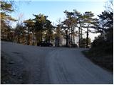
From Železna vrata we continue on the macadam road in the direction of Trstelj, and we walk there to the power line. Immediately after the power line we leave the road and we continue the ascent left on a marked path which starts ascending steeper. After few minutes, the path flattens and passes on panoramic and relatively gentle shady slopes. The path quickly returns into the forest and from the right the path from Renče joins.
We continue left in the direction of the mountain hut, on the path which soon splits into two parts. We continue slightly right on a marked shortcut, and then we join a worse forest road which we follow to the nearby mountain hut Stjenkova koča on Trstelj.
Pictures:
 1
1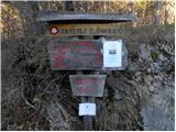 2
2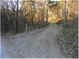 3
3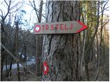 4
4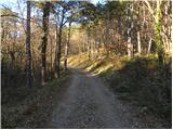 5
5 6
6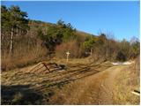 7
7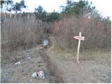 8
8 9
9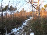 10
10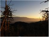 11
11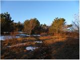 12
12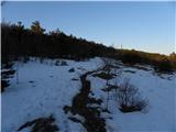 13
13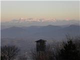 14
14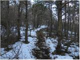 15
15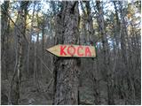 16
16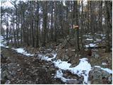 17
17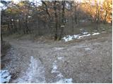 18
18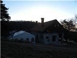 19
19