Zettersfeld - Neualplseen (Goiselemandlweg Nord)
Starting point: Zettersfeld (1860 m)
Starting point Lat/Lon: 46.8678°N 12.78353°E 
Path name: Goiselemandlweg Nord
Time of walking: 2 h
Difficulty: easy marked way
Difficulty of skiing: no data
Altitude difference: 578 m
Altitude difference (by path): 600 m
Map:
Access to starting point:
Through the Karawanks Tunnel, we drive to Austria, and then we continue driving towards Spittal and forward towards Lienz (a little after Spittal highway ends). Further, we drive on a relatively nice and wide road through Drau valley. In the center of Lienz, at the roundabout, we continue right towards the settlement Matrei. Already after few hundred metrers after the roundabout we continue sharply right and then left over a bridge towards the settlement Thurn. Further, we all the time follow green signs »Zettersfeld Zentrum«. A little before the ski center, when the road starts descending we will on the left side of the road notice a macadam road which leads towards the ski slope and is closed for traffic. By the road are also yellow signposts. We park on one of the smaller parking lots nearby. A little further on the main road there is also a larger parking lot.
Path description:
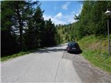
From the starting point, we go on a macadam road (path 9b) following the signs »Steinermandl«. The road which is closed for traffic is ascending towards the east and brings us on a ski slope where we soon come to a crossroad.
We continue left following the signs »Steinermandl« and we are then for some time ascending below the chairlift, which runs towards the summit Steinermandl. The road later turns left and it ascends a little steeper. From the path, we have otherwise all the time a very nice view towards Lienz Dolomites and settlement Lienz. The road then becomes less steep and leads us past a large artificial lake, which is intended for snowmaking. Here the road turns slightly to the right and it brings us to a marked crossing.
Ahead on the road leads the path towards the summit Steinermandl and the upper chairlift station. We continue left upwards on a footpath which starts ascending on a grassy slope. Higher when the slope becomes less steep we come again to a crossing.
From the right joins the path from the upper station of a chairlift, left leads the western path towards Goiselemandl and western path towards the lake Neualplseen, and we continue straight following the signs »Goiselemandlweg Nord«. The path from the crossing crosses grassy slopes towards the northeast and it brings us to a crossing where from the right joins also the second path from the upper station of a chairlift. From the path, we have here a nice view towards the peaks above the valley Debanttal, and by the path, there are also benches.
At the mentioned crossing, we continue left and we cross slopes on the eastern side of the peak Goiselemandl. Later, the path crosses the fence and slightly descends below the steep northern slopes of Goiselemandl. Further, the path again brings us on more grassy terrain on which we are then slightly ascending all the way to lakes Neualplseen. Around the lakes leads also a nice panoramic path.
Pictures:
 1
1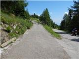 2
2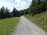 3
3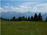 4
4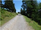 5
5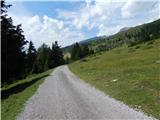 6
6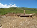 7
7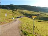 8
8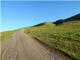 9
9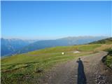 10
10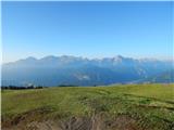 11
11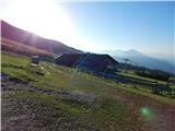 12
12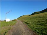 13
13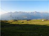 14
14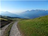 15
15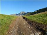 16
16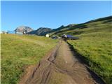 17
17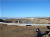 18
18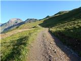 19
19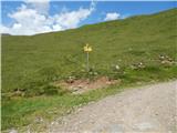 20
20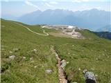 21
21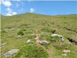 22
22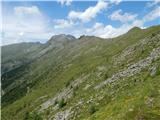 23
23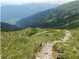 24
24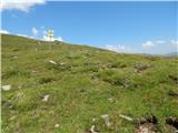 25
25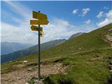 26
26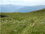 27
27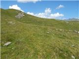 28
28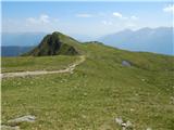 29
29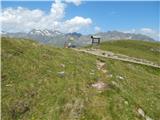 30
30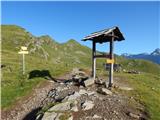 31
31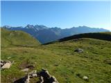 32
32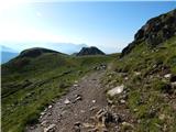 33
33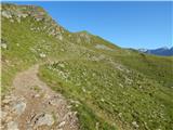 34
34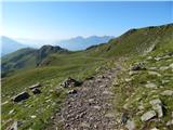 35
35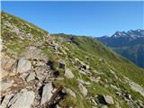 36
36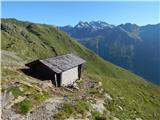 37
37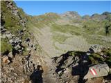 38
38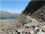 39
39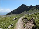 40
40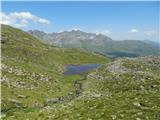 41
41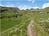 42
42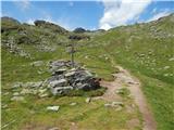 43
43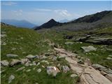 44
44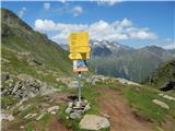 45
45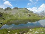 46
46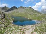 47
47