Zgornja Bistrica - Sveti Trije kralji (via Bistriški vintgar)
Starting point: Zgornja Bistrica (375 m)
Path name: via Bistriški vintgar
Time of walking: 3 h
Difficulty: easy marked way
Difficulty of skiing: no data
Altitude difference: 806 m
Altitude difference (by path): 820 m
Map: Pohorje 1:50.000
Access to starting point:
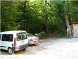
From the highway we go to the exit Slovenska Bistrica-jug, and then through a roundabout to a crossroad of old road Maribor-Celje, where we turn right to the center of Slovenska Bistrica (approx 600 meters), where at the traffic lights by the church we turn left. We mostly drive straight, right past the factory Impol (roundabout – second exit), through the bridge over Bistrica, at the all further crossroads we go straight, through the field to the end of the road at the water plant, where we park the car. From the center of Slovenska Bistrica a little less than 4 km.
Path description:
From the parking lot, we go into the forest, where at first a wide and gentle path runs on the left bank of Bistrica, which we then cross through a metal footbridge. We walk along Bistrica and we are slowly ascending, we soon get to a signpost for Roman quarry, in which in the time of Roman Empire extracting white marble for artistic creations. (""" To view the quarry we turn right over the footbridge, after few minutes we are there, we return on the same path). The path is becoming steeper, and eventually Bistrica is already deeply below us. Signpost warns on natural sight, namely 20 meters high tiered waterfall Šum, we continue straight. (""" To view waterfall Šum we choose the right narrow path which leads us downwards to the waterfall, from there we continue left uphill, until we again join the main path, this extends the path for approximately 20 minutes).
When we continue we get to a signpost for Ančnikovo gradišče, and we turn right through a wooden footbridge over tributary of Bistrica, through wetlands and then through a metal footbridge on the left bank of Bistrica. Further, the path becomes steeper, we admire rapids and waterfalls of Bistrica, by the path, we several times notice remains of sawmills and mills, there are also some benches to rest. We also get to an exposed spot, which we have to carefully cross.
In the upper part, the path becomes less steep and still runs along Bistrica, which gets a little slower, at the crossroad we bypass an old mill on the right side and we follow the signs. Through trees on the left side we notice a larger clearing, the path again turns into the forest, where we can view fir tree Maroltova jelka, which is unfortunately already quite decayed. Further, the path for the first time comes out of the forest on a plain, where on the left side we cross a larger meadow to a macadam road, where we turn left over a bridge and immediately after this at the next crossroad we go right. We are below Močnik, 2/3 of the path is behind us. After 200 meters of walking on the road we turn right (we need to pay attention to a poorly visible signpost on a power line pole on the left side of the road), into the forest, we go left and in a moderate steepness we continue on a well visible path. In between we once cross the asphalt road, a little before the end of the path, from the left joins the path from Veliko Tinje.
Pictures:
 1
1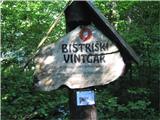 2
2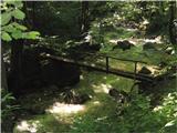 3
3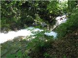 4
4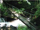 5
5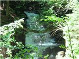 6
6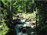 7
7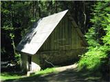 8
8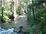 9
9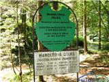 10
10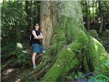 11
11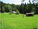 12
12 13
13