Zgornja Kostrivnica - Boč (via Koča Velikonočnica)
Starting point: Zgornja Kostrivnica (297 m)
Starting point Lat/Lon: 46.26147°N 15.59192°E 
Path name: via Koča Velikonočnica
Time of walking: 2 h
Difficulty: easy marked way
Difficulty of skiing: no data
Altitude difference: 681 m
Altitude difference (by path): 700 m
Map:
Access to starting point:
We leave the Štajerska motorway at the junction Slovenska Bistrica-Jug, from where we follow the signs for Poljčane. These direct us out of the town, from where we continuously follow the main road in the direction of Boč, which is already clearly visible from here. Through Zgornje Poljčane we do not turn towards Boč, but continue in the direction of Rogaška Slatina and cross the Pečica pass. When we descend from Pečica, we continue straight on the main road until we reach the settlement Podplat. There, already before the main crossroads at the smaller crossroads by the sign for Kostrivnica, we turn left and continue on the smaller local road. Soon this road brings us to the settlement Kostrivnica or Zgornja Kostrivnica, which we recognise by the church on the hill. Then we park in a suitable place, for example in front of the church or by the small store and inn in the centre of the settlement.
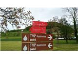
Path description:
In the center of the settlement at the crossroads a mountain signpost awaits us, which directs us to Boč both left and right. We choose the left direction (Gabrovec pri Kostrivnici) and continue on the asphalt road. Soon we come to a crossroads, where we turn left, despite the road sign Boč directing right. Then we arrive at the hamlet Gabrovec pri Kostrivnici, where already at the beginning a mountain sign directs us right uphill (Direction Drevenik). We follow the asphalt road, which is at first quite level, then starts to ascend steeper and steeper. We follow the road through the forest. After exiting the forest we arrive at a sharp bend, where the mark on the building directs us left. With some luck we can spot several deer behind the fence, as it is an enclosure. At the end of the sharp bend we briefly leave the road and turn right along the fence into the forest. There a sign "Pot na Boč" greets us, past which we continue left up the steps. At the end of the steps we reach the asphalt road again and continue right uphill. Then we always follow the road, which becomes steeper and steeper. Soon we arrive at a sharp bend below the mighty rocky wall, where the inscription warns us that we are approaching the Koča Velikonočnica. We continue to follow the asphalt road past several weekend houses and vineyards. The road narrows a little towards the end and just before Koča Velikonočnica in a sharp right bend turns into macadam. We have arrived at the hut, in which on Sundays we can stop for a snack and drink, otherwise it is closed.
Past the hut we continue straight into the forest on a forest path. This leads us past more weekend houses and through the forest and gradually turns into an ever wider macadam road. Soon we arrive at the pasque flower site on the meadows below Boč. Past the sites we continue right and arrive at the Planinski dom na Boču.
From the hut past the outdoor bar we continue on a well-visible path into the forest, which immediately takes us to a crossroads, after which we continue right and along the road follow a well-visible path which takes us to a crossroads where the asphalt road meets the macadam path to Donačka gora. Here we turn left into the forest onto the Senčna pot. The path immediately changes from macadam into a wide hiking path, which first ascends gently, then steeper and steeper. After a few minutes of walking we reach a section where the path becomes steeper and ascends in zigzags. Here there are quite a few shortcuts, so we must stick to the marks. On this section there are also quite a few fallen trees, so extra caution is needed. Among the trees the path continues to lead us in zigzags to a smaller ridge, where we turn left and continue on a path which flattens slightly. The path continuously pulls us slightly right until we reach a natural tunnel of young trees, after it we turn left and climb to the summit ridge of Boč. Here we turn left again and head along the top of the ridge on a well-visible path, which is very rocky, so caution is needed here. After a few minutes we arrive at the lookout tower on the top of Boč.
Pictures:
 1
1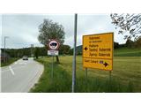 2
2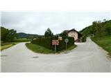 3
3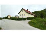 4
4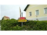 5
5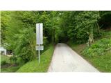 6
6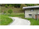 7
7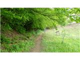 8
8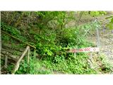 9
9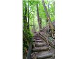 10
10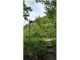 11
11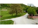 12
12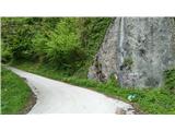 13
13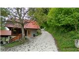 14
14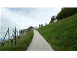 15
15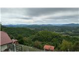 16
16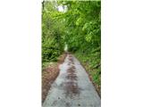 17
17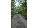 18
18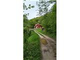 19
19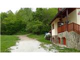 20
20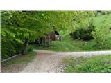 21
21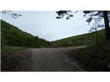 22
22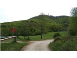 23
23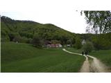 24
24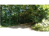 25
25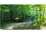 26
26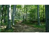 27
27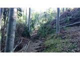 28
28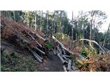 29
29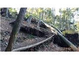 30
30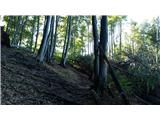 31
31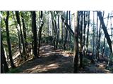 32
32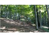 33
33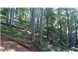 34
34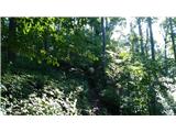 35
35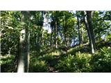 36
36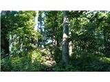 37
37 38
38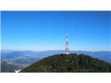 39
39