Starting point: Zgornja Kungota (299 m)
Starting point Lat/Lon: 46.63858°N 15.61185°E 
Time of walking: 35 min
Difficulty: easy marked way
Difficulty of skiing: no data
Altitude difference: 122 m
Altitude difference (by path): 125 m
Map:
Access to starting point:
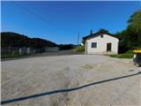
We drive to the roundabout Pesnica and we go to the exit for Lenart. The road towards Lenart v Slovenskih goricah we quickly leave and we continue right in the direction of Zgornja Kungota and Dolnja Počehova, and still before the highway, we go once again right in the direction of Zgornja Kungota. Further, we drive on the main road to Zgornja Kungota, where in the middle of the settlement, we turn right uphill towards the cemetery, where we park.
Path description:
From the parking lot at the cemetery we continue on the road towards the nearby church of St. Kunigunda, where first blazes show up.
Here to the left downwards a marked path branches off towards Sveti Urban, and we go right and we continue on the asphalt road. On the road, we are at first ascending, and from the path, a view opens up towards Zgornja Kungota and higher Plački vrh, and higher we for some time descend a little, and the path leads us past occasional houses. Next follow few smaller crossroads, where we follow the blazes, and then with views which for some time reach to Golica / Koralpe we get to indistinct Čajžič, where there is an inscription box.
Description and pictures refer to a condition in August 2022.
Pictures:
 1
1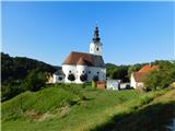 2
2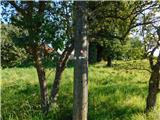 3
3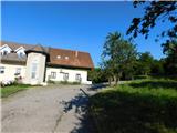 4
4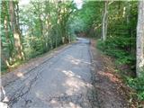 5
5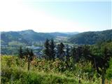 6
6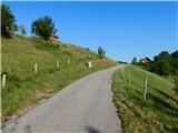 7
7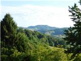 8
8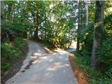 9
9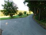 10
10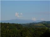 11
11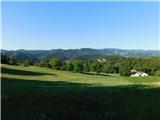 12
12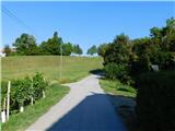 13
13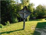 14
14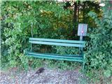 15
15