Zreče (Terme Zreče) - Tourist farm Ančka
Starting point: Zreče (Terme Zreče) (395 m)
Starting point Lat/Lon: 46.37066°N 15.39006°E 
Time of walking: 40 min
Difficulty: easy marked way
Difficulty of skiing: no data
Altitude difference: 65 m
Altitude difference (by path): 75 m
Map: Pohorje 1:50.000
Access to starting point:
We leave Štajerska highway at exit for Slovenske Konjice, and then we follow the signs for Zreče. When we get to Zreče, we park on a parking lot at spa Terme Zreče.
Path description:
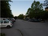
From the parking lot, we go on the road which continues towards the north, and we soon get to a marked crossing, where a marked path branches off to the right towards Gorenje and Rogla, and we still continue on the road or sidewalk. The road, on which we walk in a gentle ascent gradually turns towards the northwest, and after approximately 15 minutes at the chapel we go left on a side road, by which after few steps we notice the first signs for Golek.
At the signs we go right, where we go past few houses, and at the next chapel the path splits.
We continue straight in the direction of tourist farm Ančka and the peak Golek (right - Golek via Bork).
A little further, the settlement ends, and the path ahead leads us by the pasture. At the first crossroad, we go straight, and at the second, before the quarry we go also straight in the direction of tourist farm Ančka. Few minutes ahead we get to the sharp left turn, where there is a parking lot below the tourist farm, and only few 10 strides further we get to tourist farm Ančka.
Description and pictures refer to a condition in June 2022.
Pictures:
 1
1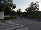 2
2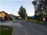 3
3 4
4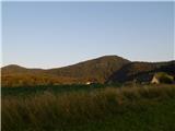 5
5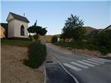 6
6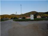 7
7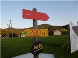 8
8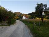 9
9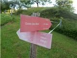 10
10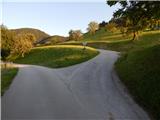 11
11 12
12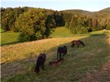 13
13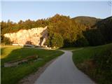 14
14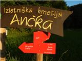 15
15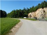 16
16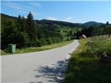 17
17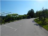 18
18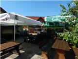 19
19