Srednja vas - Koča na Uskovnici (via Lom)
Starting point: Srednja vas (583 m)
Starting point Lat/Lon: 46.2975°N 13.9231°E 
Path name: via Lom
Time of walking: 1 h 40 min
Difficulty: easy marked way
Difficulty of skiing: easily
Altitude difference: 571 m
Altitude difference (by path): 571 m
Map: Triglav 1:25.000
Access to starting point:
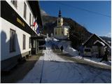
From highway Ljubljana - Jesenice we go to the exit Lesce and follow the road towards Bled and forward towards Bohinjska Bistrica. Only a little before Bohinjska Bistrica, at settlement Bitnje, we continue sharply right in the direction of Pokljuka. After a short ascent the road flattens and it quickly brings us into a valley Zgornja Bohinjska dolina. Here at the crossroad we continue left (right Pokljuka) and follow a road ahead to Srednja vas. Here in the second part of the village we notice signs for the church of St Martin, which point us to the right on narrower and quite steep road, on which then we quickly get to the church and primary school. We park on an appropriate place by the school or church.
Path description:
Left from the primary school (looking from below upwards) we will notice a wide moderately steep cart track which after few 10 strides of walking, it brings us to a water catchment. Here is located already from a school seen sign "Uskovnica", which tells us, that we are on the right path. Cart track then passes into a lane of a forest and for a short time steeply ascends. The steepness soon decreases, because cart track brings us on a wide macadam road which we follow to the right. From the road then soon a marked cart track on which we continue the ascent branches off to the right. The mentioned cart track higher few more times crosses a mentioned road, when the slope on which we walk flattens, we continue the ascent on the already mentioned macadam road. Relatively gentle road, then brings us to a parking lot Lom, and we continue on for public traffic closed forest road which only a little further brings us to the marked crossroad. We continue right in the direction of the mountain hut Koča na Uskovnici (straight Uskovnica) on a little more steep road, on which in 15 minutes of additional walking, we ascend to the already mentioned mountain hut.
From the mountain hut, we can in 5 minutes ascend to the near chapel, from which a beautiful view opens up.
On the way: Lom (1076m)
Trip can be extended to: Planina Zajamniki
,
Planina Konjščica (1 h 10 min)
,
Planina pod Mišelj vrhom (2 h 55 min)
,
Velo polje (3 h 35 min)
,
Vodnikov dom (3 h 20 min)
,
Ablanca
,
Jezerski Stog
,
Viševnik
,
Mali Draški vrh (3 h 15 min)
,
Vernar (4 h 35 min)
,
Veliki Draški vrh
,
Tosc (4 h 5 min)
,
Dom Valentina Staniča
,
Dom Planika (4 h 50 min)
,
Triglavski dom na Kredarici
,
Triglav (6 h 5 min)
Pictures:
 1
1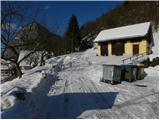 2
2 3
3 4
4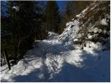 5
5 6
6 7
7 8
8 9
9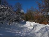 10
10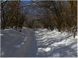 11
11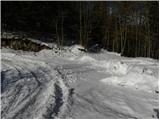 12
12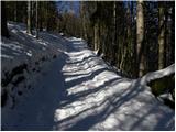 13
13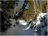 14
14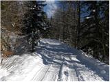 15
15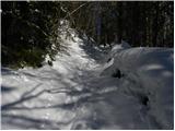 16
16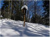 17
17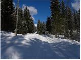 18
18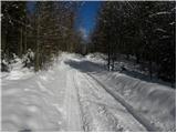 19
19 20
20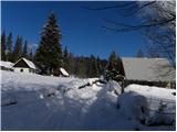 21
21 22
22 23
23 24
24 25
25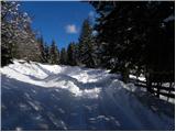 26
26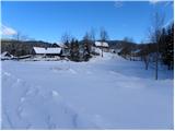 27
27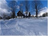 28
28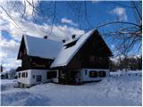 29
29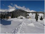 30
30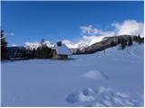 31
31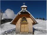 32
32