Strada di Foredor - Veliki Karman / Monte Chiampon
Starting point: Strada di Foredor (968 m)
Starting point Lat/Lon: 46.28275°N 13.17282°E 
Time of walking: 2 h 10 min
Difficulty: partly demanding marked way
Difficulty of skiing: no data
Altitude difference: 745 m
Altitude difference (by path): 790 m
Map: 020 Tabacco - Prealpi del Gemonese
Access to starting point:
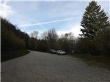
We drive into Humin (italian Gemona del Friuli) in Italy. From Slovenia to Gemona we can come past Kranjska Gora, Trbiž (italian Tarvisio) and highway A23 (following the signs E55-A4-Udine) to exit Gemona-Osoppo. Toll is 6,20 eur (in 2019). Alternative path to Gemona is on Vipava highway into Italy and past Videm (italian Udine) to Gemona. In Humin (italian Gemona del Friuli) we need to find street with signs "Strada di Foredor", which is steeply winding in the eastern direction into slopes towards the mountain hut. Street is the easiest to find by driving with a car through center and then we stick north eastern direction with numerous streets, that are ascending above the town. With height there is less and less streets, until there is only Strada di Foredor. Stradad di Foredor is asphalted, narrow, steep road which in parts has very sharp turns. Encounter cars can be problematic, so we need to remember spots, where it is possible to pass vehicles. We follow the road all the way to first mountain pasture, on which there stand numerous huts. After the mountain pasture there is sharp but wide turn of the macadam road, where we park.
Path description:
The path towards the mountain hut starts at the turn, from where by clearly visible signs path ascends through the forest. After few minutes, the path comes out of the forest on a clearing, from where a view opens up towards steepness of Veliki Karman and upwards on the path towards the mountain hut. Before the mountain hut the path joins the access road which ends at the mountain hut (italian Malga Cuarnan). Parking at the mountain hut isn't allowed.
The path with signs 713 at first bypasses the mountain hut, behind it on a clearing it ascends to the ridge and there left towards the north it descends to a saddle Predol, 1067 meters (italian Sella Foredor). Right ascending path towards the south leads to Mali Karman.
From the saddle, the path past a cross ascends through thinner pine forest, which with altitude soon ends. The path on a steep grassy terrain has nice unproblematic passages, and is winding in zig-zags past steep parts, through the gully all the way to diagonal rocky section, on which with some easy short climbing we reach a smaller cross, from which a nice view opens up to the valley and on alluvium of river Tilment (italian Tagliamento).
In the next sections hiker is awaited by the only steel cables on the path which are intended for belaying over a narrow ridge (passage Prehod Gospodična, Passo della Signorina, 1359 meters). Behind it the path is again steeply winding with occasional smaller rocky jumps, where some short climbing is needed. The path further is easy and reaches a grassy ridge, which leads to the top. On the top there are bell and red metal cross. From here towards the east on the ridge there is winding also the path Alta Via CAI Gemona.
Description of the path and pictures are from 2018 (October).
On the way: Malga Cuarnan (1070m), Sella Foredor (1067m), Passo della Signorina (1359m)
Pictures:
 1
1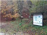 2
2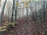 3
3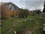 4
4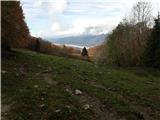 5
5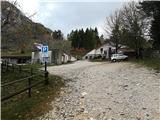 6
6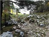 7
7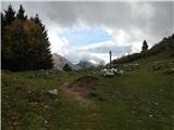 8
8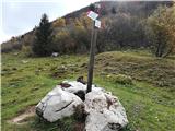 9
9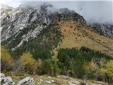 10
10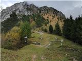 11
11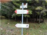 12
12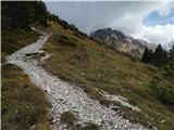 13
13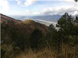 14
14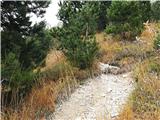 15
15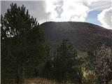 16
16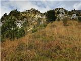 17
17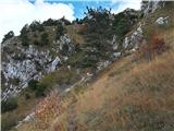 18
18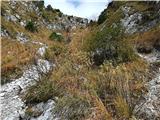 19
19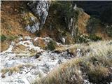 20
20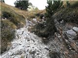 21
21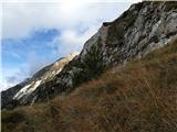 22
22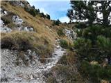 23
23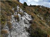 24
24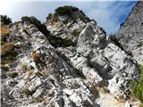 25
25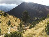 26
26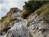 27
27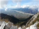 28
28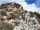 29
29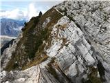 30
30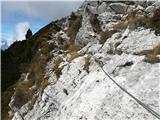 31
31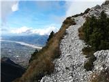 32
32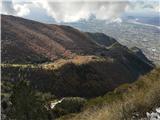 33
33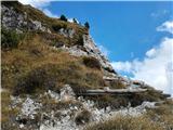 34
34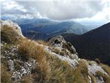 35
35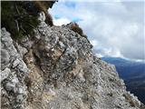 36
36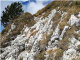 37
37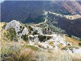 38
38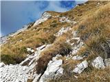 39
39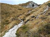 40
40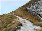 41
41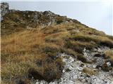 42
42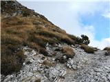 43
43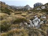 44
44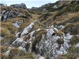 45
45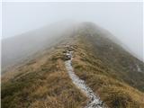 46
46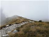 47
47 48
48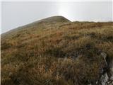 49
49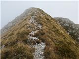 50
50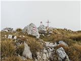 51
51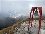 52
52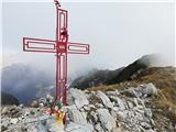 53
53 54
54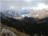 55
55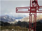 56
56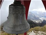 57
57