Uskovnica (Razpotje) - Triglav (via Planika and Mali Triglav)
Starting point: Uskovnica (Razpotje) (1215 m)
Starting point Lat/Lon: 46.3267°N 13.9107°E 
Path name: via Planika and Mali Triglav
Time of walking: 6 h 15 min
Difficulty: very difficult marked way
Difficulty of skiing: more demanding
Altitude difference: 1649 m
Altitude difference (by path): 1900 m
Map: Triglav 1:25.000
Access to starting point:
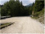
A) We leave Gorenjska highway at exit for Lesce, and then we follow the signs for Bled and Pokljuka. Further, we drive through Gorje and past the ski slope Zatrnik to Rudno polje on Pokljuka, where there is a large payable parking lot, and nearby there are also barracks and shooting range. From here we continue straight on a macadam road which a little further brings us to a crossroad, where we continue left in the direction of Uskovnica (right mountain pasture Konjščica). From here we drive good 500 meters to the former parking lot above Uskovnica. This area is called Razpotje.
Now on the mentioned parking lot it is prohibited to park, so we have to park already on Rudno polje, which extends the path for approximately 35 minutes, or we choose starting point Uskovnica (Lom).
B) From Železniki or Podbrdo we drive to Bohinjska Bistrica, and then we continue driving in the direction of Bled. Soon after Petrol gas station, which is located only a little after Bohinjska Bistrica, we continue driving left in the direction of Pokljuka and Jereka. Further, the road at first steeply ascends, and after Korita gradually flattens and it brings us to a crossroad by bus stop, where we continue right in the direction of Pokljuka, Koprivnik and Jereka (straight Srednja vas). Immediately after the crossroad, we get to Jereka, and from the crossroad in front of the church we continue straight towards Pokljuka (left Podjelje). After Jereka the road again starts ascending steeper, and higher flattens and continues by stream Mrzli potok. When we join the road from Bled we go left and we drive to Rudno polje, where there is a large payable parking lot, and nearby there are also barracks and shooting range. From here we continue straight on a macadam road which a little further brings us to a crossroad, where we continue left in the direction of Uskovnica (right mountain pasture Konjščica). From here we drive good 500 meters to the former parking lot above Uskovnica. This area is called Razpotje.
Now on the mentioned parking lot it is prohibited to park, so we have to park already on Rudno polje, which extends the path for approximately 35 minutes, or we choose starting point Uskovnica (Lom).
Path description:
From closure of the road, we descend about 15 minutes to the mountain pasture Uskovnica. Here stands a chapel and next to it drinking water on Uskovnica. We look for the path which goes towards Vodnikov dom (first, which goes right from the chapel, a wide cart track). The path is otherwise marked and in spite of all because of large number of paths on Uskovnica it is hard to find the beginning of the right path. If we aren't sure it is better to ask someone, if we only have an option. The path slowly leaves the mountain pasture and hides in the forest, where we run into a well. Then we walk on the western slopes of Ablanca, which are in parts pretty steep. We soon come out of the forest, where we cross substantial number of gullies. One is very clumsy passable. Carefully! Immediately after this gully we cross a torrent through which runs water, which in dry periods dries up. The path then becomes easier. Now we already walk below the slopes of Tosc. The path becomes a little steeper and splits into two parts. We go on the right path (left is abandoned). Both paths join after one hour ascent on the path Pokljuka - Triglav, where we turn left. The path ahead crosses the southern slopes of Tosc. The path then in a gentle descent crosses a shorter lane of thin forest and then it brings us on steep slopes. A little further ahead, the path on a carved wide ledge in a gentle descent crosses precipitous slopes of Tosc. Since the path is quite wide it doesn't cause problems (carefully because of falling stones, rockfall in the year 2008). The path then again slightly ascends and it brings us to a crossing, where we continue right in the direction of Vodnikov dom. Next follows approximately ten minutes of walking without large ascents or descents to Vodnikov dom.
From the hut, we continue straight in the direction of Triglav (right upward Bohinjska vratca). The path ahead is moderately ascending and crosses slopes below Vernar. Soon we run into the first steel cable, which helps us pass the short ledge. The path ahead is ascending on the scree and then brings us to a steep rocky jump. A well-secured path on steep stairs brings us to the top of that jump. Next follows few meters of crossing on a steep slope, and then the path brings us on ample slopes near the saddle Konjski preval. We reach it after a short descent.
Further, we continue left in the direction of the mountain hut Dom Planika (straight Kredarica, right Krma). The path ahead is ascending on the scree in hairpin turns to indistinct side ridge. Here the path turns right and on the right side bypasses large karst sinkhole in which snow stays for most of the year. Next follows few minutes of ascent and the path brings us to the mountain hut Dom na Planiki.
At the mountain hut, we go on the path in the direction of Triglav over Mali Triglav. At first gently sloping path at first crosses plain below Triglav, and then it starts ascending steeper and steeper. Further, we are ascending on the path which is in parts covered with thin gravel (slippery sand on the path) to the gully below Mali Triglav. The passage through the gully isn't difficult and is secured. And on the top of the gully a view opens up on the other side into precipice. Ahead more panoramic path with the help of fixed safety gear brings us on an indistinct peak of Mali Triglav from which we slightly descend (here from the right joins the path from Kredarica). Next follows an exposed but very well secured path on the ridge. In the last part, the path steeply ascends and it brings us to Stanič shelter, which is from the path distant 30 meters. To the top steepness decreases and a panoramic path brings us to the top of Triglav, where there stands Aljaž turret.
The starting point - Uskovnica 15 minutes, Uskovnica - Vodnikov dom 3:00, Vodnikov dom - Planika 1:30, Planika - Triglav 1:30.
On the way: Kapelica na Uskovnici (1180m), Vodnikov dom (1817m), Konjski preval (2020m), Dom Planika (2401m),
Mali Triglav (2725m)
Pictures:
 1
1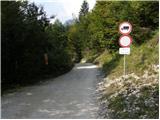 2
2 3
3 4
4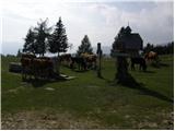 5
5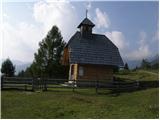 6
6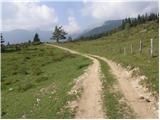 7
7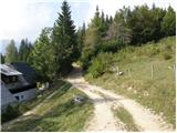 8
8 9
9 10
10 11
11 12
12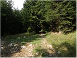 13
13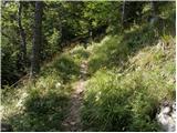 14
14 15
15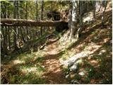 16
16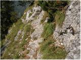 17
17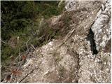 18
18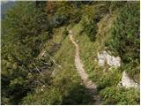 19
19 20
20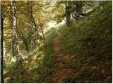 21
21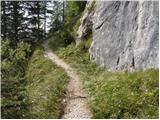 22
22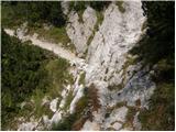 23
23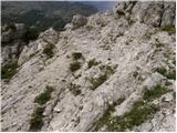 24
24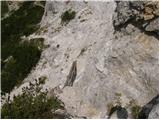 25
25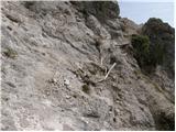 26
26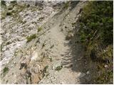 27
27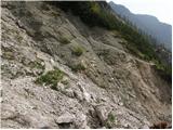 28
28 29
29 30
30 31
31 32
32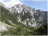 33
33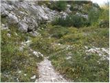 34
34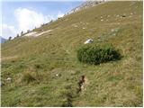 35
35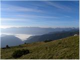 36
36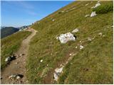 37
37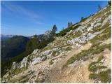 38
38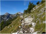 39
39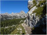 40
40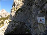 41
41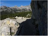 42
42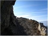 43
43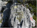 44
44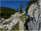 45
45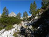 46
46 47
47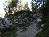 48
48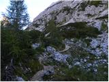 49
49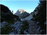 50
50 51
51 52
52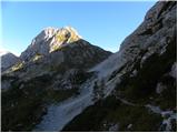 53
53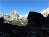 54
54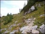 55
55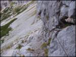 56
56 57
57 58
58 59
59 60
60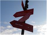 61
61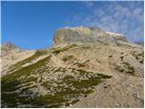 62
62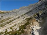 63
63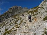 64
64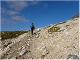 65
65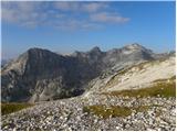 66
66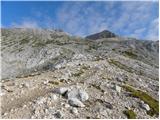 67
67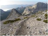 68
68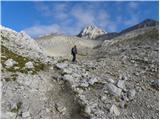 69
69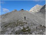 70
70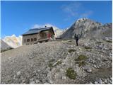 71
71 72
72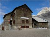 73
73 74
74 75
75 76
76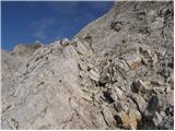 77
77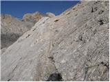 78
78 79
79 80
80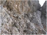 81
81 82
82 83
83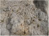 84
84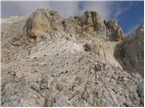 85
85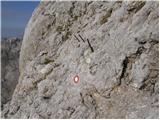 86
86 87
87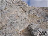 88
88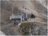 89
89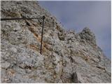 90
90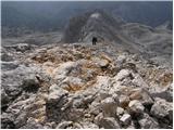 91
91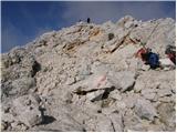 92
92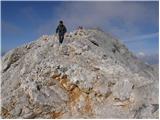 93
93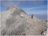 94
94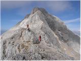 95
95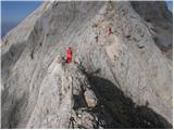 96
96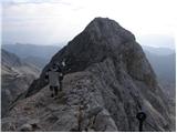 97
97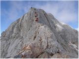 98
98 99
99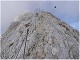 100
100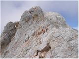 101
101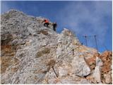 102
102 103
103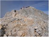 104
104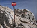 105
105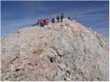 106
106 107
107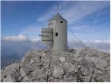 108
108