Zgornja brv - Koča na Klopnem vrhu
Starting point: Zgornja brv (1259 m)
Starting point Lat/Lon: 46.481°N 15.3599°E 
Time of walking: 1 h 30 min
Difficulty: easy marked way
Difficulty of skiing: easily
Altitude difference: 1 m
Altitude difference (by path): 150 m
Map: Pohorje 1:50.000
Access to starting point:
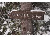
From the highway Ljubljana - Maribor, we take the exit Slovenske Konjice, and then follow the road to the mentioned settlement. In Slovenske Konjice, we turn right towards Oplotnica, which is separated from us by a few kilometers of winding road. In Oplotnica, where we join the road from Slovenska Bistrica, we continue left in the direction of Osankarica. Further on, we ascend along the stream Oplotnica for some time, then we arrive at a crossroad where the road splits into two parts. Here, we continue left in the direction of Rogla. We continue on the road, which soon turns into macadam past the village Lukanja, and higher up leads us to a somewhat larger crossroad, where we continue left in the direction of Rogla and Koča na Pesku (right - Osankarica). From here, after approximately 7.0 kilometers in the left bend, we notice a smaller parking spot where we leave our vehicle. We recognize the starting point by the signposts for Lovrenc. From here to Rogla it is still 7.0 km, to Pesek 4.0 km.
To the starting point we can also come from the direction of Koča na Pesku.
Path description:
From the parking lot, we head (from the starting point there are three paths - left and middle to Lovrenc) on the middle path, which we leave already after a few meters and head right into the forest following the blazes (Klopni vrh - Osankarica and also the marked Slovenian Mountain Trail (transversal). From here on, the path leads us almost all the time through beautiful Pohorje forests and also some wetlands. The forest path joins and branches off several times from the maintained cycling track and macadam path, so it is necessary to watch the blazes all the time, of which there are plenty and enough. We only need to watch at the junction for Osankarica (right), where we continue from the road left into the forest (also well marked). After approximately 1.15 h of walking on the macadam road, we notice the signpost (Klopni vrh 0.15 h left), where we can turn off the path and first visit Klopni vrh 1,340 m and descend from the summit on the other side to the hut Koča na Klopnem vrhu, or continue straight for another approx. 15 minutes along the path to the right bend, where the path branches off left into the forest where we already almost see the hut, and later ascend from the hut to the summit.
The path runs over gentle ascents and descents, and is extremely suitable both for younger and older hikers.
Pictures:
 1
1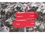 2
2 3
3 4
4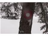 5
5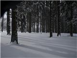 6
6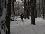 7
7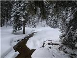 8
8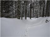 9
9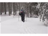 10
10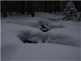 11
11 12
12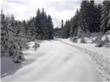 13
13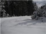 14
14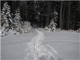 15
15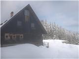 16
16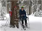 17
17