Gozd - Koča na Kriški gori (Ovčja pot)
Starting point: Gozd (891 m)
Starting point Lat/Lon: 46.341°N 14.3283°E 
Path name: Ovčja pot
Time of walking: 1 h 30 min
Difficulty: easy unmarked way
Difficulty of skiing: partly demanding
Altitude difference: 580 m
Altitude difference (by path): 580 m
Map: Karavanke - osrednji del 1:50.000
Access to starting point:
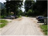
From highway Ljubljana - Jesenice we go to the exit Kranj - west and follow the road ahead in the direction of Golnik. Only a little after the village Golnik (more precisely after the village Senično) steep road branches off to the right upwards, which leads towards Zgornje Veterno and Gozd. Soon after the village Zgornje Veterno, we come to a marked parking lot, which is situated on the left side of the road (starting point for steep path), and we continue driving on an ascending road which soon brings us to the cottage Zavetišče v Gozdu. We can park on one of the two large parking lots by the mentioned cottage, or we drive good 100 meters ahead to the parking lot at the church.
Path description:
From the parking lot, we at first walk to the nearby church, and then we come at the marked crossing, where from the right side joins the path from Golnik. We continue left upwards on an increasingly bad road which in few minutes brings us to a crossing. Here we go on the left path (right Tolsti vrh), which goes past the water catchment further on a cart track. And only few meters ahead cart track brings us to the next crossing. We continue straight on a cart track in the direction of Kriška gora (forest path), right normal marked path. Here at the crossing notification sign says, that we will continue on the path which is in the winter time exposed to avalanches. Cart track, which is ascending through the forest after 20 minutes from the crossing brings us on grassy slopes. Next follows a shorter ascent to the spot, where the path brings us on panoramic side ridge of Kriška gora. Here we run into orientational problem. We continue on the right path, which is ascending by indistinct side ridge on the southern slope of Kriška gora. A little higher, the path brings us to the spot, where in insignificant ascent we cross grassy slopes after which the path brings us in a short lane of a forest. And only a little ahead we come to a clearing, above which we notice route of a cargo cableway. The path ahead is ascending below the cableway upwards all the way to the mountain hut on Kriška gora.
PS: In the case of that from cableway falls any object and hurts us, owner of the cableway isn't responsible for our accident, because we were informed by a sign, that we walk on our own responsibility!
Pictures:
 1
1 2
2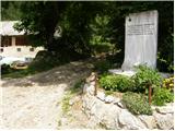 3
3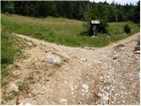 4
4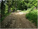 5
5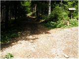 6
6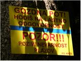 7
7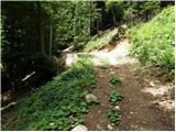 8
8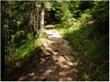 9
9 10
10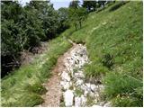 11
11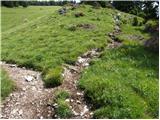 12
12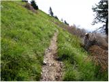 13
13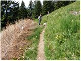 14
14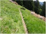 15
15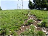 16
16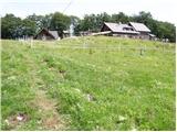 17
17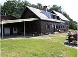 18
18