Kranjski Rak - Planina Marjanine njive (via Seliški rob)
Starting point: Kranjski Rak (1029 m)
Starting point Lat/Lon: 46.283°N 14.6884°E 
Path name: via Seliški rob
Time of walking: 55 min
Difficulty: easy unmarked way, easy marked way
Difficulty of skiing: no data
Altitude difference: 191 m
Altitude difference (by path): 225 m
Map: Kamniške in Savinjske Alpe 1:50.000
Access to starting point:
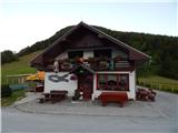
A) First, we drive to Kamnik, and then we continue driving in the direction of the mountain pass Črnivec. Only few 100 meters before the mentioned mountain pass we notice signs for Kranjski Rak, which point us sharply left on a narrow and at first also quite steep road. The road higher flattens and then brings us to mountain pass Volovljek, where near the inn Kranjski Rak we also park (parking in front of the inn is only for guests).
B) From Gornji Grad we drive towards Kamnik, after that only few 100 meters after mountain pass Črnivec we continue right in the direction of Kranjski Rak. Further, we follow the description above.
C) From the valley Savinjska dolina at first we drive to Luče, and then we continue driving towards Kamnik. When we come on the mountain pass Volovljek we park on an appropriate place by inn Kranjski Rak (parking in front of the inn is only for guests).
Path description:
From the mountain pass Volovljek we continue towards the west on a macadam road in the direction of Velika planina, mountain huts Jarški dom, Črnuški dom, Domžalski dom and Dom na Kisovcu. The road at first leads by the pasture, and then passes into the forest, where a marked footpath branches off to the left. We continue on the road which turns a little to the right and at the beginning of the left turn splits into two parts. The right road leads towards the former homestead Štajerski Rak (guesthouse Štajerski Rak is located by mountain pass Volovljek), and we continue on a wider road which leads towards Velika planina, and there we walk few more minutes, or to the spot, where the road makes a sharp left turn. From the mentioned turn in the direction of straight continues worse road (in the summer time we have to cross an electric fence) on which we continue. The path ahead is moderately descending and after the crossing of torrent valley of the stream Brložnica turns right. The path ahead leads us past slide, and then again turns more to the left, where leads us below the rocky towers. When the crossing ends, we reach some kind of broad ridge, from where a view opens up towards the plateau Dleskovška planota.
On the mentioned spot from the right joins the marked path from Podvolovljek, and we continue left on a footpath which ascends steeply above the road. Because of erosion and overgrowth the passage is a little clumsy and mainly in wet also slightly dangerous for slipping. The path for a short time continues on a forested broad ridge and brings us above previously mentioned rock towers, after that for some time turns a little to the right. Further, we are few minutes ascending through the forest and then we cross a grazing fence and we step on the lower part of the mountain pasture Marjanine njive. When the forest ends, ends also until now worse beaten footpath. On a slope we ascend upwards, on one of the trees we notice a blaze, after that a little higher we already notice some shepherd huts on the mountain pasture, and a little to the right also a wooden cross.
Pictures:
 1
1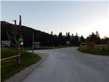 2
2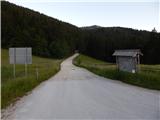 3
3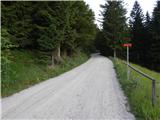 4
4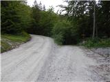 5
5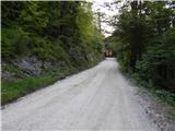 6
6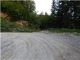 7
7 8
8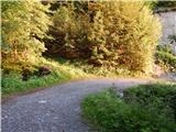 9
9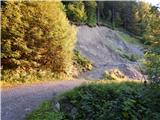 10
10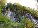 11
11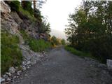 12
12 13
13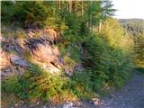 14
14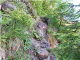 15
15 16
16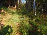 17
17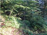 18
18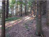 19
19 20
20 21
21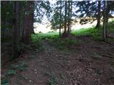 22
22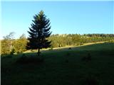 23
23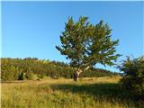 24
24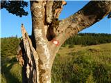 25
25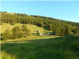 26
26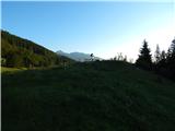 27
27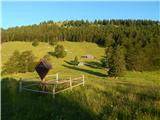 28
28