Planina Kuk - Vogel (via Globoko)
Starting point: Planina Kuk (1150 m)
Starting point Lat/Lon: 46.2112°N 13.7872°E 
Path name: via Globoko
Time of walking: 3 h 30 min
Difficulty: easy marked way
Difficulty of skiing: demanding
Altitude difference: 772 m
Altitude difference (by path): 900 m
Map: TNP 1:50.000
Access to starting point:
Between Most na Soči and Tolmin, the road branches off in Poljubinj. From Poljubinj we drive ahead towards the village Ljubinj, where behind the church we turn left towards the mountain pasture Razor and Stador. The road brings us to the parking lot on the mountain pasture Stador, where nearby there is a mountain hut. We drive further on the mountain pasture Lom and further on the road following the signs mountain pasture Planina Razor. At the altitude 1150 meters we come on the mountain pasture Planina Kuk, where there is a parking lot on which we park. Further driving is forbidden.
Path description:
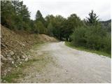
From the parking lot, we continue on for traffic closed road which after few ten strides brings us on the mountain pasture Planina Kuk, where in the summer time we can buy homemade milk product (sour milk, cheese, curd). The road ahead starts gently ascending and eventually brings us to the next gate. After the gate, the path goes into the forest and is barely ascending, and occasionally the path even slightly descends. After one hour of walking, the path brings us on the mountain pasture Razor, where there is the mountain hut.
From the hut, we continue in the direction of Vogel on a gently sloping path to the next crossing, where we go right again in the direction of Vogel (left Tolminski Kuk). Here the path moderately ascends on a panoramic slope and after a short ascent, it brings us into the forest, where it continues next few minutes to the next crossing.
Here we continue left in the direction of "Globoko", right Vogel. The path is at first for few minutes ascending through the forest and then passes on grassy slopes, which are in parts covered with dwarf pines. At first not very steep path is ascending in zig-zags towards the gully between Rušnati vrh and the peak Vrh Planje. On this part, the path is steeper and more panoramic. Next follows a shorter crossing towards the right to grassy slopes on which the path continues. Here the path runs on an old mule track, which is already entirely overgrown and many people don't even notice, that here runs a mule track. A little higher, the path brings us to a bigger military bunker and immediately after that to a smaller emergency bivouac (but it is locked - inside are only benches). The path ahead ascends a little steeper and after few minutes brings us to Globoko.
Here the path passes to Bohinj side and starts descending steeply. After a short descent, we join the path Komna - Vogel. Here we continue right on the path which with some descents and ascents brings us to the next crossing. Here we continue right in the direction of Vogel on the path which soon brings us on the ridge. Next follows only few minutes of walking on panoramic upper ridge of Vogel.
Planina Kuk - Planina Razor 1:00, Planina Razor - Vogel 2:30.
Pictures:
 1
1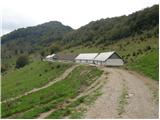 2
2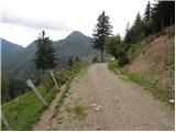 3
3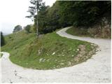 4
4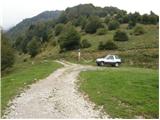 5
5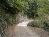 6
6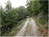 7
7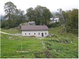 8
8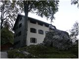 9
9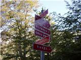 10
10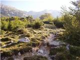 11
11 12
12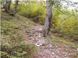 13
13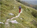 14
14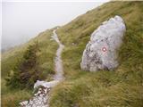 15
15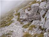 16
16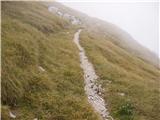 17
17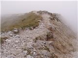 18
18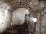 19
19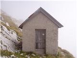 20
20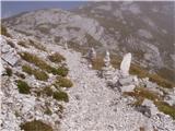 21
21 22
22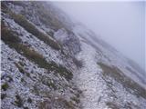 23
23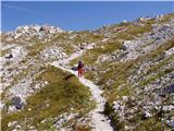 24
24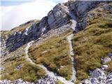 25
25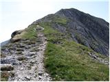 26
26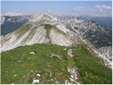 27
27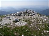 28
28