Rogla (Hotel Planja) - Lovrenška jezera (western path)
Starting point: Rogla (Hotel Planja) (1474 m)
Starting point Lat/Lon: 46.4526°N 15.331°E 
Path name: western path
Time of walking: 1 h 30 min
Difficulty: easy marked way
Difficulty of skiing: no data
Altitude difference: 46 m
Altitude difference (by path): 150 m
Map: Pohorje 1:50.000
Access to starting point:
A) From highway Ljubljana - Maribor we go to the exit Slovenske Konjice and we continue driving towards the mentioned settlement. From Slovenske Konjice we continue towards Zreče, and further we follow the road in the direction of Rogla. When we get to Rogla we park on a large parking lot near the hotel Planja.
B) First, we drive to Lovrenc na Pohorju (to here from the road Maribor - Dravograd), and then we continue driving towards Rogla and Koča na Pesku. Further macadam road then at first brings us to Mašinžaga and then also to the mountain hut Koča na Pesku. From Koča na Pesku we continue on the asphalt road, on which we then ascend to a large parking lot near hotel Planja.
Path description:
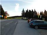
From the parking lot, we walk to mountain signposts, which are located by pizzeria Planja, and then we go on the path in the direction of lakes Lovrenška jezera, saddle Komisija and Ostruščica. At first, we slightly descend by the four-seater chairlift Planja, and when we reach a narrower asphalt path we short time follow it to the left and then signs for lakes Lovrenška jezera point us to the right on a larger pasture. Next follows an ascent on a gentle grassy slope, and higher the meadow is replaced by thin forest and we get on the upper slopes of Ostruščica.
From Ostruščica we descend on a cart track to the saddle Komisija, where the path splits.
We continue slightly left in the direction of lakes Lovrenška jezera and Ribniška koča (slightly right - Lovrenška jezera and Ribniška koča - eastern path) and at first, we still continue through the forest and then the forest starts to get thinner and in a gentle ascent, we get to panoramic slopes, from which a nice view opens up towards Karawanks and Kamnik Savinja Alps. Further, the path returns into the forest and continues without large changes in altitude, and eventually it brings us to a marked crossing.
From the crossing, we continue right in the direction of lakes Lovrenška jezera (straight - Ribniška koča and Lovrenc na Pohorju) and we start ascending on a wooden pavement. After few minutes of the ascent, we join the eastern path, and we go left and we quickly get to a lookout tower at lakes Lovrenška jezera.
From the tower a nice view opens up towards the plateau, where there are located lakes, and from the tower we continue on a wooden pavement, which among dwarf pines take us to the lakes.
Description and pictures refer to a condition in October 2022.
Pictures:
 1
1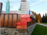 2
2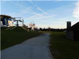 3
3 4
4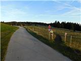 5
5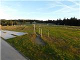 6
6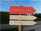 7
7 8
8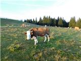 9
9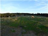 10
10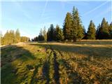 11
11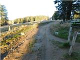 12
12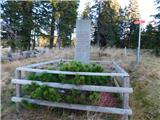 13
13 14
14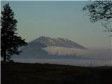 15
15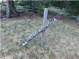 16
16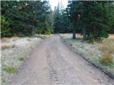 17
17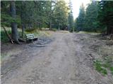 18
18 19
19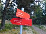 20
20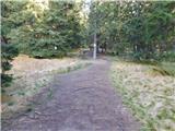 21
21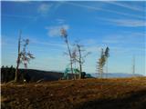 22
22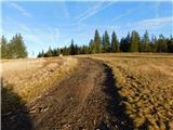 23
23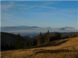 24
24 25
25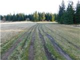 26
26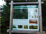 27
27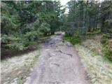 28
28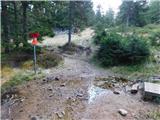 29
29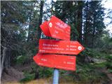 30
30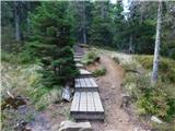 31
31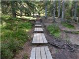 32
32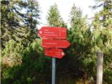 33
33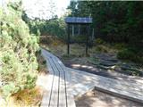 34
34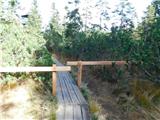 35
35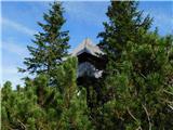 36
36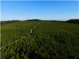 37
37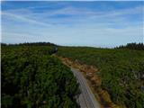 38
38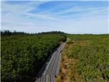 39
39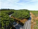 40
40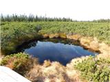 41
41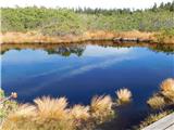 42
42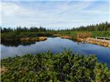 43
43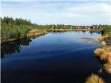 44
44