TV Neuhaus am Klausenbach - Galgenkreuz (by road)
Starting point: TV Neuhaus am Klausenbach (258 m)
Starting point Lat/Lon: 46.84952°N 16.03747°E 
Path name: by road
Time of walking: 1 h 20 min
Difficulty: easy marked way
Difficulty of skiing: no data
Altitude difference: 103 m
Altitude difference (by path): 150 m
Map:
Access to starting point:
We drive to Rogašovci, and then we continue driving in the direction of Kuzma. When we get to Sotina, we turn left in the direction of the settlement Strgarjevo / Kalch. After crossing the national border, we turn right and then drive to the settlement Žabja vas / Krottendorf bei Neuhaus am Klausenbach. After the road sign marking the end of the mentioned settlement, we turn right towards the settlement Bonisdorf. Immediately after leaving the main road, the road splits again, and we park at the parking lot by the tennis court.
Path description:
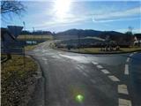
From the parking lot, we return to the main road, and then we continue left in the direction of Strgarjevo / Kalch, where we quickly arrive at the settlement Žabja vas / Krottendorf bei Neuhaus am Klausenbach. Here we first cross the stream Klavžni potok / Klausenbach, and then we turn right onto a side road, along which the blazes continue. The path ahead leads us on a sidewalk, when a road branches off to the right, by which there is a traffic sign with the caption "GPS NO TRUCKS!" and the path splits. A slightly shorter path branches off to the right, but we continue straight. Žabja vas soon ends, and the road, after a brief short descent, starts ascending again. Higher up, we reach a crossroad, where we turn right, and then through a strip of forest we arrive at a junction, where we merge with the previously mentioned slightly shorter path. The path ahead leads us past individual houses; when we reach the next crossroad after some time, we turn right again in the direction of Romischeck. Next follows a slight descent, and then at the beginning of the settlement Romischeck, we continue left. Next follows a short, steeper ascent, where we pass by the settlement; before the border stone of Maria Theresa / Maria-Theresien-Stein, we turn right, following the signs for Schloss Kapfenstein.
Further on, we ascend for a short time between the forest on the left and agricultural fields on the right. When we enter the forest, we continue straight and bypass the observatory on the left side. After a few minutes of easy walking through the forest, we descend slightly and soon arrive at the cross Galgenkreuz.
The description and pictures refer to the condition in January and February 2024.
On the way: Kalchberg (340m), Romischeck (364m)
Pictures:
 1
1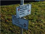 2
2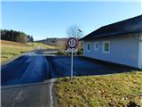 3
3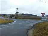 4
4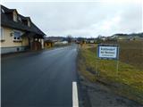 5
5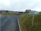 6
6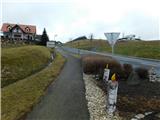 7
7 8
8 9
9 10
10 11
11 12
12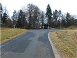 13
13 14
14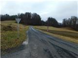 15
15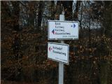 16
16 17
17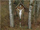 18
18 19
19 20
20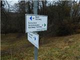 21
21 22
22 23
23 24
24 25
25 26
26 27
27 28
28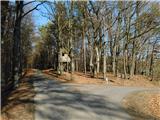 29
29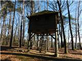 30
30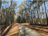 31
31 32
32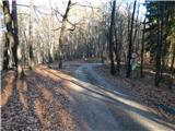 33
33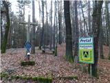 34
34