Vrbovska Poljana - Bjelolasica (direct way)
Starting point: Vrbovska Poljana (1120 m)
Path name: direct way
Time of walking: 1 h 10 min
Difficulty: easy marked way
Difficulty of skiing: partly demanding
Altitude difference: 414 m
Altitude difference (by path): 414 m
Map:
Access to starting point:
Through the border crossing Petrina we drive to Delnice, where we arrive at the old road Zagreb - Reka. We continue right and follow the road ahead towards Mrkopalj. In the village Mrkopalj a sign for Begovo - Razdolje (highest settlement in Croatia) directs us right onto an ascending road which soon brings us to the mentioned village. At the end of the village we come to a smaller crossroad, where we continue on the right road which soon becomes macadam. This road after a few kilometers brings us to the next crossroad, where we continue left in the direction of Bjelolasica (right Janjčarica). Further we drive past the quarry after which we soon notice the KPP hiking markers, which direct us left uphill. Here we park on a smaller parking lot by the road.
Path description:
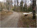
From the parking lot we go left on a footpath which after good 10 minutes of moderate ascent brings us to a poor macadam road, where there is a path junction. We continue straight in the direction of Bjelolasica (left Žuta Poljana) on a path which starts to ascend steeper and steeper. The already quite steep path a little higher brings us to a path junction, where we continue left in the direction of the summit (right shelter). The path ahead ascends even steeper and then brings us onto the summit ridge of Bjelolasica, where the steepness eases. Here, where we again come to a junction, we continue left on the summit grassy ridge. We follow this increasingly panoramic path all the way to the top of Bjelolasica, which we reach after a few minutes of further walking.
Pictures:
 1
1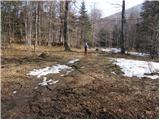 2
2 3
3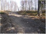 4
4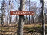 5
5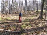 6
6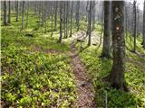 7
7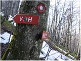 8
8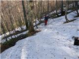 9
9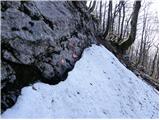 10
10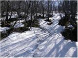 11
11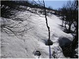 12
12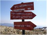 13
13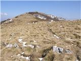 14
14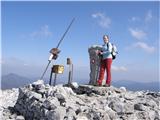 15
15