Aljažev dom v Vratih - Bovški Gamsovec (via Luknja)
Starting point: Aljažev dom v Vratih (1015 m)
Starting point Lat/Lon: 46.4128°N 13.8466°E 
Path name: via Luknja
Time of walking: 4 h 30 min
Difficulty: difficult marked way
Difficulty of skiing: very demanding
Altitude difference: 1377 m
Altitude difference (by path): 1377 m
Map: Tiglav 1:25.000
Access to starting point:
We leave Gorenjska highway at exit Hrušica and follow the road ahead in the direction of Kranjska Gora. Just a little before the village Dovje the road which goes to Mojstrana (Vrata, Kot and Krma) branches off to the left. We follow the road ahead in the direction of valley Vrata and we drive on that road to the large parking lot near Aljažev dom.
Path description:
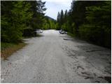
From the parking lot, we continue on a macadam road which after 3 minutes of walking brings us to a crossing at Aljažev dom. We continue straight in the direction of Triglav, Luknja and Pogačnikov dom (right Škrlatica) on a wide path, which goes behind the chapel (on the right side) and Aljažev dom (on the left side) into a lane of a forest. A wide tourist - walking path past the winter bivouac brings us out of the forest, where in front of us we notice the famous wedge (monument dedicated to fallen partisans mountaineers). We continue straight (left Tominšek route) on the path which returns into the forest and it brings us to the next crossing, where we continue straight (right Stenar, Pogačnikov dom). The path ahead is ascending by the torrent and soon brings us to a crossing, where we continue straight in the direction of Luknja (left Čez Prag route). The path ahead crosses a short lane of bushes, and then passes over below the scree of surrounding mountain walls. Here the path towards Bivak pod Luknjo branches off to the right (5 minutes), and we continue straight on the more and more steep path. The last meters below Luknja the path ascends even steeper and it brings us to the border with Primorska. Here a nice view towards the mountains above the valley of Soča river opens up.
Here we go right on grassy slopes following the signs Bovški Gamsovec. The left path runs over Plemenice towards Triglav. The path is then ascending through meadows below the mountain walls of Bovški Gamsovec and Pihavec. A lot of ibexes and alpine marmots are usually here. When we come below the ridge of Bovški Gamsovec path turns to the left and starts steeply ascending towards the ridge on a slightly exposed slopes. The path on the ridge, which is partly grassy, continues quite steep ascending and it brings us to the last part of the path which is a little more demanding, but also secured with a steel cable and iron spikes. When the path from Kriški podi joins from the right we only have few meters to the top.
Vrata - Luknja 2:30, Luknja - Bovški Gamsovec 2:00.
Pictures:
 1
1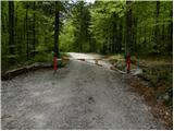 2
2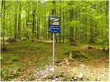 3
3 4
4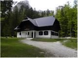 5
5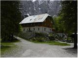 6
6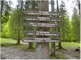 7
7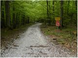 8
8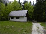 9
9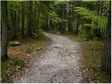 10
10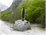 11
11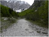 12
12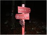 13
13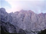 14
14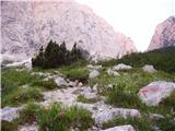 15
15 16
16 17
17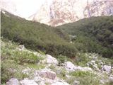 18
18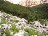 19
19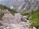 20
20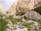 21
21 22
22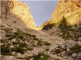 23
23 24
24 25
25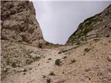 26
26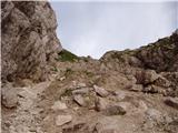 27
27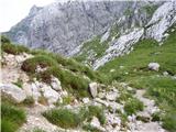 28
28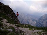 29
29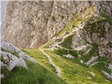 30
30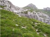 31
31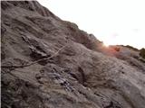 32
32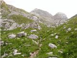 33
33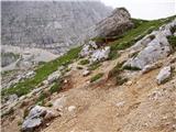 34
34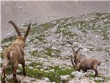 35
35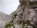 36
36 37
37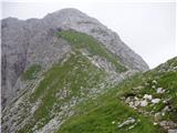 38
38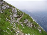 39
39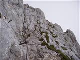 40
40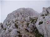 41
41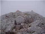 42
42