Aljažev dom v Vratih - Mali Triglav (via Prag)
Starting point: Aljažev dom v Vratih (1015 m)
Starting point Lat/Lon: 46.4128°N 13.8466°E 
Path name: via Prag
Time of walking: 5 h 35 min
Difficulty: very difficult marked way
Difficulty of skiing: very demanding
Altitude difference: 1710 m
Altitude difference (by path): 1710 m
Map: Triglav1:25.000
Access to starting point:
We leave Gorenjska highway at exit Hrušica and follow the road ahead in the direction of Kranjska Gora. Just a little before the village Dovje the road which goes to Mojstrana (Vrata, Kot and Krma) branches off to the left. We follow the road ahead in the direction of valley Vrata and we drive on that road to the large parking lot near Aljažev dom.
Path description:
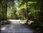
From the parking lot, we continue on a macadam road which after 3 minutes of walking brings us to a crossing at Aljažev dom. We continue straight in the direction of Triglav, Luknja and Pogačnikov dom (right Škrlatica) on a wide path, which goes behind the chapel (on the right side) and Aljažev dom (on the left side) into a lane of a forest. A wide tourist - walking path past the winter bivouac brings us out of the forest, where in front of us we notice the famous wedge (monument dedicated to fallen partisans mountaineers). We continue straight (left Tominšek route) on the path which returns into the forest and it brings us to the next crossing, where we continue straight (right Stenar, Pogačnikov dom). The path ahead is ascending by the torrent to the crossing, where we go left on Čez Prag route (straight Luknja and Plemenice) and after few steps of descent we cross a torrent. On the other side, the path quickly brings us to steep part of the path, where iron spikes help us. With the help of fixed safety gear path quickly brings us level higher to less demanding part of the path. Next we are ascending with increasingly beautiful views on the path which is occasionally surrounded by dwarf pines. Easy part of the path soon becomes more demanding again and there are steel cables for help, for safer walking. Next follows the hardest part of the path Čez Prag. With the help of stemples and a steel cable we ascend on 15 meters high almost vertical chimney. Difficulties then slowly vanish and from the left Tominšek route joins. Only few steps ahead by the path, we notice a pleasant well where we can take a rest. The path ahead soon brings us to the next crossing, where we continue right in the direction of Kredarica (left Staničev dom). The path ahead runs on Triglavski podi, where we can have some problems with orientation (mainly in fog). The steepness of the path gradually increases again and in some parts, there's a steel cable for help. The steepness then again decreases and the path brings us to the mountain hut Triglavski dom na Kredarici to which we have to slightly ascend. At the mountain hut signs for Triglav point us to the right slightly downwards to a small saddle between Kredarica and Triglav. Here we can on the right side notice remains of a glacier Triglavski ledenik (Zeleni sneg). Further, we ascend by the glacier upwards to the entry of a climbing part of the path. The path immediately steeply ascends, and we get help from fixed safety gear mainly iron spikes. After half an hour ascent from the left joins a little easier path from Planika. And only few steps ahead we step on an indistinct peak Mali Triglav.
Pictures:
 1
1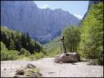 2
2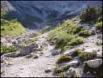 3
3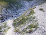 4
4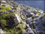 5
5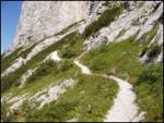 6
6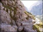 7
7 8
8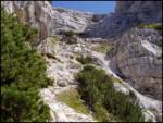 9
9 10
10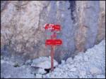 11
11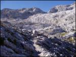 12
12 13
13 14
14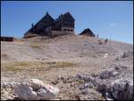 15
15 16
16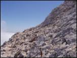 17
17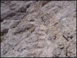 18
18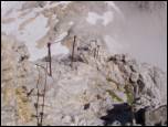 19
19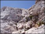 20
20 21
21