Aljažev dom v Vratih - Šplevta (Razor)
Starting point: Aljažev dom v Vratih (1015 m)
Starting point Lat/Lon: 46.4128°N 13.8466°E 
Time of walking: 6 h
Difficulty: partly demanding marked way, easy pathless terrain
Difficulty of skiing: no data
Altitude difference: 1367 m
Altitude difference (by path): 1565 m
Map: TNP 1:50.000
Access to starting point:
We leave Gorenjska highway at exit Hrušica and follow the road ahead in the direction of Kranjska Gora. Just a little before the village Dovje the road which goes to Mojstrana (Vrata, Kot and Krma) branches off to the left. We follow the road ahead in the direction of valley Vrata and we drive on that road to the large parking lot near Aljažev dom.
Path description:
From the parking lot, we continue on a macadam road which after 3 minutes of walking brings us to a crossing at Aljažev dom. We continue straight in the direction of Triglav, Luknja and Pogačnikov dom (right Škrlatica) on a wide path, which goes behind the chapel (on the right side) and Aljažev dom (on the left side) into a lane of a forest. A wide tourist - walking path past the winter bivouac brings us out of the forest, where in front of us we notice the famous wedge (monument dedicated to fallen partisans mountaineers). We continue straight (left Tominšek route) on the path which returns into the forest and it brings us to the next crossing. We continue right in the direction of Pogačnikov dom (straight path čez Prag and Luknja) on the path that starts ascending steeper through the forest. After few minutes of additional walking, we cross a short panoramic clearing, and then the path returns into the forest and starts ascending even steeper. At the altitude 1300 meters by the path, we notice a well (in dry periods dries up) after which we soon pass out of the forest to the foot of steep Sovatna. Here, the path branches off to the left towards the bivouac below Luknja, and we continue straight on a steeper path. The path ahead from grassy slopes passes on gravel slopes (carefully at the descent) and occasionally ascends over a shorter rocky jump. The valley Sovatna then gradually narrows and the path brings us to a short slightly demanding spot (over a jump). With the help of fixed safety gear we ascend a level higher, where the steepness decreases a little. Ahead increasingly panoramic path quickly brings us to a crossing on Dovška vratca.
We continue left in the direction of the mountain hut Pogačnikov dom and Bovški Gamsovec (right Stenar and Križ) on the path from which already after few steps the path on Bovški Gamsovec branches off. We continue slightly right and then we start gradually descending on nicer high mountain terrain. From the path which is still slowly descending also a marked path on Pihavec branches off to the left, and we continue on the bottom path towards the mountain hut Pogačnikov dom. After that, the path crosses slopes above the lake Spodnje Kriško jezero, which we can notice left below us. The path then descends a little and it brings us to the next crossing, where we continue right upwards (left downwards Trenta) and in less than five minutes of further walking we reach the mountain hut Pogačnikov dom, which is situated on a panoramic hill.
From the mountain hut, we continue past the upper station of a cargo cableway, on a marked path which in two minutes of light descent brings us to a marked crossing, where we continue left in the direction of Razor, Planja and Vršič (slightly right Križ and Škrlatica). The path which leads towards Razor and Planja we follow only two minutes, and then we leave it and we continue the ascent right on pathless terrain.
Our next goal is to come into a valley right (eastern) from Razor. To mentioned valley we ascend, by leaving marked path at before the mentioned part and on easier pathless terrain, without any bigger problems ascend into the mentioned valley. When we step into the mentioned valley, a nice view will open up through a valley and peaks, which surround it (Šplevta is right at the back). Further, we are gently ascending through the valley, which is crisscrossed with numerous karst abysses. Small saddle between Razor and Šplevta is now our next goal, to which in good weather, we ascend without any bigger orientational and technical problems.
On the saddle, from which a nice view opens up on Turn pod Razorjem and valley Krnica, we go right and we continue the ascent on and by the upper ridge of Šplevta. This relatively easy and more and more panoramic ridge "path", we then follow all the way to the top, and we reach it after good 10 minutes of additional walking.
In good weather the orientation is relatively easy, in fog almost impossible.
Aljažev dom v Vratih - Pogačnikov dom 4:30, Pogačnikov dom - Šplevta 1:30.
Pictures:
 1
1 2
2 3
3 4
4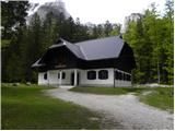 5
5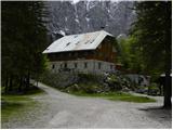 6
6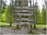 7
7 8
8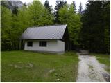 9
9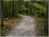 10
10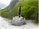 11
11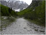 12
12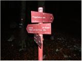 13
13 14
14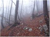 15
15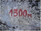 16
16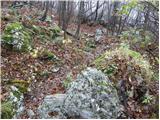 17
17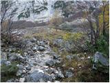 18
18 19
19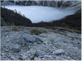 20
20 21
21 22
22 23
23 24
24 25
25 26
26 27
27 28
28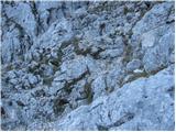 29
29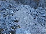 30
30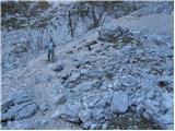 31
31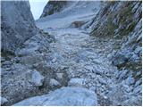 32
32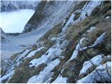 33
33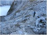 34
34 35
35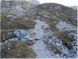 36
36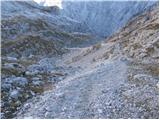 37
37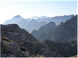 38
38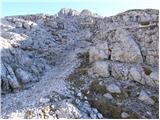 39
39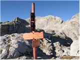 40
40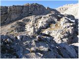 41
41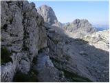 42
42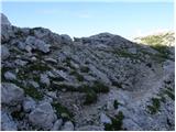 43
43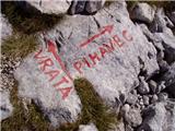 44
44 45
45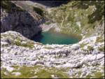 46
46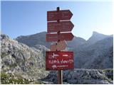 47
47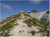 48
48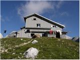 49
49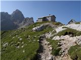 50
50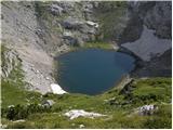 51
51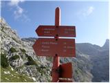 52
52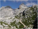 53
53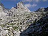 54
54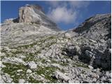 55
55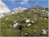 56
56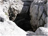 57
57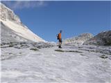 58
58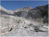 59
59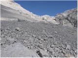 60
60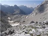 61
61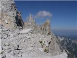 62
62 63
63 64
64 65
65 66
66 67
67 68
68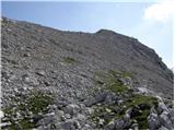 69
69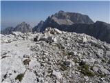 70
70