Andraž nad Polzelo - Brunški vrh (Po poteh Andraža)
Starting point: Andraž nad Polzelo (430 m)
Starting point Lat/Lon: 46.3229°N 15.08729°E 
Path name: Po poteh Andraža
Time of walking: 1 h
Difficulty: easy marked way
Difficulty of skiing: easily
Altitude difference: 81 m
Altitude difference (by path): 81 m
Map:
Access to starting point:
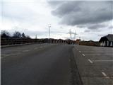
A) From the direction of Maribor or Celje we can drive on the highway to exit Šempeter. We turn right in the direction of Polzela. We drive through Ločica ob Savinji and Breg pri Polzeli. At the end of the Breg pri Polzeli at the roundabout we choose the second exit. We get to Polzela. We drive through the settlement to a bigger crossroad at the fire station Polzela where we continue on the priority road for Velenje and Andraž nad Polzelo. On the left we notice a nice mansion and retirement home Šenek. We get to Založe, and after few minutes we reach the crossroad for Adndraž nad Polzelo. We turn left and we drive straight and at the smaller crossroad, we turn right uphill in the direction of the church of St. Andrej. We drive to the cemetery and nearby on the parking spot we park.
B) From the direction Ljubljana we drive on the highway to the exit Šentrupert. At the exit we turn left in the direction of Mozirje. After approximately 3 km at a larger crossroad we turn right in the direction of Polzela. We drive through the settlement Parižlje. After 1 km we cross the bridge over Savinja and a railway track. We continue on a priority road to the fire station Polzela. From there further, we stick to described path under option A.
Path description:
From the parking lot, we go ahead on the road past the chapel and monument of NOB victims. From here on we go on the road past the primary school Andraž nad Polzelo. We soon get to a day bar Gričar, where there is an inscription book and a stamp. We continue forward in the direction of farm Blagotinšek. On the path we will notice several signs for path Andraška pot, but they are all marked, to which destination they lead. We stick to the signs for farm Blagotinšek. On the left on the hill we soon notice a linden tree with a nice vantage point. Here we can nicely see Gora Oljka. After about 15 minutes from Gričar, we get to Blagotinšek, where there is an inscription box, stamp and a sign for Brunški vrh. From here on we have for approximately 45 minutes of walking. Ahead from Blagotinšek we will notice a sign for path Andraška pot, which turns left downwards past the business building. We follow it. At some house we again turn left downwards on a meadow path. We go past the hayrack and right downwards into the forest. We come on a macadam road by which runs a stream. After few minutes, we get to signs for path Andraška pot. We turn left and then soon right uphill. We walk on the path and we cross a well. We follow the blazes, which are well visible. We soon come out of the forest on the pasture. We cross an electric fence and we go on the path through a meadow. On a birch we soon notice a blaze. It leads us to the business building and then on the road. There we go past houses to the hill, where on the left we notice signs for path Andraška pot and a stamp of Brunški vrh. We follow the sign for a stamp (žig). After few meters of walking a sign for stamp points us on a forest path towards the top of the hill. There are stairs, the path is well marked. In the middle of the hill, we again notice signs for path Andraška pot, because some hikers come from the farm Praprotnik, and others from Blagotinšek. This part of the path is now the same for both directions, because the other path in the direction of Blagotinšek is closed. We go on the path, where there is a stamp. When we come to the top, we can take the stamp and write into an inscription book.
Pictures:
 1
1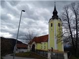 2
2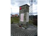 3
3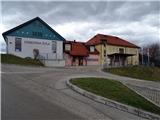 4
4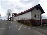 5
5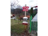 6
6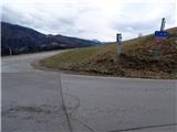 7
7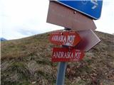 8
8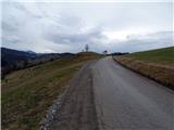 9
9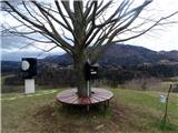 10
10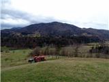 11
11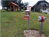 12
12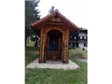 13
13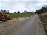 14
14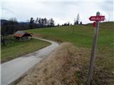 15
15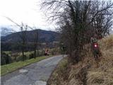 16
16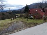 17
17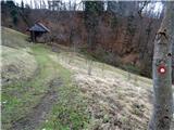 18
18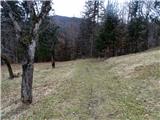 19
19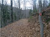 20
20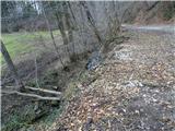 21
21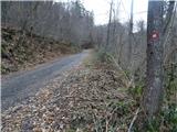 22
22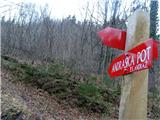 23
23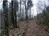 24
24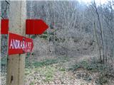 25
25 26
26 27
27 28
28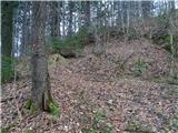 29
29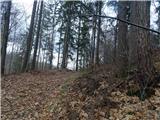 30
30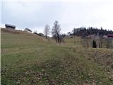 31
31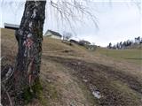 32
32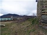 33
33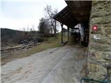 34
34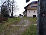 35
35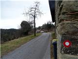 36
36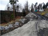 37
37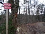 38
38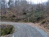 39
39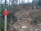 40
40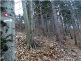 41
41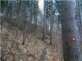 42
42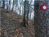 43
43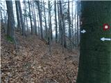 44
44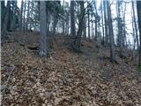 45
45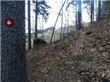 46
46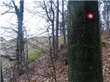 47
47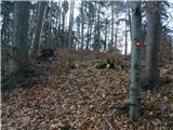 48
48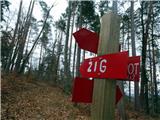 49
49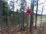 50
50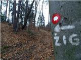 51
51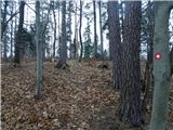 52
52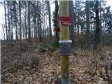 53
53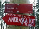 54
54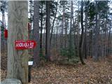 55
55 56
56 57
57 58
58 59
59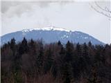 60
60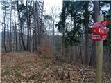 61
61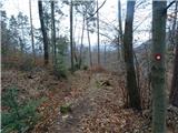 62
62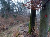 63
63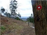 64
64