Bad Gleichenberg (Eichgraben Weg) - Gleichenberger Kogel (via Mühlsteinbruch)
Starting point: Bad Gleichenberg (Eichgraben Weg) (328 m)
Starting point Lat/Lon: 46.88265°N 15.92017°E 
Path name: via Mühlsteinbruch
Time of walking: 1 h 10 min
Difficulty: easy marked way
Difficulty of skiing: no data
Altitude difference: 270 m
Altitude difference (by path): 305 m
Map:
Access to starting point:
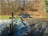
We drive into Gornja Radgona, from where we drive into Austria. Through Radgona / Bad Radkersburg we follow the signs for highway, and after the settlement Halbenrain we turn right in the direction of the town Vrbna / Feldbach. When we get to the settlement Bad Gleichenberg after the car wash Eurowash, we turn right on the road Badstraße, and then we drive also on Ringstraße, Bernreither Straße, Steinriegelstraße and here we turn left on Eichgraben Weg. On the mentioned path we drive for few 100 meters and then we park on a parking lot by the edge of the forest.
Path description:
From the parking lot, we go on a marked footpath which ascends through the forest, and at the very beginning on the left side we bypass a smaller recreation park. Next follows an ascent through the forest, where the path leads us past numerous learning boards, and at the crossings we follow the blazes of the path number 13.
Higher, the path splits, and we choose the right path, by which there are signs for Gleichenberg Dorf (straight - Alte Wasserstelle), and there we are still ascending through the forest. A little further, the path once again splits, and this time we continue left in the direction of Mühlsteinbruch and Enzianhütte.
Follows only a shorter ascent and past a lookout tower we get to the cross on Mühlsteinbruch, mountain hut Enzianhütte is situated a little further.
After the mountain hut Enzianhütte we return on the path number 13 and we follow it to the left, and a little higher we reach forest road which we follow to the left. Next follows few minutes of a diagonal descent on slopes of the mountain Bschaidkogel, and then we reach the saddle between the just mentioned peak and our destination. Here we go left in the direction of "Kogel Gipfel" (straight - Gleichenberg Dorf) and we start lightly ascending on a cart track. A little further from the left joins also an old pilgrimage path and the path which bypasses Mühlsteinbruch. Also further we are mostly ascending diagonally, and higher the path splits. In the direction of straight continues a steep shortcut, and we continue left and then on the path, we start semicircular turning towards the right. We follow this path to the nearby peak, where by the ruins stands the cross with inscription box.
The starting point - Mühlsteinbruch 0:35, Mühlsteinbruch - peak 0:35.
Description and pictures refer to a condition in December 2022.
Pictures:
 1
1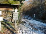 2
2 3
3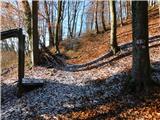 4
4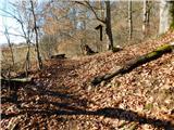 5
5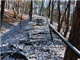 6
6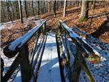 7
7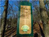 8
8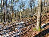 9
9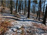 10
10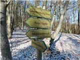 11
11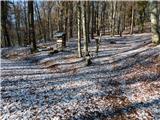 12
12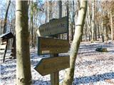 13
13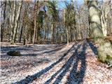 14
14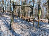 15
15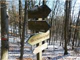 16
16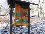 17
17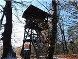 18
18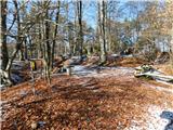 19
19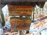 20
20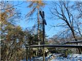 21
21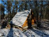 22
22 23
23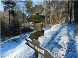 24
24 25
25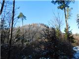 26
26 27
27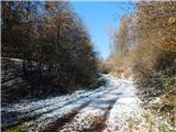 28
28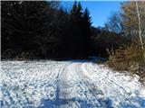 29
29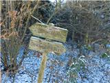 30
30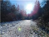 31
31 32
32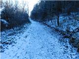 33
33 34
34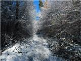 35
35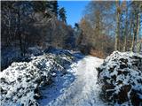 36
36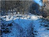 37
37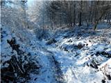 38
38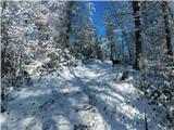 39
39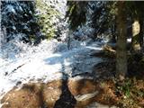 40
40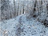 41
41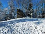 42
42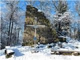 43
43