Bad Vellach - Kärntner Storschitz / Pristovški Storžič
Starting point: Bad Vellach (815 m)
Starting point Lat/Lon: 46.4304°N 14.5515°E 
Time of walking: 2 h 30 min
Difficulty: easy marked way
Difficulty of skiing: no data
Altitude difference: 944 m
Altitude difference (by path): 950 m
Map: Karavanke - osrednji del 1:50.000
Access to starting point:
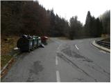
From highway Ljubljana - Jesenice we go to the exit Kranj - vzhod and follow the road ahead in the direction of Jezersko. From Zgornje Jezersko we continue driving towards Austria, and we are driving there to the settlement Bela / Bad Vellach. When the road gets very close to river Bela, we need to pay attention, because we will soon on the left side notice, yellow hiking signposts with signs for Pristovški Storžič, village Korte... Because by the starting point, there aren't any appropriate parking spots, it is best to park already good 100 meters higher, on an appropriate place by the road.
To the starting point, we can also come over the border crossing Pavličev vrh.
Path description:
From the signposts, we at first cross the bridge, and then we start ascending on the macadam road which is closed for public traffic. Through numerous zig-zags, with increasingly beautiful views, in approximately 45 minutes, we ascend to the farm Pastirk, where there is a crossroad of roads.
Here we bypass on the right side a chapel and we walk through a yard of a farm, after that a little above the house we notice yellow mountain signpost, which points us to the right into the forest. Further, we are ascending on an older cart track which has some poorly marked crossings. Higher, on many spots very badly marked path, brings us to a clearing, above which a cart track changes into a footpath. We further follow poorly beaten, but a little better marked path, on which in a moderate ascent, we ascend to the nearby forest road.
When we step on the road, an orientational problems end, because the path is higher better marked. For some time we still walk on the road, and after the hunting observatory we continue straight on a worse cart track, and it quickly changes into a gentle footpath, on which through partly swampy clearing, we walk to a marked crossing on Pastirkov vrh.
Here from the left joins the path from Jezerski vrh, and we continue partly on a cart track, and partly on occasionally steeper mountain path. Higher, the path for some time steeply ascends, and then it brings us on a saddle Kepp, where joins the path from the village Korte / Trögern.
Here we continue left in the direction of Pristovški Storžič on the path which goes into the forest and it gradually starts ascending steeper. During the ascent through the forest the path for few meters quite steeply ascends (in wet dangerous for slipping), and then it flattens and with the help of steel cables crosses few more meters of a little steeper slope (in the dry undemanding). Above the steep part, the path flattens a little and out of the forest brings us into a lane of dwarf pines, through which in few minutes we ascend to the nearby peak.
On the way: Pastirk (1143m), Pastirkov vrh (1401m)
Pictures:
 1
1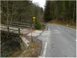 2
2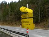 3
3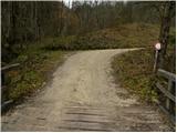 4
4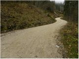 5
5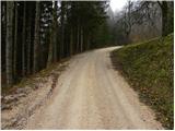 6
6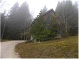 7
7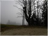 8
8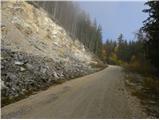 9
9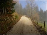 10
10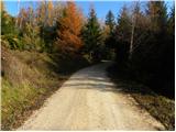 11
11 12
12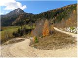 13
13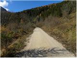 14
14 15
15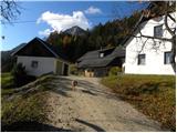 16
16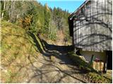 17
17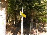 18
18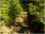 19
19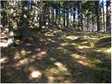 20
20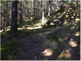 21
21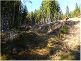 22
22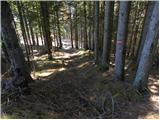 23
23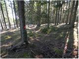 24
24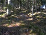 25
25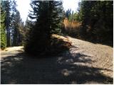 26
26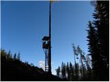 27
27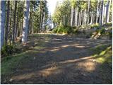 28
28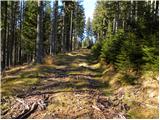 29
29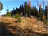 30
30 31
31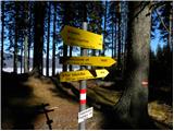 32
32 33
33 34
34 35
35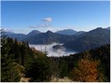 36
36 37
37 38
38 39
39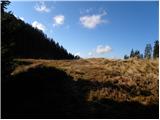 40
40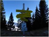 41
41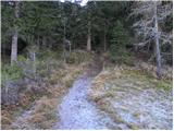 42
42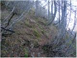 43
43 44
44 45
45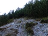 46
46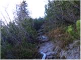 47
47 48
48 49
49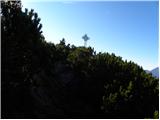 50
50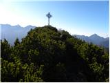 51
51 52
52 53
53 54
54