Bavšica - Hunting cottage Bala
Starting point: Bavšica (698 m)
Starting point Lat/Lon: 46.3699°N 13.6299°E 
Time of walking: 1 h 50 min
Difficulty: easy marked way
Difficulty of skiing: partly demanding
Altitude difference: 602 m
Altitude difference (by path): 602 m
Map: Julijske Alpe - zahodni del 1:50.000
Access to starting point:
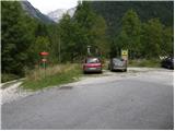
From the road Bovec - Predel at fortress Kluže an asphalt road into a valley Bavšica branches off to the right. We go on the mentioned road which we follow in a moderate ascent to the parking lot in Bavšica (parking lot is located next to TNP signs).
Path description:
From the parking lot, we go on the left rough road in the direction of the mountain hut Zavetišče pod Špičkom and mountain pasture Bala (right Bavški Grintavec) and we follow it a little less than 5 minutes to the spot, where blazes point us to the left on at first a wide footpath. The path soon narrows and it brings us to a smaller crossing, where blazes point us sharply right, on a gradually increasingly steep footpath. The path soon flattens and it brings us to abandoned village Logje (just few meters from the path there is a drinking water).
From the village Logje we continue on a marked footpath which continues on a gentle grassy slope. Further, the path is ascending a little steeper and passes on partly rocky terrain (scree overgrown with high grass). The path then again flattens and passes into a dense forest, where it then continues all the way to an abandoned mountain pasture Bala.
From the mountain pasture, we still continue on a marked path, which then through a lane of a forest brings us to the last well by the path. Only few 10 meters after a well, we notice a hunting cottage Bala, to which we have only few steps of easy walking.
Pictures:
 1
1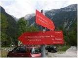 2
2 3
3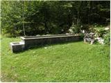 4
4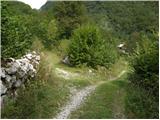 5
5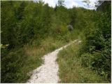 6
6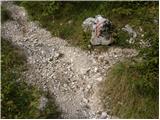 7
7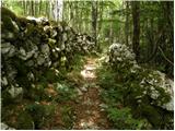 8
8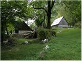 9
9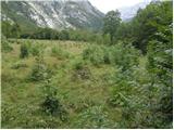 10
10 11
11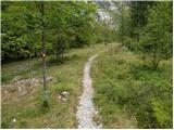 12
12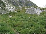 13
13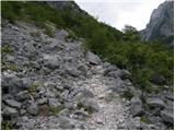 14
14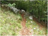 15
15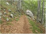 16
16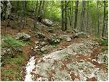 17
17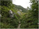 18
18 19
19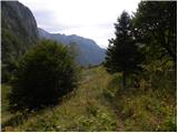 20
20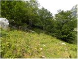 21
21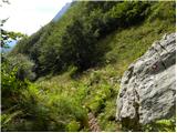 22
22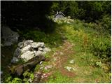 23
23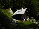 24
24