Beli Potok at Frankolovo - Stenica
Starting point: Beli Potok at Frankolovo (435 m)
Starting point Lat/Lon: 46.3484°N 15.323°E 
Time of walking: 1 h 45 min
Difficulty: easy marked way
Difficulty of skiing: no data
Altitude difference: 656 m
Altitude difference (by path): 700 m
Map:
Access to starting point:
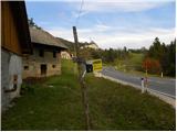
From highway Ljubljana - Maribor, we go to the exit Celje - center, and then we continue driving towards Vojnik, Frankolovo and Zreče. At the end of the Frankolovo, we will notice signs for Lindek Castle (Grad Lindek), which point us to the left on a narrower and ascending asphalt road. By the mentioned road, we then park on an appropriate place.
Path description:
Few minutes we walk on the asphalt road, and then we get to a smaller crossroad, where we don't continue left or right, but straight on a marked cart track in the direction of Lindek Castle, Kislica and Stenica. The path ahead is ascending on a cart track, by the riverbed of the stream Belski potok. Higher, we cross the mentioned stream and the path brings us to 9 meters high waterfall Lindeški slap. Above the waterfall, the path passes on little steeper slopes, and then it flattens and turns slightly to the right. Next follows few minutes of a gentle ascent through the forest and then the path brings us to the nearby macadam road. We follow the road to the right, and only after few steps it brings us on a small saddle, where there is a marked crossing.
Here we continue left on the asphalt road (right - castle Lindek 10 to 15 minutes), which already after few meters brings us to the next crossroad. This time we continue on the right road in the direction of the path on Stenica. At the next crossroad, we again continue right, and for a short time, we still follow the asphalt road, and when we get to a larger meadow, we leave it and we continue the ascent left (to the left point us an arrow on asphalt) by the edge of the forest, relatively steeply upwards. For some time we are ascending by the edge of the forest and then we get to a grassy cart track which we follow to the right, to the nearby farm.
Here we walk through the yard of a residential house (caution a dog!), after which we get to a smaller crossing, where we continue on the left upper cart track. We short time continue on a cart track, and then we get to a worse macadam road which we reach right at its end, and we only cross it and we continue the ascent on a steeper marked hiking path. (To here we can also come, if on the road, instead of turning left on a meadow, we continue straight and then after few minutes we continue left - to avoid the dog).
Few minutes we are ascending relatively steeply through the forest and then we get to the cart track which we follow to the left, and there we walk only for a short time because then signs for Stenica point us to the right on again steeper footpath. For some time we still continue through the forest and then we get to a macadam road which we follow to the left. With a view on Pohorje we walk to the right turn, and at the turn we leave the road and we ascend past the nearby garage into the forest. The path ahead steeply ascends on the eastern ridge of Stenica, and then it brings us on the secondary peak, where it flattens. Next follows a short descent, and then marked path which continues on and by the ridge of Stenica, we follow all the way to the main peak, which we reach after good 20 minutes of additional walking.
Pictures:
 1
1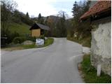 2
2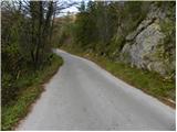 3
3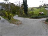 4
4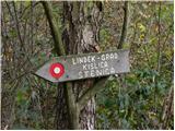 5
5 6
6 7
7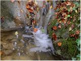 8
8 9
9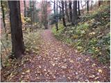 10
10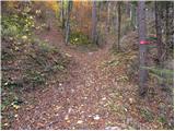 11
11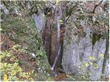 12
12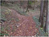 13
13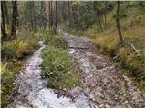 14
14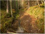 15
15 16
16 17
17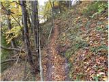 18
18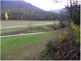 19
19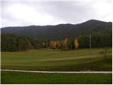 20
20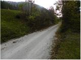 21
21 22
22 23
23 24
24 25
25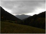 26
26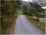 27
27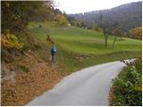 28
28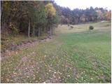 29
29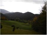 30
30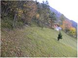 31
31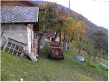 32
32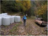 33
33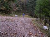 34
34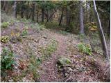 35
35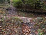 36
36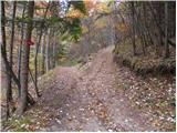 37
37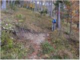 38
38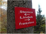 39
39 40
40 41
41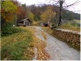 42
42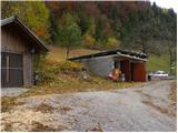 43
43 44
44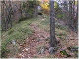 45
45 46
46 47
47 48
48 49
49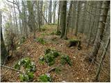 50
50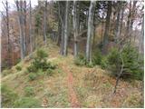 51
51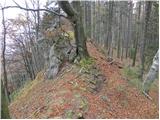 52
52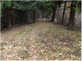 53
53 54
54 55
55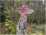 56
56