Bistrica pri Tržiču - Gutenberk Castle (Hudi grad) (west path)
Starting point: Bistrica pri Tržiču (615 m)
Starting point Lat/Lon: 46.362°N 14.285°E 
Path name: west path
Time of walking: 15 min
Difficulty: easy marked way, easy unmarked way
Difficulty of skiing: no data
Altitude difference: 48 m
Altitude difference (by path): 48 m
Map: Karavanke - osrednji del 1:50.000
Access to starting point:
We leave Gorenjska highway at Podtabor junction, and then we continue towards Tržič and Ljubelj. Before Petrol gas station in Bistrica pri Tržiču we go right in the direction of Tržič, after that behind police station Tržič left in the direction of Begunje. Next follows driving through the underpass below the main road, and then we go from the roundabout in the direction towards Begunje and also in the next crossroads, we follow the signs for Begunje. Bistrica pri Tržiču then ends, and from the main road we turn sharply right in the direction of Vila Bistrica (villa is in private ownership) and then we park on an appropriate place by the macadam road.
Path description:
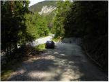
From the spot, where we've parked, we continue on a macadam road, on which in few minutes we get to the crossroad at the chapel.
Behind the chapel, we continue sharply left on the cart track in the direction of Dobrča and Bistriška planina (left Bistrica pri Tržiču and marked path in Tržič, and straight leads macadam road to villa Bistrica and church of St. Jurij). After nearby house cart track passes into the forest and starts ascending steeper. Few minutes we are steeply ascending, and then we reach a small saddle, where we leave the marked path towards Dobrča and we continue right on unmarked, but in the year 2018 made path, on which we quickly ascend to the castle Gutenberk.
Description refers to condition in the year 2018 (May), and pictures are from various periods.
Pictures:
 1
1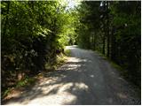 2
2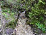 3
3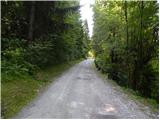 4
4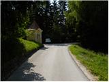 5
5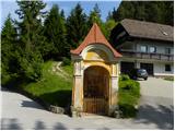 6
6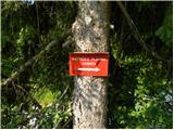 7
7 8
8 9
9 10
10 11
11 12
12 13
13 14
14 15
15