Bosljiva Loka - Krokar (Kočevje mountain trail)
Starting point: Bosljiva Loka (253 m)
Path name: Kočevje mountain trail
Time of walking: 3 h 15 min
Difficulty: partly demanding marked way, easy unmarked way
Difficulty of skiing: no data
Altitude difference: 869 m
Altitude difference (by path): 1050 m
Map:
Access to starting point:
We have to come to the upper course of valley Kolpa, either through the mountain pass Strma reber or through Kočevje and Brod na Kolpi. We park between villages Bosljiva Loka and Mirtoviči.
Path description:
The path starts by the power line pole and at first runs on a cart track. After 100 meters we turn right up on a cart track which soon becomes steep. On the saddle or already a little before it we notice several footpaths, which lead left on the ridge. When we come to the power line pole on a ridge, we are on the right path. Ridge is rising gently, and in parts before peaks we need to step over a high step. The path isn't well-beaten, but it is marked and easy to follow.
After the every peak follows a shorter descent. To Kobila the peak is permanently in front of our eyes. From here on we steeply descend and we notice the peak, only when we are next to it. After the descent, we continue a little left and avoid the ridge tooth. Pine trees are here higher and they veil the view.
The path soon joins the one, that starts in Mirtoviči (and it continues through the valley of the stream). The footpath in parts steeply rises into the ridge and after about 200 altitude meters we are on traverse to a saddle Kremparsko sedlo. In parts it is quite narrow, especially we need to pay attention when crossing the torrents. Almost horizontaly it brings us to a crossroad of the path from Borovec pri Kočevski Reki, where we continue left.
We continue on an increasingly steep path which leads us on and by the ridge of Borovška gora. Higher marked path turns right, and we continue left on an unmarked path, which is steeply ascending for some time, and then it brings us to indistinct viewpoint, where it flattens. The path ahead crosses slopes towards the right, and then it turns slightly to the left and after a short ascent, it brings us on a small saddle between Krokar on the left and Cerk on the right. Here we continue left and on a poorly visible footpath which continues by the edge of precipitous cliffs, in few minutes we get to the top.
On the way: Vršak (605m), Kobila (705m), Kremparsko sedlo (869m)
Pictures:
 1
1 2
2 3
3 4
4 5
5 6
6 7
7 8
8 9
9 10
10 11
11 12
12 13
13 14
14 15
15 16
16 17
17 18
18 19
19 20
20 21
21 22
22 23
23 24
24 25
25 26
26 27
27 28
28 29
29 30
30 31
31 32
32 33
33 34
34 35
35 36
36 37
37 38
38 39
39 40
40 41
41 42
42 43
43 44
44 45
45 46
46 47
47 48
48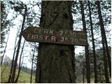 49
49 50
50 51
51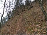 52
52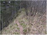 53
53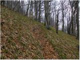 54
54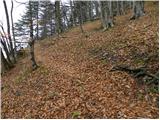 55
55 56
56 57
57 58
58 59
59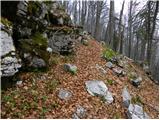 60
60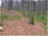 61
61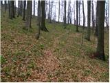 62
62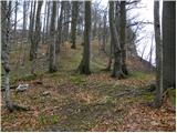 63
63 64
64 65
65 66
66 67
67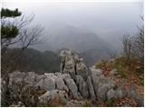 68
68