Starting point: Bučan (1010 m)
Starting point Lat/Lon: 46.4463°N 14.2564°E 
Time of walking: 2 h 15 min
Difficulty: difficult marked way
Difficulty of skiing: no data
Altitude difference: 544 m
Altitude difference (by path): 625 m
Map: Karavanke - osrednji del 1:50.000
Access to starting point:
From highway Ljubljana - Jesenice we go to the exit Ljubelj (Tržič), and then we continue driving in the direction of Celovec / Klagenfurt. After Ljubelj tunnel the road starts descending, and on the Austrian side we follow it to the first left turn, where old Ljubelj road branches off to the right. We park on an appropriate place by the crossroad, or we can also park higher on the Austrian side of the border crossing Ljubelj.
Path description:
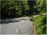
From the starting point, we go on the old Ljubelj road which is with a traffic sign closed for public traffic. The road at first moderately ascends over two zig-zags, and then continues along the stream to the ruins of former church of St. Lenart, by which stands a little bigger religious symbol. Here the road turns to the left and gradually goes away from the valley. From the road then nice views start opening on Palec and other surrounding peaks. The road ahead leads past a smaller crossroad, where we continue sharply right on "main" road, and then in a moderate ascent we cross steep slopes (danger of falling stones, or in the winter time avalanche and slipping). Higher, the road makes few hairpin turns, and then it brings us to the marked crossing.
From the crossing, we continue left in the direction of a marked path on Košutica / Loibler Baba (straight mountain hut Koča na Ljubelju a little less than 10 minutes) and we continue on a bad road. The marked path from the road soon turns right upward and at first steeply ascends. The path soon flattens and it turns left. Next follows a diagonal ascent towards the left, on the path which is usually quite slippery. After few minutes of a diagonal ascent, the path brings us on the border ridge, where it is at first gently to moderately ascending, and higher is for some time quite steeply ascending. During the steep ascent when we look back a nice view opens up towards Stol, Vrtača, Palec..., and steep path brings us to metal ladder, where with the help of fixed safety gear we steeply ascend. Above the ladder follows few more steel cables, and then the path flattens and demanding part of over Rjave peči is behind us. A little further, we cross a grazing fence, and then the path leads us on grassy slopes of Grunt. With nice views on Lokovnikov Grintovec, Košutica (Ljubeljska Baba), Veliki vrh in the ridge of Košuta and other surrounding mountains, we soon get to a marked crossing, where we continue right in the direction of the mountain pasture Korošica and saddle Hajnževo sedlo (straight Košutica, slightly left Lokovnikov Grintovec).
The path ahead leads us on a cart track which is slightly descending, and meanwhile crosses some wells. A little lower from the right also joins hunting path from concentration camp Ljubelj, and we continue straight and in few minutes of additional walking, we get to the mountain pasture Korošica, where on the right side, on a smaller hill we notice mountain dairy.
On the way: Grunt (1614m)
Pictures:
 1
1 2
2 3
3 4
4 5
5 6
6 7
7 8
8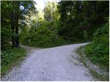 9
9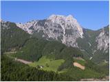 10
10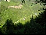 11
11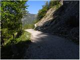 12
12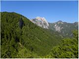 13
13 14
14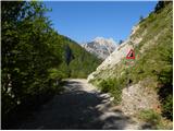 15
15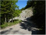 16
16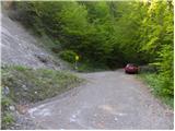 17
17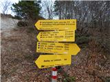 18
18 19
19 20
20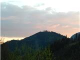 21
21 22
22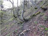 23
23 24
24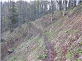 25
25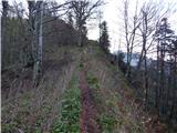 26
26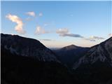 27
27 28
28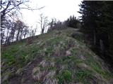 29
29 30
30 31
31 32
32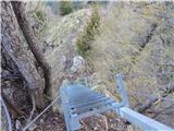 33
33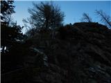 34
34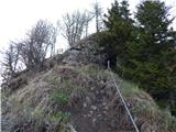 35
35 36
36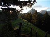 37
37 38
38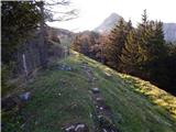 39
39 40
40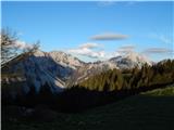 41
41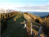 42
42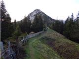 43
43 44
44 45
45 46
46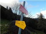 47
47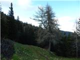 48
48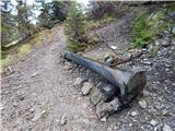 49
49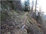 50
50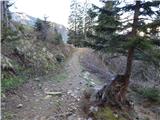 51
51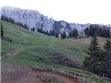 52
52 53
53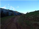 54
54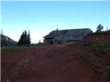 55
55 56
56