Bukovnik - Lanež (Hojnikova pot)
Starting point: Bukovnik (1327 m)
Starting point Lat/Lon: 46.434°N 14.7371°E 
Path name: Hojnikova pot
Time of walking: 2 h
Difficulty: difficult unmarked way
Difficulty of skiing: no data
Altitude difference: 598 m
Altitude difference (by path): 600 m
Map: Grintovci 1:25000, KSA 1:50000
Access to starting point:
We drive into Luče (to here from Mozirje or over Kranjski rak) and we follow the road ahead towards the valley Logarska dolina, but only to the village Solčava, where we turn right towards Podolševa and Črna na Koroškem. The road which is ascending eventually brings us on a crossroad, where we turn right in the direction of Črna. And higher road brings us on a crossroad on the mountain pass Spodnje Sleme. Here we turn right in the direction of the mountain hut Koča na Grohatu and Bukovnik. We soon come to the next crossroad, where left (straight) for traffic closed forest road branches off on Grohat. Here we park on one of the smaller parking lots by the road.
Path description:
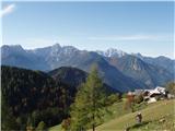
From the parking lot, we go on the upper left road which already after few ten meters crosses the gate. And only a little further we get to the spot, where the footpath branches off left upwards on which we go. The path at first ascends a little, after that mostly in a gentle ascent crosses slopes towards the south. During the crossing we stride across large number of gullies and some steeper slopes. In some parts we even get help from a wooden bridge. After a good half an hour of walking, we come out of the forest on the forest road. Next follows only few steps of gentle ascent to the mountain hut Koča na Grohatu.
At the mountain hut, we go straight gently upwards towards the forest. We look for sign of beginning of the path on the tree and over a grazing fence we ascend on the path which runs to the left upwards. This relatively easy to follow path we follow through the forest to a smaller saddle at an altitude approx 1600 meters. On the saddle, we turn right and on a worse visible footpath we start the ascent below the wall of Lanež. The path goes in some parts in zig-zags steeply upwards and brings us below most difficult part - gully. Here we put on a helmet, because there is a lot of gravel in the gully.
The ascent on a crumbly gravel gully is quite demanding (spots of 1st grade), we get help from remains of once secured path (iron spikes and stemples). At the exit from the gully follows some more of very steep ascent on grass, from where to the top of Lanež is only few steps.
A descent on this path is even more demanding, therefore I recommend descent on newly made path over Durce!
On the way: Koča na Grohat (1460m)
Pictures:
 1
1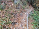 2
2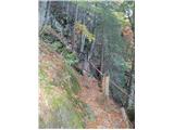 3
3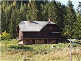 4
4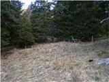 5
5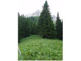 6
6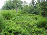 7
7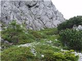 8
8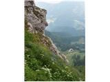 9
9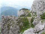 10
10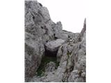 11
11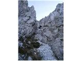 12
12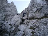 13
13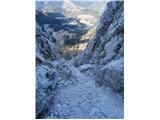 14
14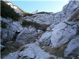 15
15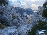 16
16 17
17