Cave del Predil - Šober / Monte Sciober Grande
Starting point: Cave del Predil (900 m)
Starting point Lat/Lon: 46.4439°N 13.5732°E 
Time of walking: 2 h 45 min
Difficulty: easy marked way
Difficulty of skiing: demanding
Altitude difference: 945 m
Altitude difference (by path): 960 m
Map: Julijske Alpe - zahodni del 1:50.000
Access to starting point:
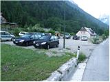
A) Over the border crossing Rateče we drive to Trbiž / Tarvisio, and then we continue driving in the direction of Bovec. On the very beginning of the settlement Rabelj / Cave del Predil we will on the left side of the road notice signposts in the direction of saddle "La Portella". We park a little further on a macadam parking lot.
B) Over the border crossing Predel we drive to Italy, and we drive in the direction of Trbiž / Tarvisio, but only to the settlement Rabelj / Cave del Predil, where we will by the end of the settlement notice macadam parking lot and few steps ahead also the beginning of the path which leads towards the notch Vraška škrbina / La Portella.
Path description:
From the parking lot, we at first walk to signposts, and then we go on a footpath in the direction of notch Vraška škrbina / La Portella (path 511). The path at first ascends through a meadow, and then goes into the forest, where it is ascending by the torrent stream. Ahead we avoid the stream a little to the left and then the path turns slightly to the right, where it crosses a little larger clearing. The path further starts ascending steeper, and then turns to the right, where entirely flattens. Ahead while crossing towards the right we cross few gullies, and then the path starts steeper and steeper ascending.
After approximately hour and a half of walking from the starting point, steepness suddenly decreases and the path brings us in a little more plateau terrain by the foot of steep cliffs of Vršič (1919 meters), Grintavec (1949 meters) and Skutnik (1865 meters). The path from which a view opens up a little also towards Viš group (higher also Kanin), then again a little steeper ascends and after further ascent brings us on notch Vraška škrbina, where there is a marked crossing.
On the saddle, from where a breathtaking view opened up towards Mangart and Jalovec we continue left (right saddle Čez Stože 15 minutes - a look on Loška stena) on a very panoramic ridge path which continues in a gentle ascent, on a slope surrounded by dwarf pines. After a little less than 30 minutes of walking on this ridge path, we will in front of us notice main peak, on which there is a smaller cairn. To the top we have only a short descent to a small saddle between the both peaks and crossing on the other side of the peak, where we also come on an unmarked crossing. At the crossing, we go right, steeply upwards and in few 10 strides of steep walking we reach the peak (dangerous for slipping).
Rabelj - Vraška škrbina 2:10, Vraška škrbina - Šober 0:35.
Description and pictures refer to a condition in the year 2009 (June).
On the way: Vraška škrbina / Portella (1798m)
Pictures:
 1
1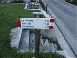 2
2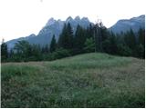 3
3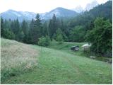 4
4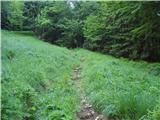 5
5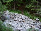 6
6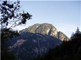 7
7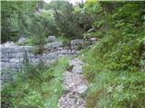 8
8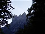 9
9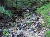 10
10 11
11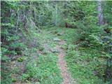 12
12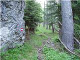 13
13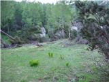 14
14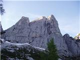 15
15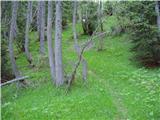 16
16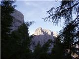 17
17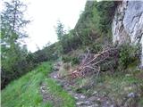 18
18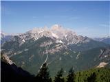 19
19 20
20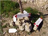 21
21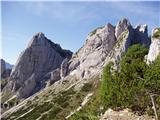 22
22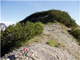 23
23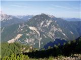 24
24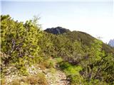 25
25 26
26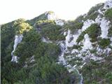 27
27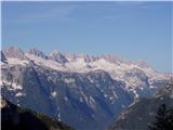 28
28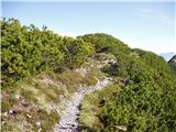 29
29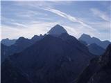 30
30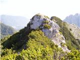 31
31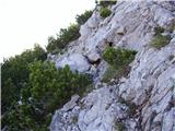 32
32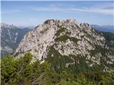 33
33 34
34